
-
 6152 Hits
-
 83.69% Score
-
 17 Votes
|
|
Route |
|---|---|
|
|
45.87591°N / 7.14523°E |
|
|
Mountaineering |
|
|
EE/F+/PD- |
|
|
Overview
Good trip for training low or end of season. With round trip in crest very good training; otherwise from saddle 2.800m~ of Pain de Sucre to go down by north direction to great valley and to regain the Pass Great Saint Bernard in easy ascent. Various views crossing the ridge: from Mont Velan to Combins and from Mont Fourchon to the whole of Mont Blanc Mountain Chain; wonderfull the views to Mont Dolent.
Buon gita di allenamento di inizio stagione o in avanzato autunno. Con andata e ritorno in cresta diventa ottimo allenamento. Altrimenti dalla sella 2.800 metri circa del Pain de Sucre scendere a nord nel vallone "riguadagnando" il Colle del Gran San Bernardo con una leggera risalita. Viste varie percorrendo la cresta: dal Mont Velan ai Combins e dal Mont Fourchon verso tutta la Catena del Monte Bianco; splendide sul Mont Dolent.
First Ascents
- First on the summit: Unknown.
- In winter: Unknown.
 |
Getting There
BY CAR:- From Torino, Milano, etc: Motorway A5. Exit Aosta Est.
- From Switzerland: through the Grand St. Bernard Tunnel or the homonym pass.
- From France: through Mont Blanc Tunnel or Petit St. Bernard Pass. It isn't necessary to enter in Motorway A5, you can drive through SS.26 Aosta direction.
- Aeroporto "Corrado Gex" Saint Christophe (Aosta).
Route Description
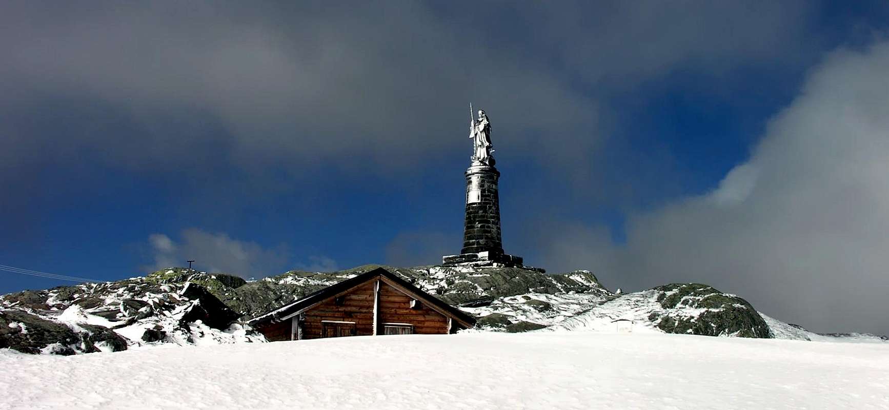
From Saint Bernard Pass (2.469m) to go up by path traces in Northwest direction to Little Chenalette (2.664m) and from this in crest by Northeast direction to Chenalette (2.792m; alternative possibility in right by clear traces in North; good views in right to Garden Vallis littles lakes. By route partly equipping (to examine the staircase) in direction North to climb a Great Chenalette (2.890m) an more easily to Drône Point in Northwest. To descent with Southwest direction to d'Haut Fenêtre or Fonteinte Pass and to namesake South Point (2.775m); through short digression to North to reach the North Summit (2.777m), worthy for the splendid view over three Fenêtre Lakes. To go back and to come down to Ferret Fenêtre (2.698m), by Southwest direction. Again Southwest direction to get over a grassland "hump" and to reach Fenêtre Tête (2.823m) a brief descent (I°+/II°-) leading a more sharp edge. By a passage exposed (I°+) with friable rock to reach Quota 2.855m or Vens Arête and by North Ridge to Mount Fourchon North Summit (2.902m) utilized in west traces or climbing in edge by white lime stone (II°, even III°- step is not required). From Mont Fourchon to East to reach at large sadlle 2.800m~ in Pain de Sucre West. To climb the West Crest by obvious traces in North side by some greats rocks (I°+) to achieve to aerial summit (2.900m; wooden cross; 3h'30/4h'00). In descent by same route, also from 2.800m~ Saddle to descent by debris couloir to valley in altitude 2.600m~ and by path to East to joint the Mountain Baùs (2.356m); with easy going up again by SS.27 to Great Saint Bernard Pass. (7h'00/8h'00 in crest, round trip; 5h'30/6h'00 along the great valley).Dal Colle del Gran San Bernardo (2.469 m) risalire su tracce di sentiero verso NW alla Petite Chenalette (2.664 m) e da questa in cresta verso NE alla Chenalette (2.792 m; possibilità di raggiungerla su evidente sentiero a N con a destra i laghetti du Jardin du Vallis). Con percorso parzialmente atrezzato (controllare le scale) verso N alla Grande Chenalette (2.890 m) e più facilmente verso NW alla Pointe du Drône (2.949 m), tramite alcune catene. Scendere verso SE alla Fenêtre d'en Haut o colle di Fonteinte (2.724 m) e all'omonima Punta Sud (2.775 m); con una breve digressione a N raggiungere la Punta Nord (2.777 m) meritevole per la splendida vista sui tre Lacs de Fenêtre. Ritornare e scendere verso SW alla Fenêtre de Ferret (2.698 m). Con direzione SW superare una gobba erbosa e raggiungere la Tête de Fenêtre (2.823 m); una breve discesa (I°/II°-) porta alla cresta più affilata che con un passaggio esposto (I°+) su roccia friabile conduce alla Quota 2.855 m (Arête des Vens) e per la cresta Nord al Mont Fourchon Punta Nord (2.902 m) su tracce a W o salendo sul filo alcuni roccioni di roccia calcarea biancastra (II°/III°-; non obbligato; divertente). Dal Mont Fourchon verso E raggiungere la larga sella 2.800 m circa a W del Pain de Sucre. Risalire la cresta W su evidenti tracce a Nord e alcuni roccioni (I°+) raggiungerne l'aerea vetta (2.900 m; croce di legno 3h'30/4h'00). In discesa ripercorrere lo stesso itinerario, oppure dalla Sella 2.800 m circa scendere per un canalone detritico nel vallone a quota 2.600 m circa e su sentiero verso E raggiungere il parcheggio della Montagna Baùs (2.356 m) e con leggera risalita sulla SS.27 il Colle del Gran San Bernardo (7h'00/8h'00 in cresta andata e ritorno; 5h'30/6h'00 lungo il vallone).
Difficulty
The route can be classified as EE/F+/PD-.Da escursionismo.
Climbing
 |
 |
 |
 |
 |
External Links
- REGIONE AUTONOMA VALLE D'AOSTA the official site.
- FONDAZIONE MONTAGNA SICURA Villa Cameron, località Villard de la Palud n° 1 Courmayeur (AO) Tel: 39 0165 897602 - Fax: 39 0165 897647.
- SOCIETA' DELLE GUIDE DELLA VALPELLINE Etroubles-Strada Nazionale, n° 13 - Tel +39 0165 78559 - Valpelline-Loc Capoluogo, n° 1 - Tel +39 0165 713502 (AO) Italia.
- A.I.NE.VA. (Associazione Interregionale Neve e Valanghe).