
-
 1392 Hits
-
 82.48% Score
-
 15 Votes
|
|
Mountain/Rock |
|---|---|
|
|
44.68062°N / 6.95974°E |
|
|
Piedmont |
|
|
Hiking, Mountaineering |
|
|
Spring, Summer |
|
|
9944 ft / 3031 m |
|
|
Overview
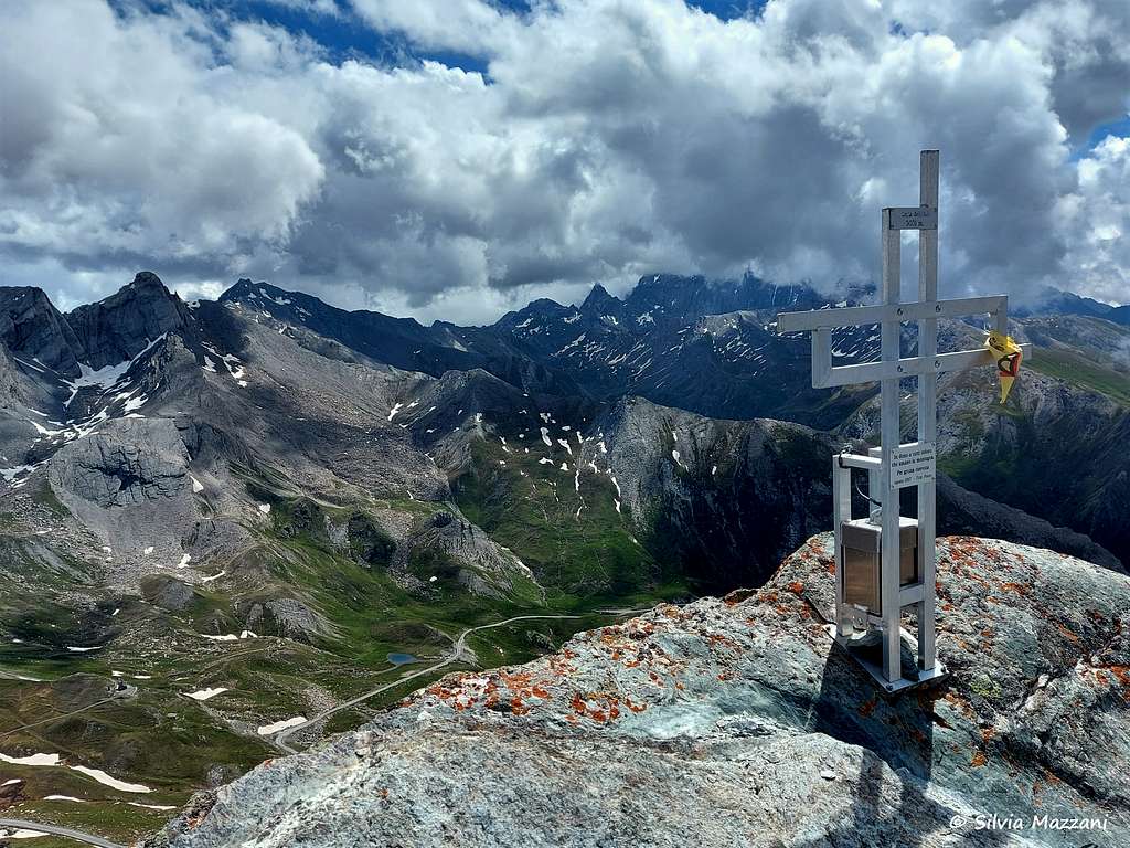
Punta dell'Alp 3031 m
Punta dell'Alp 3031 m is a minor mountain, anyhow exceeding the threshold of 3000 meters, belonging to the Alpi Cozie and located on the Italian-French border between the upper Val Varaita Municipality of Pontechianale) and the Queyras (Municipality of Ristolas). The mountain is located about a thousand meters away and south-west of Colle dell'Agnello and is close to another Threethousander, Monte Pelvo or Pic Caramantran, from which it is separated by a saddle at an altitude of 2,969 m. The French side of the Punta dell'Alp is located within the Parco Naturale Regionale del Queyras.
The Normal route starting a couple of kilometers on the French side of Colle dell'Agnello is a very panoramic and profitable climb, especially in early summer, which does not present particular difficulties and with a moderate elevation gain. Therefore suitable as a training climb at the beginning of the season.
Getting There
The starting point to climb Punta dell'Alp is Colle dell'Agnello 2748 m, a high road pass between Italy and France. From Pinerolo or Cuneo reach the entrance to Val Varaita and drive up it, passing Sampeyre, Casteldelfino and Chianale and reaching Colle dell'Agnello.
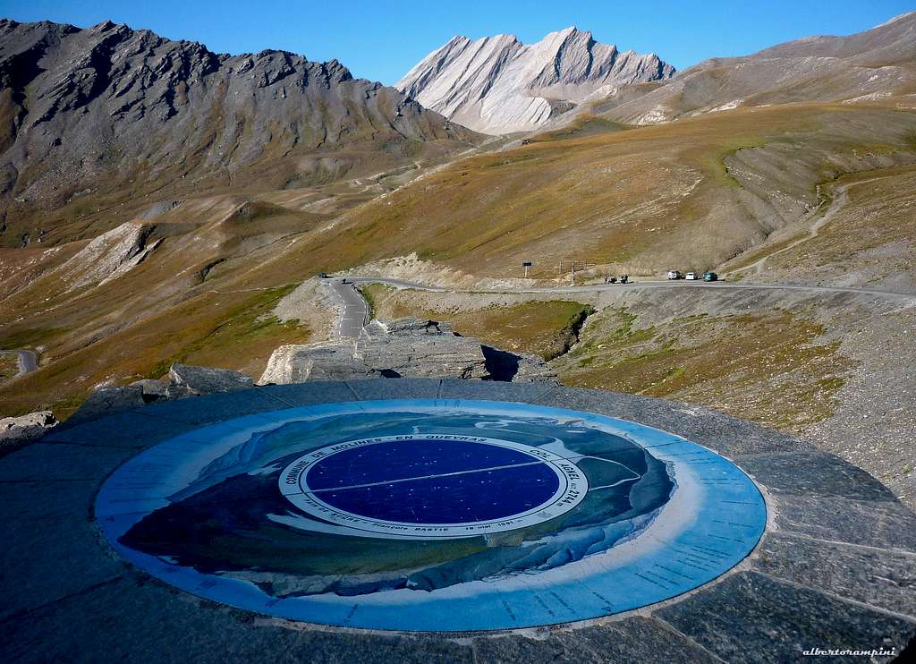
- Coming from Italy: cross the Colle dell’Agnello, descend by car to the first wooden hut located a few bends below, leaving the car in the adjacent parking lot at an altitude of 2640 m.
- Coming from France: from Molines en Queyras follow the road to Colle dell'Agnello and a couple of km. before before reaching the pass near a wooden hut on the right park the car in a parking lot on the left at an altitude of 2640 m.
Punta dell'Alp Normal Route across the Col de Chamoussiére
Punta dell'Alp Normal Route
Difficulty: EE/F depending on the chosen itinerary
Difference in level: 400 m from the parking lot
Starting point: parking lot a couple of km below Colle dell'Agnello, on the French side
The standard route up to the summit climbs across the Col Chamoussiére in French territory and doesn't present particular difficulties.
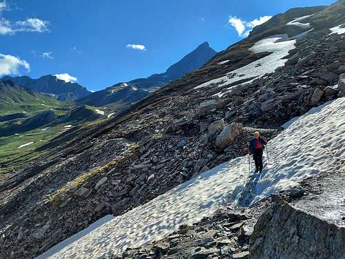
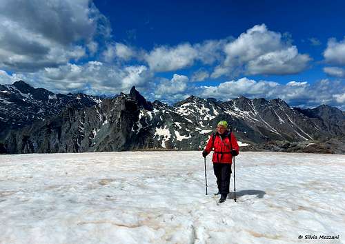
From the car park, cross the road and take the path in front, joining shortly after the start the main path GR 58 to the he Col de Chamoussière 2882 m. You initially lose a bit of altitude, then you begin to climb up along the southern side of the valley, where snow fields remain at the beginning of the season, making a wide semicircle to finally reach Col de Chamoussière (2884 m) with some hairpin bends. Here it opens a fine view to the Roc della Niera or Tête des Toillies.
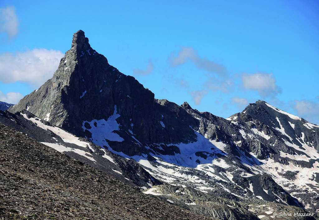
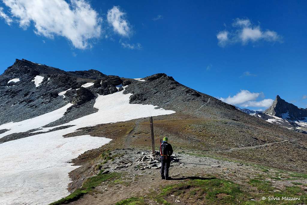
From the col the path GR58 descends on the right for the Tour del Queyras. A second path leads to Col di San Veran. Some tracks on the left head instead high towards the ridge. We take these tracks, climbing up to the ridge. At about three thousand meters we leave the Pelvo on our right (Pic de Caramantran for French mountaineers), which we will eventually climb on the way back, to reach an unnamed peak with a large cairn and prayer flags. At this point it starts a rocky crest in the East direction. To summit the Punta dell'Alp located along the ridge there are two alternatives:
- to follow the entire crest with some delicate passages on unstable ground and some bypasses to avoid the most difficult rocky sections (more challenging)
- go down to the right to take a track traversing in the East direction below the ridge on scree slopes
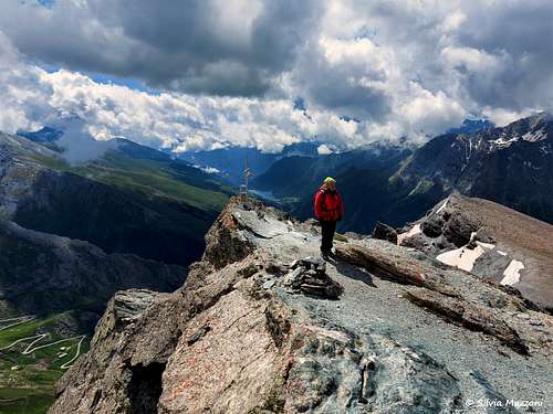
Depending on the route followed, you will reach the small summit cross in about 15/30 minutes
Descent: follow the easiest route under the ridge and then reach with a short ascent a saddle located between a secondary peak to the right and the Pelvo to the left. From here in about 10 minutes you can reach also the summit of Il Pelvo, aka Pic de Caramantran
Direct Route from Colle dell'Agnello
Direct Route
Difficulty: F
Difference in level: 280 m from Colle dell'Agnello
Starting point: Colle dell'Agnello
From Colle dell'Agnello you climb directly to reach the ridge that leads to the Punta dell'Alp, which you follow with some easy climbing steps up to the summit.
Red Tape
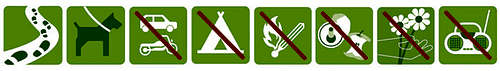
No fees no permits required. Punta dell'Alp is located within the Parco Naturale Regionale del Queyras.
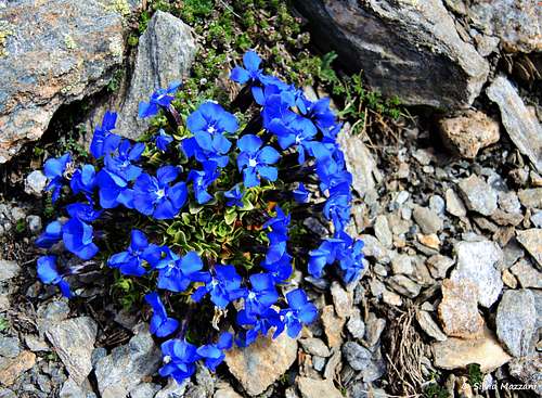
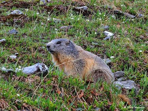
Please respect the rules provided for within natural parks and protected areas. Fires are strictly forbidden and the whole fauna and flora is protected. Don’t disturb fauna and other mountaineering and hikers’ peacefulness with every kind of noise.
When to Climb
Mountaineering: the best period goes from middle June to the end of September
Ski mountaineering: from March to May
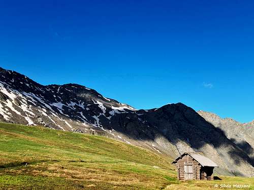
Accomodation
There are different possibilities both on the italian and the french side: B&B, huts, apartments, camping, hotels.
Huts on the Italian side
Rifugio Alevè 1600 m
Rifugio Savigliano 1743 m
French side
Refuge Agnel 2580 m
Meteo
Meteo Regione Piemonte
Meteo France
Meteo Alpi
Guidebooks and maps


“Monte Viso – Alpi Cozie Meridionali” by Michelangelo Bruno – Collana CAI-TCI Guide dei Monti d’Italia
Maps
"Monviso-Valle Varaita-Valle Po-Valle Pellice" -IGC sheet 106 1:25000
"Mont Viso" IGN 3637 OT