
|
|
Mountain/Rock |
|---|---|
|
|
19.06868°N / 98.39799°W |
|
|
San Jerónimo Tecuanipan |
|
|
Hiking |
|
|
8117 ft / 2474 m |
|
|
Overview
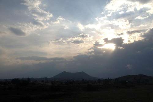
Cerro Tecajete from the northeast. The silhouette of Popocatepetl is barely visible in the back.
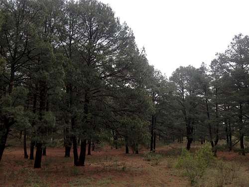
For decades, the Tecajete has been extensively mined for its tezontle, a volcanic rock used in construction. As a result, the eastern slopes which face Puebla have disappeared almost completely, exposing deep layers of red sand. Still, a rather short hike to its crater and two summits takes you through a beautiful pine-oak forest which is typical for the better preserved areas of the Mexican highlands.
Getting There
The Paso de Cortés road connects the towns of Amecameca (State of Mexico) and Cholula (Puebla). Between Nealtican and Santa María Acuexcómac (around the 9.2 km mark on the Puebla side), take the exit to Papaxtla. Once in town, take the first to the left until it merges with a red gravel street. The trail begins some 120 m later, on the left side.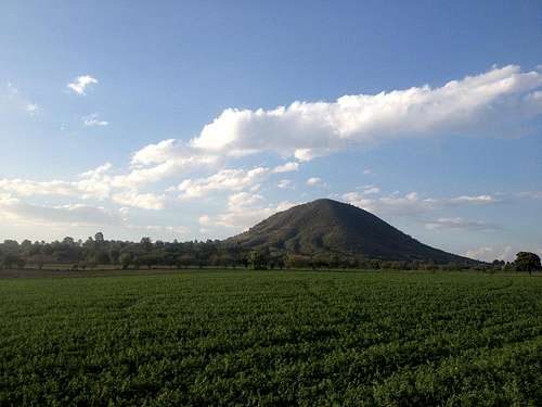
Cerro Tecajete from the Paso de Cortes road, near the Papaxtla exit.
Public transportation departs from San Pedro Cholula (at the corner of 6 Poniente and 5 Norte), but only lets you at the side of the Paso de Cortés road. By foot, it is about half an hour to the trail head from there.
I've also cycled to Papaxtla from Cholula. Although the route provides an elevation gain of over 100 m, the ascent is pretty smooth. I've chained my bike at the trail head, hidden between some yellow trumpetbushes. Anyway, there usually aren't many people around, so I haven't really feared that it might get stolen.
Route
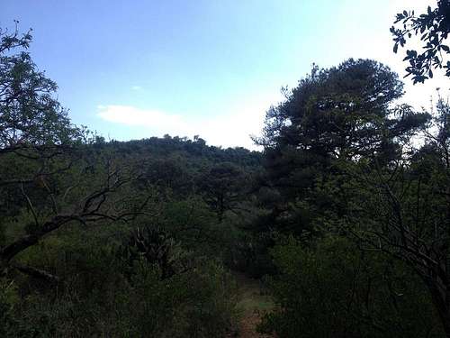
South summit of the Tecajete seen through the crater's pine forest
The trail is steep and very stony, so trekking boots are better than trainers or sneakers. Otherwise it is pretty clear and takes you to the ridge, which is the edge of the former crater, in about 20 minutes. From there you can take the longer way to the right and reach the smaller north summit (2,457 m) first, or continue straight ahead to reach the south summit (2,474 m), where the town people have built a Catholic shrine. Either way, an exploration of the inside of the former crater provides a great opportunity for birdwatching and relaxing in its dense forest.
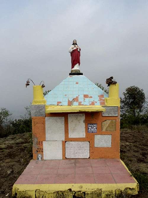
Shrine on the south summit
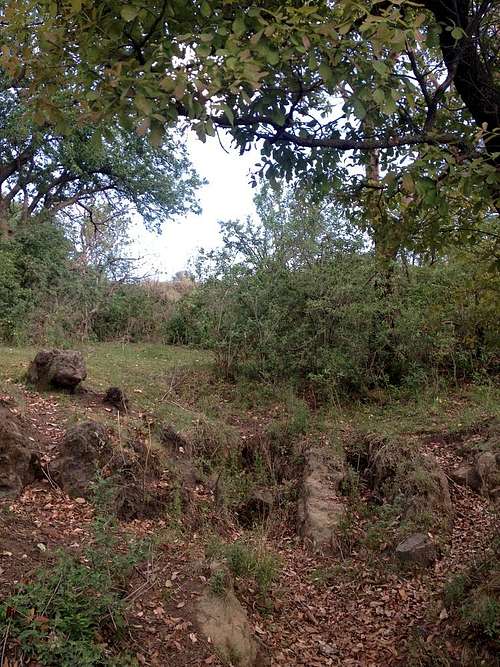
Meadow on the western slopes
Red Tape
There are no restrictions, but I advise you to keep away from the three mines on the east, north and northwest sides.When to Climb
The hill can be climbed year round. During the wet season (May to October), be sure to check the weather forecast, especially if you plan on staying there in the afternoon.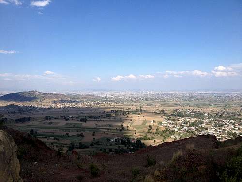
View from above the tezontle mine over the valley of Puebla. The hill on the left side is cerro Zapotecas.
External Links
- Cerro Tecajete loop on Wikiloc. Bear in mind that this is a normalized route I drew by hand — to eliminate all the squiggles from my phone's GPS losing track. That's why the elevation profile doesn't correspond to the height I mentioned above.
- Cerro Tecajete (long route) on Wikiloc.
- Cerro Tecajete on Wikiloc. This is not a loop, but I wanted to show that there are actually more paths to the top. This trail begins closer to the Paso de Cortés road and ends on the head of the trail above.