Telluride, Silverton, Ouray & Lake City, Colorado - Trails Illustrated Maps #141
| Page Type | Gear Review |
|---|---|
| Object Title | Telluride, Silverton, Ouray & Lake City, Colorado - Trails Illustrated Maps #141 |
| Manufacturer | National Geographic Maps |
| Page By | redsplashman23 |
| Page Type | Nov 10, 2011 / Nov 10, 2011 |
| Object ID | 7891 |
| Hits | 3021 |
| Vote |
Product Description
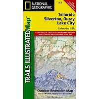
"Series: National Geographic Maps: Trails Illustrated | Publication Date: May 1, 2004Coverage area includes parts of San Juan and Uncompahgre national forests; south San Juan Mountains; Lizard Head, Mt Sneffels and Uncompahgre wilderness areas; Calico National Recreation Trail; portions of the Colorado Trail; the trail networks at Coal Bank Pass and Silver Jack Reservoir; and the cities and surrounds of Telluride and Ouray. 14ers: Mt Wilson, El Diente Peak, Wilson Peak, Mt Sneffels, Uncompahgre Peak, Wetterhorn Peak, Redcloud Peak, Sunshine Peak. Includes UTM grids for use with your GPS unit."
Features
Publisher: Natl Geographic Society Maps; 5 edition (May 1, 2004)Language: English
ISBN-10: 1566953405
ISBN-13: 978-1566953405
Product Dimensions: 7.3 x 3.9 x 0.4 inches
Images
 |