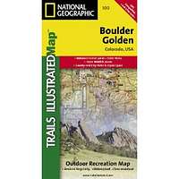
Boulder/Golden, Colorado, USA Outdoor Recreation Map (National Geographic Maps: Trails Illustrated)
| Page Type | Gear Review |
|---|---|
| Object Title | Boulder/Golden, Colorado, USA Outdoor Recreation Map (National Geographic Maps: Trails Illustrated) |
| Manufacturer | National Geographic Maps |
| Page By | redsplashman23 |
| Page Type | Dec 8, 2011 / Dec 8, 2011 |
| Object ID | 8010 |
| Hits | 3416 |
| Vote |
Product Description
"Publication Date: April 2010Coverage includes Boulder County Open Space Parks, City of Boulder County Open Space and Mountain Parks, Jefferson County Open Space Parks, Eldorado and Golden Gate Canyon State Parks, Denver Mountain Parks, Arapaho, Roosevelt and Pike national forests. Also includes Boulder, Golden, Evergreen, Lyons, Lakewood, Morrison, and Aspen Park. UTM tick marks and trail mileage matrix included."
Trails Illustrated Map # 100
Features
Map: 2 pagesPublisher: National Geographic Maps (April 2010)
Language: English
ISBN-10: 1566953359
ISBN-13: 978-1566953351
Product Dimensions: 7.4 x 4 x 0.5 inches
Images
 |