
|
|
Mountain/Rock |
|---|---|
|
|
47.73770°N / 120.9176°W |
|
|
Hiking |
|
|
Spring, Summer, Fall, Winter |
|
|
7423 ft / 2263 m |
|
|
Overview
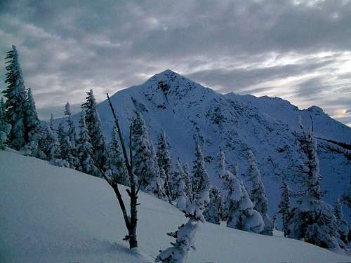
Middle Chiwaukum from the trail
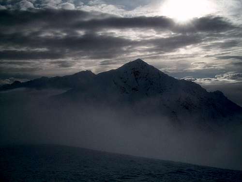
Middle Chiwaukum with the fog below
Looking for a good accessible winter summit that has enough elevation gain (5500') feet to get you ready for larger mountains yet doesn't have many of the obstacles that other mountains have in the region, this is your peak. Directions to this peak are actually very easy (right off of Route about 30 miles west of Leavenworth, Washington yet because this mountain is off trail and contains 5500' of elevation gain it doesn't get that much attention except for in the extreme hiking community.
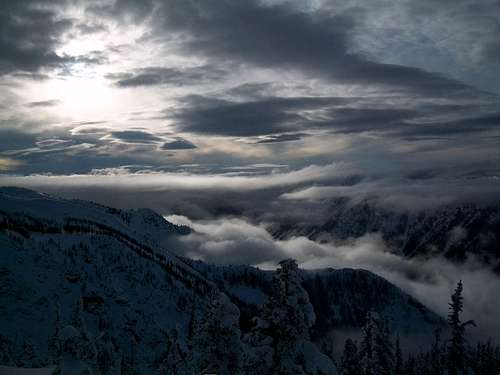
View from near North Chiwaukum
As for the route up which starts at the White pine Trailhead (snowpack 1.75 miles from the main trailhead in winter, it is a very steep climb up a forest. In winter this begins with the 1.75-mile road walk but in summer you can start on the main trailhead. Once past the trailhead the real fun begins. You climb at a pace of 2000 feet a mile up the ridge through a forest. The grade here can be relenting and snowshoes and crampons can both be very useful. The route continues until some minor openings come in on about 5000 feet. At around 6000 feet you come out on a ridge with terrific views off to the north. These views become better and better as you continue to climb up.
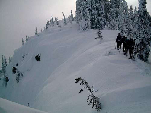
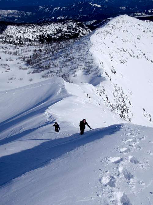
Going up the ridge
Our party's first a view of Middle Chiwaukum at 6700 feet, but in order to attain the ridge to get to the summit you must side traverse point 7130. If avalanche danger is moderate summit North Chiwaukum and then head down to the wide ridge where you traverse the wide ridge to Middle Chiwaukum. Once beyond the ridge there a small crux move over a snowcovered boulder that is easier to do in winter that in summer. Stay 10-20 to the left of the large cornices (winter) and head directly to the summit. There is some exposure but you will be safe here provided with an ice axe, snowshoes and crampons. This is primarily a winter climb though some have done it in the summer and it no greater than YDS Class 2-3.
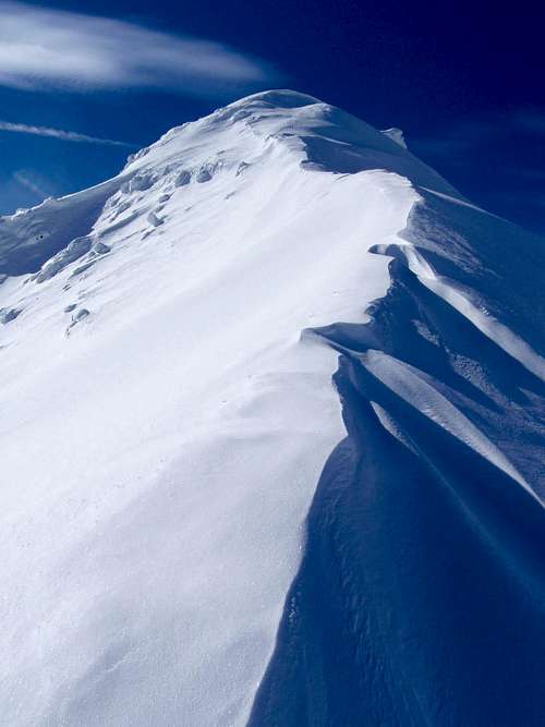
Final ridge climb
Looking toward the summit
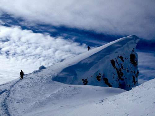
Getting very close to the summit
View on the summit are quiet legendary with Glacier Peak, Big Chiwaukum and Mount Rainier and tons of other great peaks in the region. In fact good pictures can also be from it's sub-summit as well. If going in winter plan on any early start AND bring a lot of people to help break the trail though only 11 miles, 5500 feet of elevation gain and 3-4000 feet of breaking trail to the summit can be very tiring.
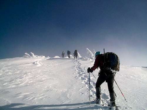
Heading Up Middle Chiwaukum
Map of the Winter Route
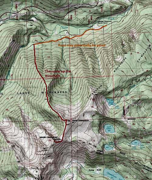
The winter route to Middle Chiwaukum
Getting There
VIA ROUTE 2: You want to a look for a south exit listing the WhitePine roughly 30 miles from Leavenworth and 25 from Stevens Pass. Take the road all the way to the trailhead. You will be going underneath a bridge along the way. In summer the true trailhead requires a Northwest Forest Pass.Red Tape
Northwest Forest Pass is require at the main trailhead in summer.Camping
Camping is legal. Keep in mind though that there not any good spot for camping on the way up until you reach the ridge where it flattens out that is 4000+ of elevation gain.External Links
Trip report on NWHikers on 1/31/09Trip report on NWHikers on 2/28/09