
-
 3472 Hits
-
 70.83% Score
-
 1 Votes
|
|
Route |
|---|---|
|
|
46.81000°N / 12.25000°E |
|
|
Hike |
|
|
Half a day |
|
|
Walk-Up |
|
|
Approach
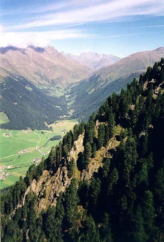
See the main page for the Getting There Info. Start the ascent from the village of St. Martin in Gsies (San Martino in Casies).Route Description
- Start altitude: 1176m
- Summit altitude: 2469mm
- Prevailing exposition: W
- Type: 1h over forest roads, 2h over paths
- Protection: marked
From the church of St. Martin follow a side road eastward towards Tolder Alm. The trail is markes (no 44) and in the end leads to Gruberlenke, one of the passes which lead across the Riepenspitze Group Ridge into Villgraten Valley. After some serpentines the road straightens and climbs steadily towards the Alm, which is located at an elevation of 1862m.
Here a trail (no 48) turns off towards the north-west and climbs steeply towards the connecting ridge between Riscjterpfarrer and Hochstein. After a very steep section on top of this ascent you reach the ridge and can visit the Rischterparrer Summit to the west. The going is quite exposed here.
Turning back towards Hochstein, follow the ridge and scramble to the top. This part of the ascent is steep, but rather easy.