Intro/Stats
Pikes Peak (14115')
Via Rumdoodle Ridge/NW Ridge Direct
October 9, 2010
11.7 miles, 7560' gain one way
Slideshow
I have a project on Pikes that is drawing to a close as I'm hoping to climb it in every month via as many routes I can think of. I somehow missed getting up it in Sept despite being unemployed and at the last minute decided to hit it on a nice early fall Saturday before the rotten early season snow starts piling up. Which route should I take? A repeat of the Crags doesn't sound fun. Better save that for Dec. Rumdoodle Ridge has been calling every time I see it when doing the Y couloir, but it's a LONG approach. Maybe I can dayhike it and save the knees by catching the train down to Mountain View!
Barr to Bottomless Pit to Rumdoodle
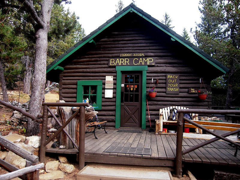
My house is only about 15 minutes from Barr trailhead and I have little motivation to start real early after having been stalked by a mountain lion in the dark last weekend. The hustle and bustle of the Barr TH is impressive even at 6:15am as many hearty souls have already made their way up the incline! I am lucky to find a parking spot even at this early hour. No need to worry about being alone in the dark and after a few switchbacks it's light enough to shut off the headlamp. A few runners pass by on their way down from the incline, but once past the incline cutoff, I only see a few people heading down after presumably breakfast at Barr Camp. I resist the urge to push myself as it's a long way to the top and make it to Barr in a pedestrian 2:45.
Barr is not as busy in the fall with only 5 overnighters on a Fri nite:
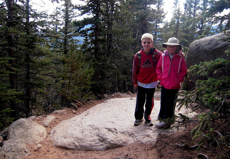
I took a 20 minute break on the plush couch chatting with the fill in caretaker as Neil and Teresa were gone this weekend. The next stretch of the hike continues to follow Barr Trail for another mile until the prominent switchback with the big yellow sign for the Bottomless Pit. I pass a dad with his young son and daughter and I'm impressed that they have made it this far! They are shooting for the summit today from the trailhead, which is ~13 miles and 7500 feet gain. I offer them encouragement and tell them I'll get their autographs on the summit. Too bad I didn't have a pen, because they made it! The boy was 10 and the girl was 8!
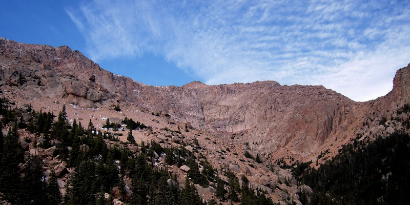
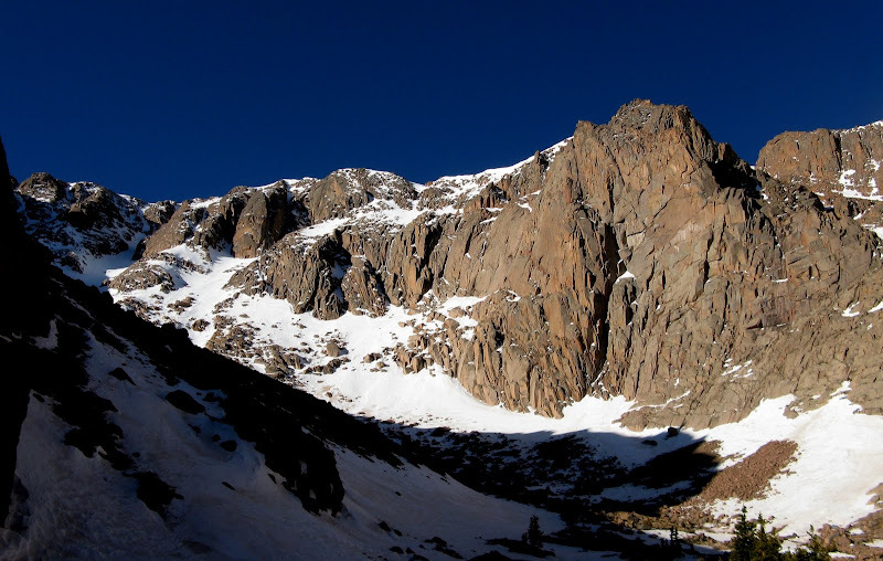
I set off on the Bottomless Pit trail, the first time I have seen it dry. I'm usually side hilling miserably with snowshoes as this is also the trail used to get over to the Y couloir. It's a lot easier to follow with no snow as it wraps around to the north side of Pikes on a gentle, ascending traverse. The ridge comes into view as I approach the familiar confines of the Bottomless Pit.
Rumdoodle Ridge towers above:
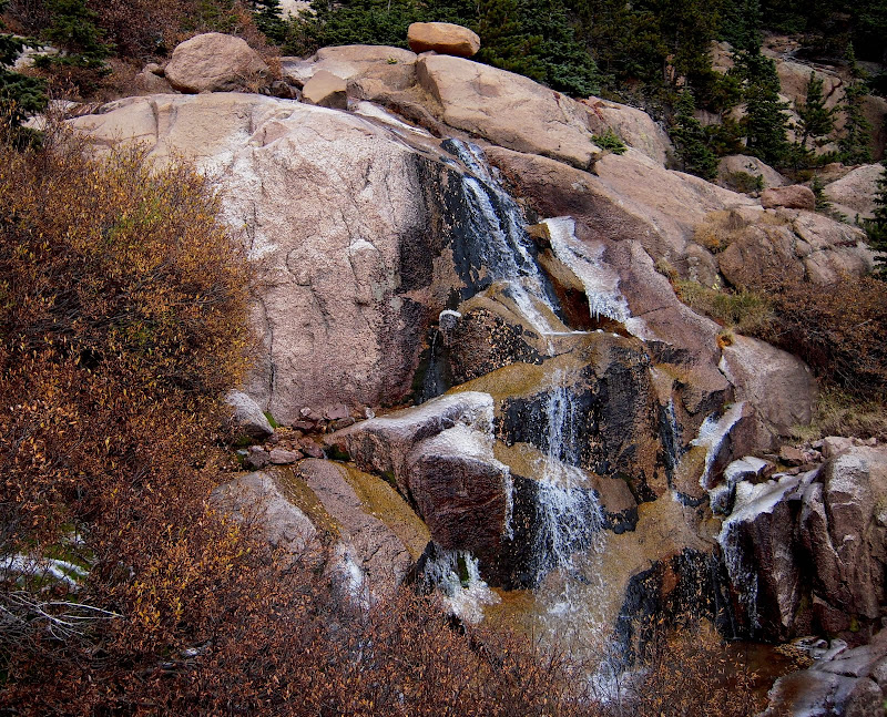
The trail stays above the basin floor and becomes faint near about 11500' as it weaves up some slabs that are starting to ice up. I pass by the familiar little waterfall that is usually just beginning to melt out on my spring visits.
I'm surprised that the Y is still holding some old snow from last year. Here's the difference between last spring and now.
Spring view:
Fall view:
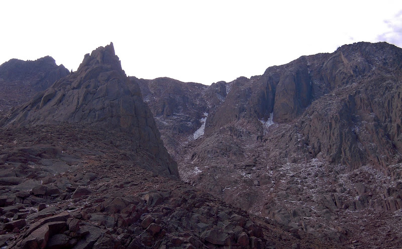
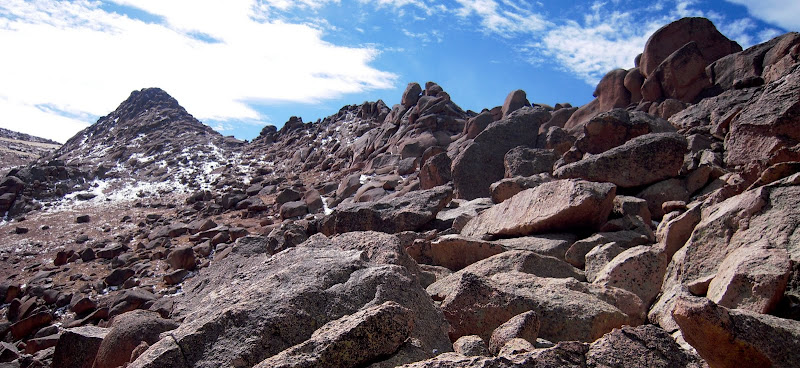
To exit Bottomless Pit, it's a short, loose scree slog to a flat spot at 12K'. It's an exercise in one step forward, two steps back for a bit until I find more solid stuff with some scrambling on the right side. I take a break at the base of the ridge for the push up the ridge. The ridge is actually easier than expected and doesn't exceed class 3 with harder options here and there if you so choose.
The start of Rumdoodle Ridge:
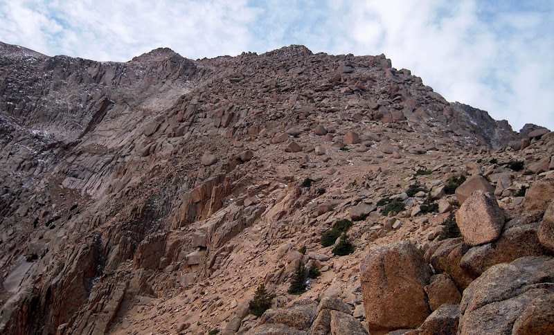
This seldom climbed ridge is usually descended from the toll road for a short approach for the Y. Difficulties lurk if you drop off the ridge too early. The routefinding is easy going up, weaving around or over huge blocks that are very solid and fun to scramble on. The exposure is minimal with a few airy spots here and there. I stay at or near the crest of the ridge.
A nice view to the north along the ridgecrest:
The ridge goes pretty quick and I decide to summit a nice little summit that I dub "East Little Pikes." There's still about 1K' vertical to the summit at this point, but I get a nice reprieve from the steepness for a bit as I follow the Crags route until it hits the crest of the northwest ridge.
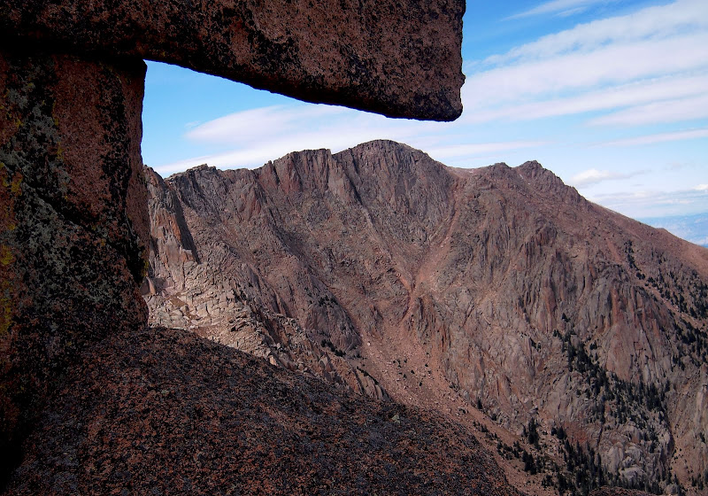
East Little Pikes looking for someone to climb it:
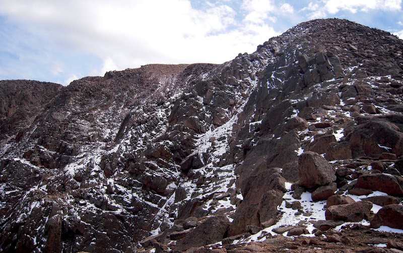
Looking across the north face:
I hit the summit boulders in the middle of the parking lot at 1:45, good for a 7.5 hour ascent. As expected, Rumdoodle is a lot longer than taking Barr all the way up even though it's a bit shorter in distance, but I thought it was an enjoyable route that avoids the crowds and lets you experience the rugged side of Pikes from a lofty perch. I end up eating lunch with the kids and dad I met on the trail and we catch a ride down the toll road with some nice folks as all of the trains were full. Otherwise, I would have had to wait until the last train left to make my secret descent! My knees were thanking me! 10 months down, 2 to go!
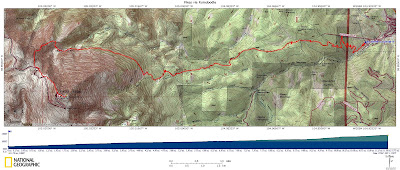
GPS track:
Comments
No comments posted yet.