
|
|
Area/Range |
|---|---|
|
|
47.56180°N / 14.63313°E |
|
|
Hiking, Mountaineering, Trad Climbing, Sport Climbing, Ice Climbing, Scrambling, Canyoneering, Skiing |
|
|
Spring, Summer, Fall, Winter |
|
|
7772 ft / 2369 m |
|
|
The Ennstaler Alpen Page has been deleted by its former owner/maintainer (quite some time ago! )
I reopen the Ennstaler Alpen page, to complete all the ranges of the Eastern Part of the Alps
Send me an email or PM if you find errors, attach images, further information etc. to improve the page.
It will take quite some time to achieve the level of the old page (pls. be patient)
Overview & Subranges
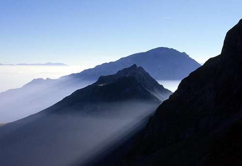
Ennstaler Alpen (Ennstaler Alps) is a range in the Northern Limestone Alps (and Greywacke Zone) - located mainly in Styria and in Upper Austria (part of Haller Mauern)
Gesäuse
Strictly only the approx. 16 km water gap of the river Enns between Admont and Hieflau is called Gesäuse.
Nationalpark Gesäuse with an area of approx 110km2 was founded in 2002.
Gesäuse is a well known for its long and usually demanding climbing routes and skitours in spring.
The Highest Mountain ist Hochtor (2.369m)
I plan to to create an Gesäuse Page
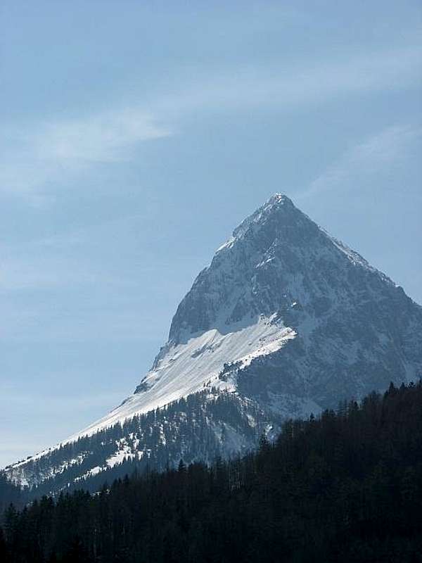
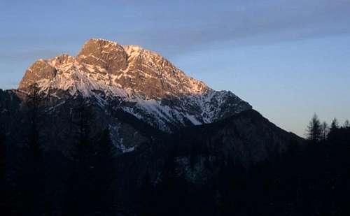 Großer Buchstein Großer Buchstein |
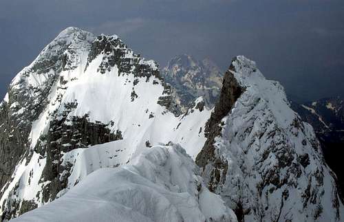
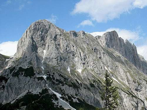 Admonter Kalbling + Sparafeld (Gesäuse) Admonter Kalbling + Sparafeld (Gesäuse) |
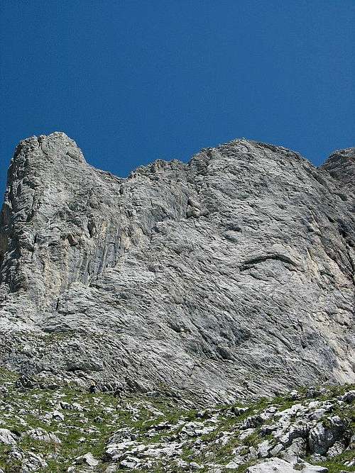 Sparafeld - Route Diagonale |
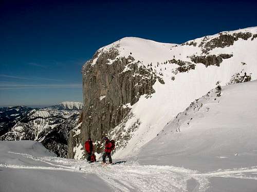
 Festkogel - Gesäuse |
 Großer Ödstein Großer Ödstein |
 Lugauer from NE Lugauer from NE |
Haller Mauern
The subrange of Haller Mauern is located in the northwestern part of the Ennstaler Alps. Haller Mauern are an independent mountain range - but is often covered together with the Gesäuse (i.g. in climbing literture). The western main ridge of Haller Mauern (Großer Pyhrgas - Scheiblingstein - Kreuzmauer) is the border between Upper Austria and Styria.
The highest mountain of Haller Mauern is Großer Pyhrgas (2.244m)
sorry no pictures (yet)
Eisenerzer Alpen
Eisenerzer Alpen is the most southern (sub)range of Ennstaler Alpen and borders directly on the Gesäuse range. Eisenerzer Alpen starts at Selzthal (near Liezen) and leads south of the Gesäuse range eastwards to mountain pass Präbichl.
As an essential geologic difference the Eisenerzer Alpen range is part of the greywacke zone (while Gesäuse/Haller Mauern is part of the Northern Limestone Alps).
Quite a lot of mountains in the Eisenerzer Alpen range offer very nice Skitours (e.g. Lahngangkogel near Oberst Klinke Hütte, Blaseneck and Leobner near Johnsbach, Zeiritzkampel near Radmer or Wildfeld and Stadelstein etc.) in winter and spring.
In sommer and fall hikers will find nice walks (e.g the long and demanding Eisenerzer-Alpen-Höhenweg between the summit of Reichenstein (Reichensteiner Hütte) and Mödlinger Hütte (approx. 12- 14 hours).
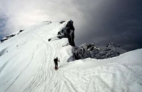
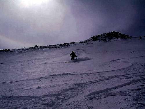
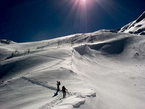 Kaiserwart - Skitour |
 Kaiserwart - Skitour |
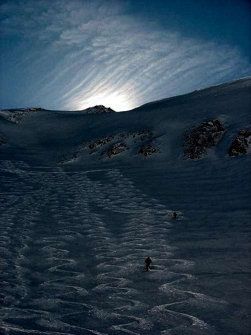 Kaiserwart - Skitour Kaiserwart - Skitour |
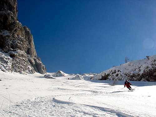 Skiing down from Kaiserwart |
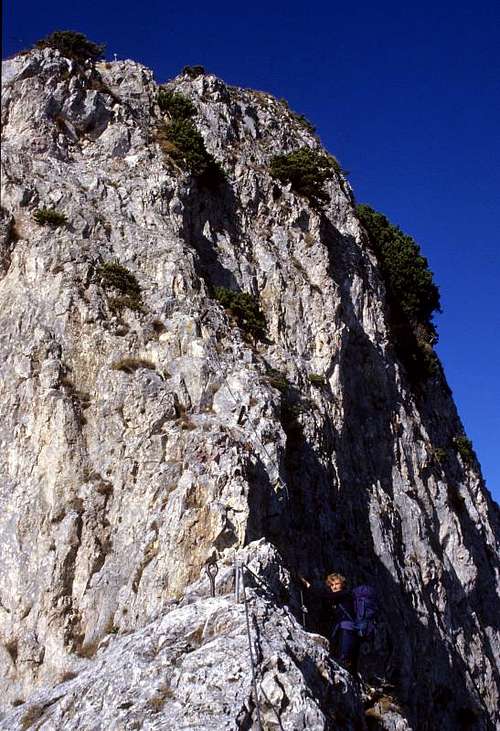 Grete Klinger Steig |
 Eisenerzer Reichenstein |
 Reichensteiner Hütte |
 Leobner |
Borders, nearby Ranges
The Eastern Border of Ennstaler Alpen Range is the river Enns (from the River Laussa) up to Hieflau - Eisenerz - Präbichl following the Vordernberger Bach until Leoben (eastward is the Hochschwab Massif)
The Southern, Southwest Border and West Border is the river Mur (until St. Michael) and the Liesing/Paltental (next to the Niedere Tauern Range) to the river Enns - continuing to Liezen via the Pyhrnpass to Windischgarsten.
The Northern Border is from Windischgarsten following the Dambach to Hengstpass down the river Laussa to the river Enns. - the neighbor ranges are (from Northwest to Northeast): Totes Gebirge Massif, Oberösterreichische Voralpen, Ybbstaler Alpen)
Getting There
The most important towns of the Ennstaler Alpen range are Windischgarsten (Upper Austria) and in Styria Liezen, Admont and Leoben. These towns can be reached with the Austrian Railway.
A Highway follows the Liesing/Paltental
Red Tape
National Park Gesäuse
Places to Stay, Camping
Several B+Bs and Hotels in small towns -
e.g. in Johnsbach (Gesäuse)
- Kölblwirt
- Gasthof Ödsteinblick
- Gasthof Donner
- in Gstatterboden is also a Campsite
Alpine Huts
- Ennstaler Hütte (Gesäuse)
- Gofer Hütte (Gesäuse)
- Haindlkarhütte (Gesäuse)
- Hesshütte (Gesäuse)
- Mödlinger Hütte (Gesäuse)
- Oberst Klinke Hütte (Gesäuse)
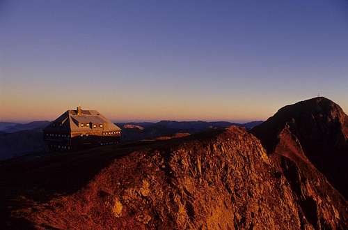
 Hesshütte (Gesäuse) Hesshütte (Gesäuse) |
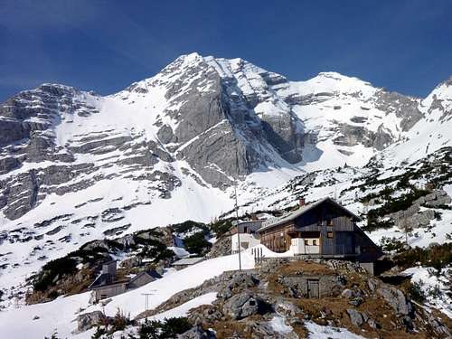
 Mödlinger Hütte Mödlinger Hütte |
- Admonter Haus (Haller Mauern)
- Bosruckhütte (Haller Mauern)
- Reichensteinhütte (Eisenerzer Alpen)
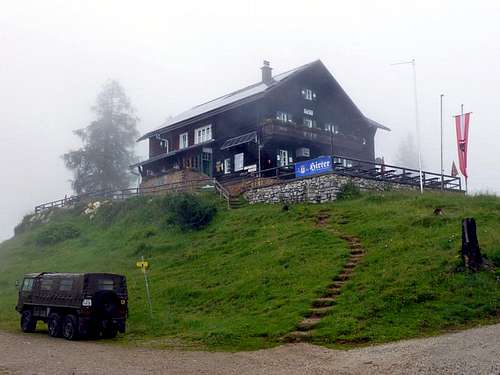
Reichensteiner Hütte
Other Things to do, to see in the region
Mountaineers’ cemetery at Johnsbach
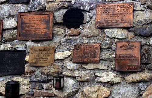 Mountaineers’ cemetery at Johnsbach Mountaineers’ cemetery at Johnsbach |
Admont Abbey
sorry no picture yet
Erzberg mine
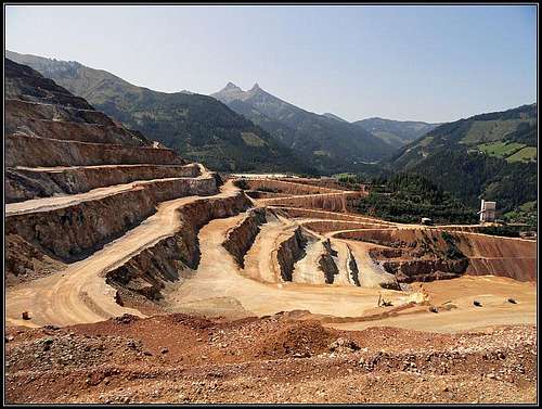
Erzberg mine
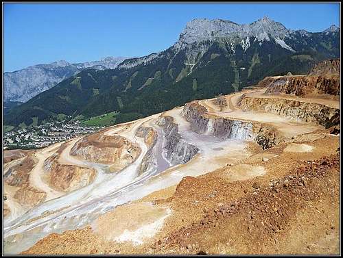
Erzberg mine
Links, Books and Maps, Webcams
- www.bergsteigen.at - a lot of climbing, viae ferratae, skitouring information (only in German)
- avalanche bulletins - www.lawine-steiermark.at (in German only)
- Bergsteigerdorf Johnsbach
- GENUSS-KLETTERATLAS Österreich Ost Band 2 STEIERMARK
- Gesäuseberge (Ennstaler Alpen) by Willi End - ISBN 3-7633-1248-X (out of print)