
-
 10886 Hits
-
 72.08% Score
-
 2 Votes
|
|
Area/Range |
|---|---|
|
|
46.85224°N / 121.76042°W |
|
|
Hiking, Mountaineering, Trad Climbing, Bouldering, Ice Climbing, Mixed, Scrambling, Skiing |
|
|
Spring, Summer, Fall, Winter |
|
|
Overview
The crown jewel of Mount Rainier National Park, and of Washington state for that matter, is of course is Mount Rainier. There are, however, many more peaks that are great to hike and climb surrounding this magnificent volcano. The purpose of this page is to provide a comprehensive list of these peaks, links to their Summitpost pages, and provide links and a summary of general information about Mount Rainier National Park.
Mount Rainier National Park was created on March 2, 1899. In 2012, over 555,000 vehicles and 1.5 million people visited the Park.
The elevations above sea level in Mount Rainier National Park vary from 1,600+ feet where the Ohanapecosh River leaves the Park near the Southeast Entrance to the summit of Mount Rainier at 14,411 feet.
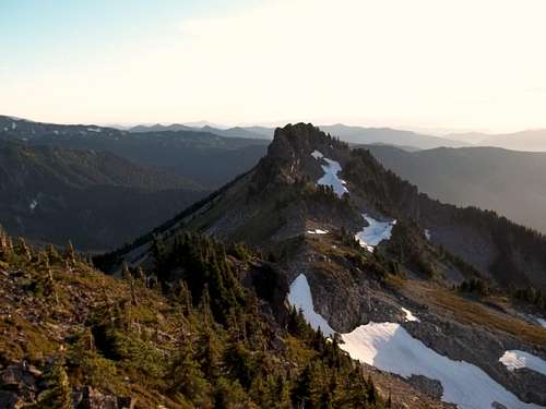
I created this page when I was updating my Summitpost Climber's Log and noticed that there was no parent area/range for Seymour Peak (located south of Chinook Pass) to be attached too. I couldn't believe this considering all but a couple of my other peaks I have submitted logs for have a parent.
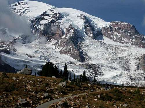
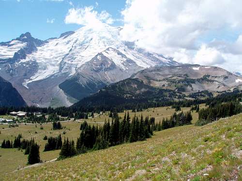
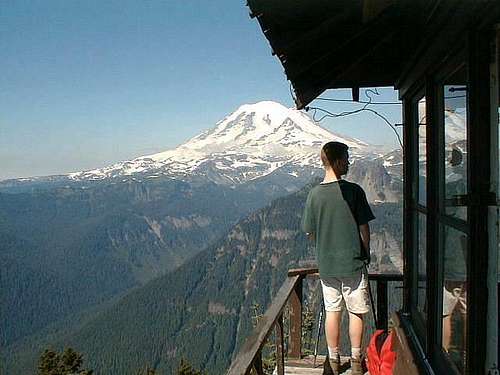
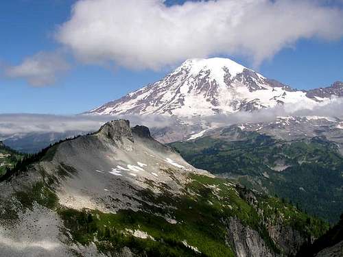
Mount Rainier from above Paradise (N.P. Service Photo)
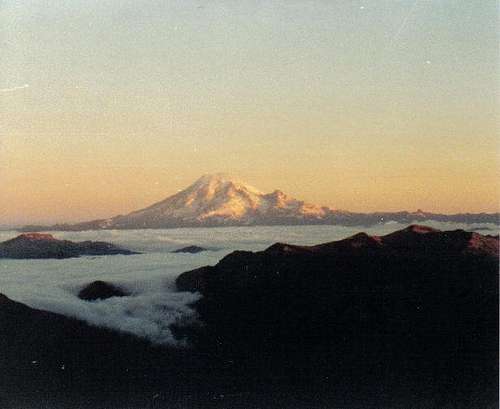
Mount Rainier from Bear Creek Mountain at Sunrise
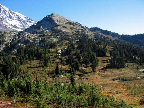
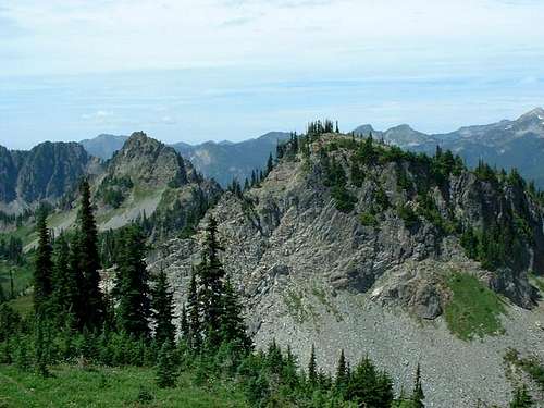
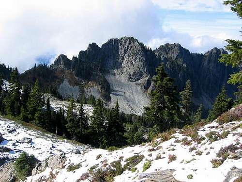
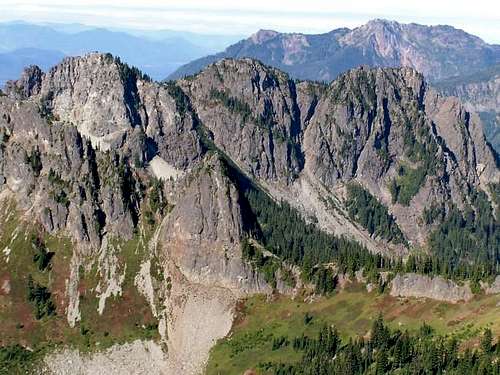
The Peaks
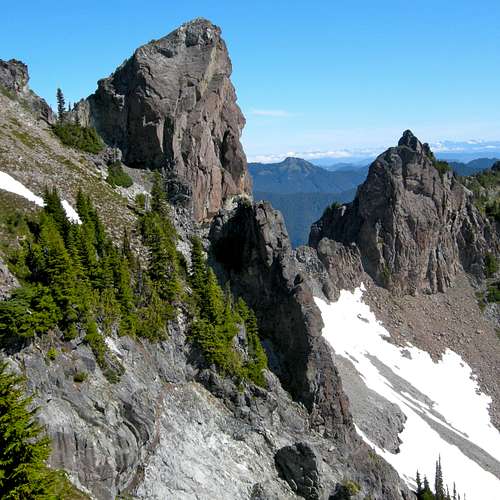
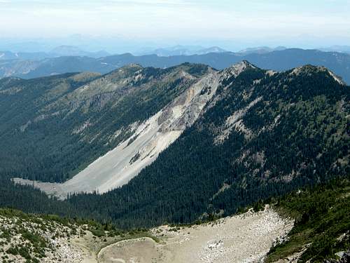
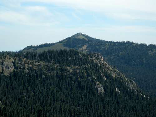
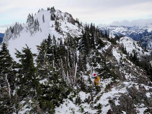
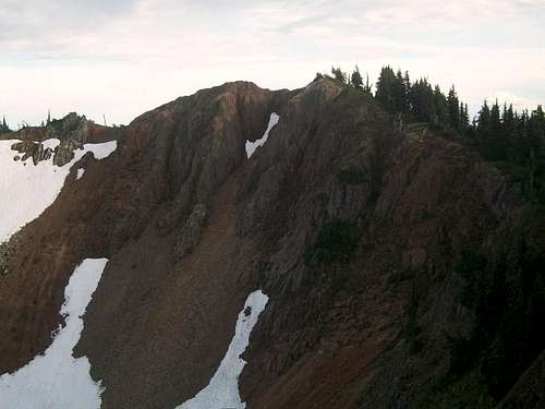
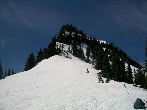
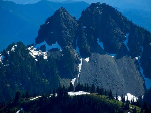
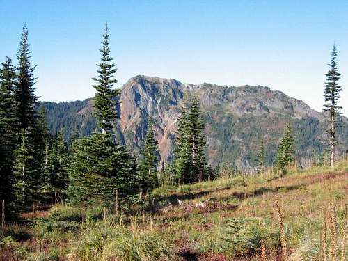
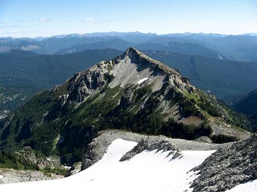
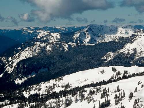
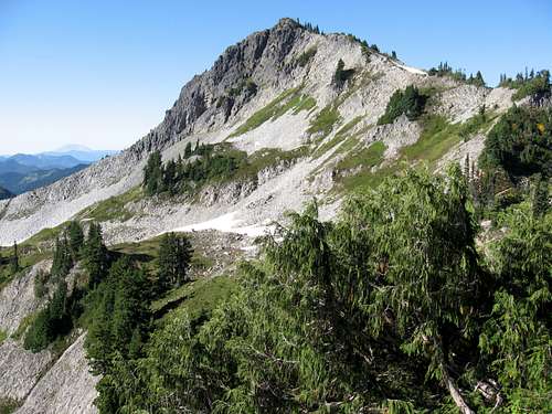
There are 98 mountains, peak, points, rocks, etc. officially named on USGS quad maps for Mount Rainier National Peak. If I have missed a few which is easy to do in such a big area, please let me know. There are others with unofficial names not named on the maps. These are within quotation marks if I have included them. I omitted ridges and some crests from this list as I tend to like to stick to defined points of some sort.
I have split the list of summits in the Park into regions to help give some reference as to where they are located:
Rainier Proper Region
Northwest Region Sunrise RegionPoints on Mount Rainier itself above 7000 feet.
Southwest Region Eastside Region- North of the South Puyallup River (flows north) - East of the West Fork White River- West of the West Fork White River - North of Fryingplan Creek and the White River
- South of of the South Puyallup River - South of Fryingpan Creek and White River
- North and west of the Nisqually River - East of the Muddy Fork Cowlitz River
Paradise Region
- East of the Nisqually River
- North of Paradise Creek and then the Stevens Canyon Road
- West of the Muddy Fork Cowlitz River- South of Paradise Creek and then the Stevens Canyon Road
Tatoosh Range- East of the Nisqually River
Rainier Proper Region
Name Elevation
(feet)
Name Elevation
(feet)
Mount Rainier
14411
Anvil Rock
8584
Point Success
14158
Observation Rock
8364Liberty Cap 14112 Echo Rock 7870 Gibraltar Rock 12660 Tokaloo Rock 7684 Saint Andrews Rock 11400+ Cowlitz Rocks 7450
Little Tahoma Peak
11138
Tokaloo Spire
7420+
"Muir Peak"
10188
Needle Rock
7400+Steamboat Prow 9660+ McClure Rock 7385 K Spire 8886
Meany Crest
7200+Mount Ruth 8690

Name Elevation
(feet)Name Elevation
(feet)
Northwest Region Sunrise Region
Old Desolate
7137
Borroughs Mountain
7828
Sluiskin Mountain
7026
Mount Fremont
7317
Tillicum Point
6782
Goat Island Mountain
7288
Andrew
6716
Skyscraper Mountain
7078
Crescent Mountain
6715
Antler Peak
7017
Mineral Mountain
650
Dege Peak
7006
Fay Peak
6492
Marcus Peak
6962
Mount Pleasant
6454
McNeeley Peak
6786
Hessong Rock
6385
Baker Point
6400+
Mother Mountain
6375
Slide Mountain
6339
Pacific Point
6240+
Brown Peak
6332Castle Peak 6110 Sunrise Point 6120+ Aurora Peak 6094 Scarface 6108 Tyee Peak 6000+
Tolmie Peak
5920+
Eastside RegionNorthern Crags 5780 Cowlitz Chimneys 7605
Wallace Peak
5760+
Tamanos Mountain
6790
Sunset
5713
Barrier Peak
6521
Howard Peak
5683
Naches Peak
6452
Recstone Peak
5680+
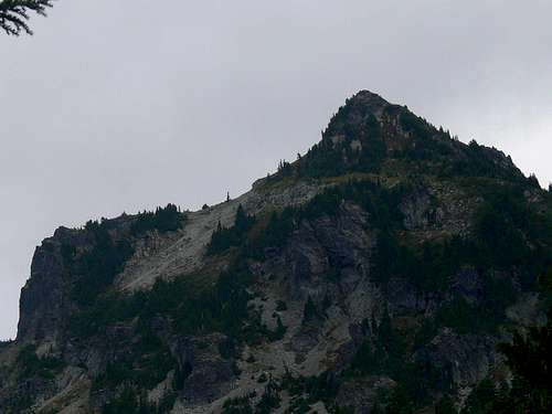
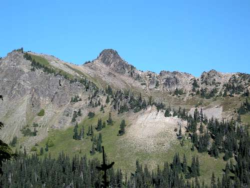
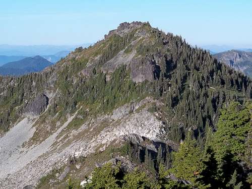
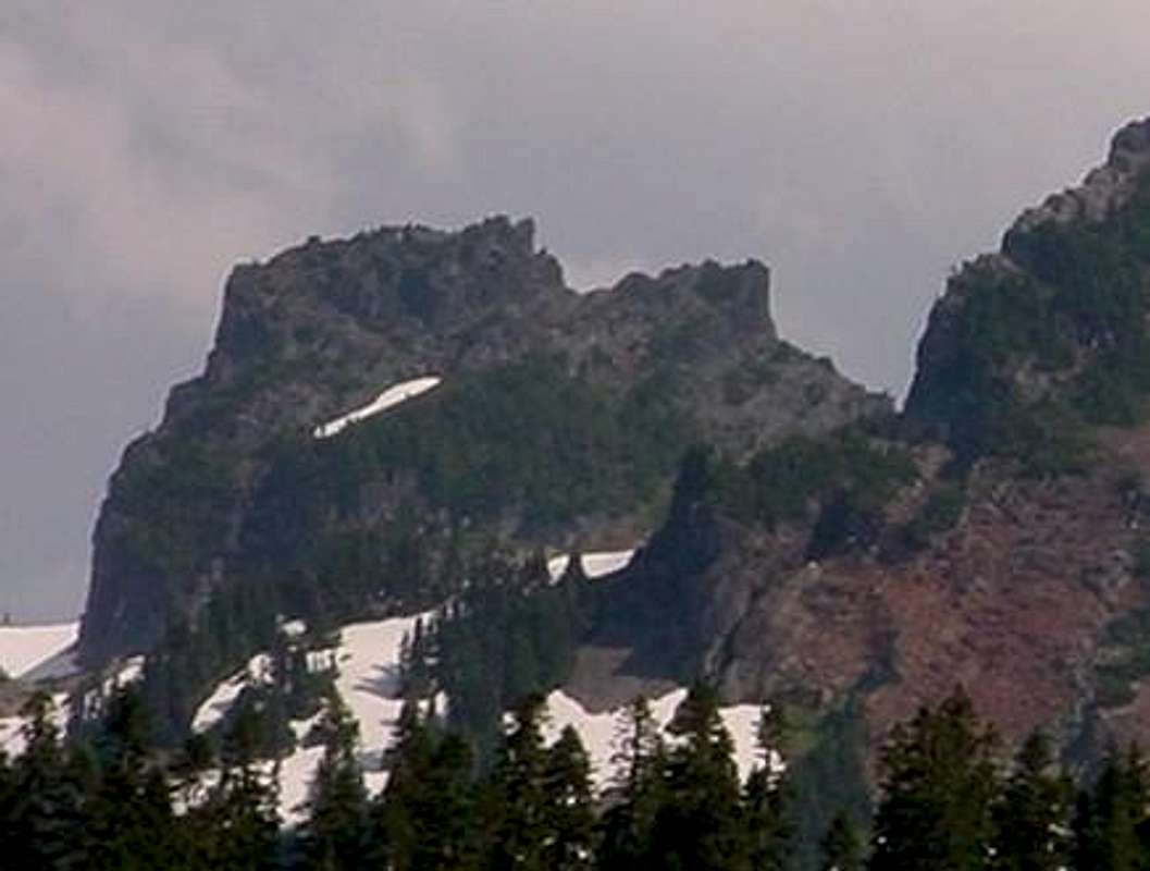
Seymour Peak
6337
Sweet Peak
5560+
Yakima Peak
6226
Florence Peak
5508
Double Peak
6199Authur Peak 5465
Shriner Peak
5834Gove Peak 5310 Buell Peak 5756 Tirzah Peak 5208 Bald Rock 5409 Goat Island Rock 5200+
Berry Peak
5120+
Paradise RegionDivision Peak 4927 Panorama Point 6920+
Virginia Peak
4880+
Glacier Vista
6336Paul Peak 4800+ Alta Vista 5960+ August Peak 4680+ Inspiration Point 4844 Pigeon Peak 4480+ Ricksecker Point 4200+
Southwest Region
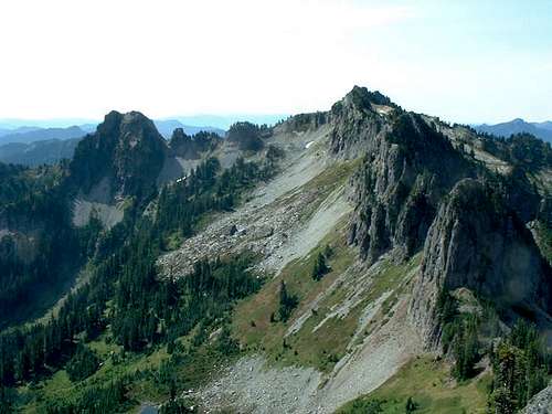
Tatoosh Range
Pyramid Peak
6937
Unicorn Peak
6971Iron Mountain 6283
Boundary Peak
6960+Copper Mountain 6280+
Pinnacle Peak
6562
"Foss Peak"
6524
Mount Wow
6040+
Stevens Peak
6520+
Mount Ararat
6010
Plummer Peak
6370Mildred Point 5935
The Castle
6240+Satulick Mountain 5577
Wahpenayo Peak
6231
Gobblers Knob 5485
Lane Peak
6012Tumtum Peak 4678
Denman Peak
6006
Chutla Peak
6000+
Eagle Peak
5958
Getting There
The National Park Service Directions website describes the Park entrances and how to reach them. A brief summary is provided below:![Rainier Entrance Map]()
Rainier Entrance and Vicinity Map National Park Service Map
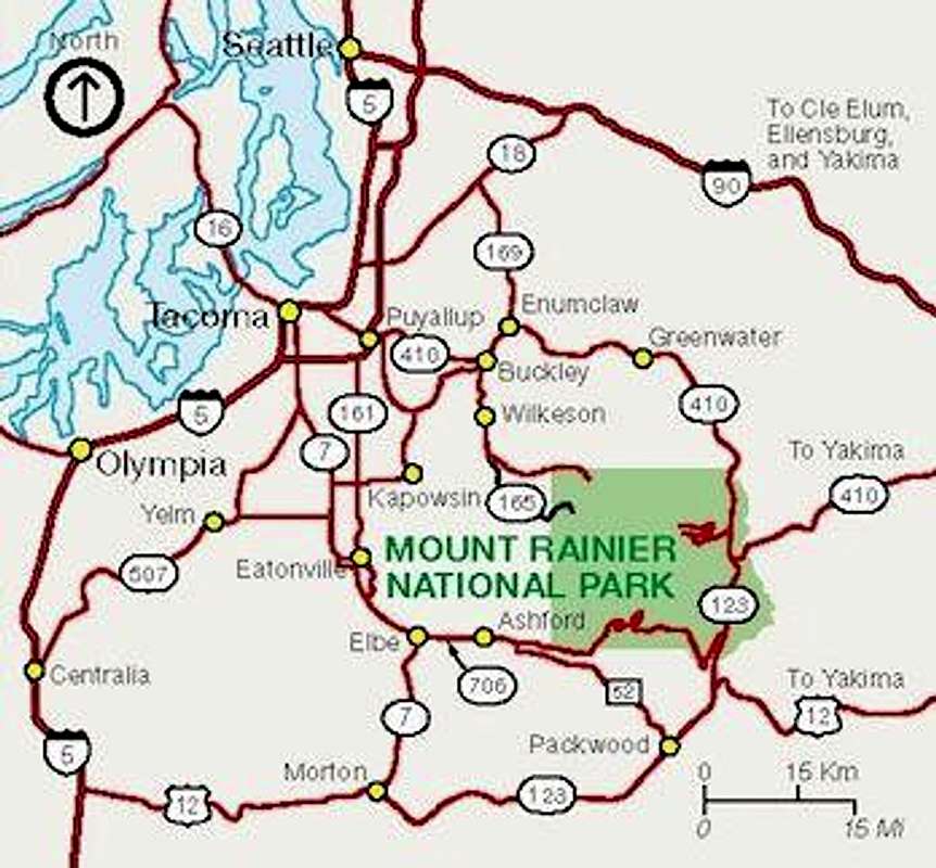
Rainier Entrance and Vicinity Map National Park Service Map
Six official entrances to the Park:
- Southwest Entrance near Ashford
- Open year-round via SR-706
- Northwest Entrances
- Carbon River
- Open year-round via SR-165 through Wilkeson
- Mowich Lake
- Opens in summer and closes by mid-October or first snowfall
- East Entrance (Chinook Pass)
- Open Memorial Day Weekend through late Fall (or as conditions permit) via SR-410
- Northeast
- Open by July 1 through early September or as conditions permit via SR-410
- Southeast
- Open Spring through Fall via SR-123
Red Tape
This is a very popular national park, so expect fees and rules. Not as bad as the Canadian National Parks though.
Fee and Reservation Highlights
As of June 2014
- Entrance Fee for a private, non-commercial vehicle: $15
- Senior and military discounts available
- Mount Rainier Annual Pass: $30
- Private, non-commercial vehicles
- Climbing Pass: $45 per person (25 years or older)
$31 per person (21 year or younger)
- Required to climb above 10,000 feet or onto any glaciers.
- Wilderness Permit: Free
- Wilderness Permit: Free (first-come-first-served - 30% of permits)
- Wilderness Permit: Free (first-come-first-served - 30% of permits)
$20 (reservation for group - 70% of permits)
- Required for overnight backcountry trips.- Not required for day hiking.
- Obtain permits are ranger stations.
- The National Park Service recommends making reservations for backcountry camping.
- The Park starts accepting reservations by fax and mail on March 15th each year.- Reservation can also be made in-person at the Longmire Wilderness Information Center which opens to the public in late May)
- Reservations for popular campsites along the Wonderland Trail fill up fast.
- It is often not possible after late spring to reserve necessary campsites to complete the entire 90-mile loop for the early July to end of September time period.
- Required for overnight backcountry trips, not required for day hiking.
- Many things (e.g. fires, pets, bicycles) are prohibited.- Follow Leave No Trace principles
Camping
Four campgrounds are located within Mount Rainier National Park:![Paradise Glacier Moraine Winter Camp]()
Paradise Glacier Moraine Winter Campsite at sunrise - Feb. 2005

Paradise Glacier Moraine Winter Campsite at sunrise - Feb. 2005
- Cougar Rock
- Ohanapecosh
- White River
- Mowich Lake
U.S. Forest Service Campgrounds are also available outside of Mount Rainier National Park
- Snoqualmie Ranger District (Mather Memorial Parkway [SR-410] campgrounds only)
Designated backcountry camping areas (41 total) are located along trails throughout the Park.
- A Wilderness Permit is required for overnight camping and reservations ($20 fee) is recommended in many areas.- U.S. Park Service Map of backcountry campsites.- Backcountry off trail zone camping is also available.
Private camping and lodging outside the Park: