
|
|
Mountain/Rock |
|---|---|
|
|
46.92542°N / 121.67303°W |
|
|
Pierce |
|
|
Hiking |
|
|
7317 ft / 2230 m |
|
|
Overview
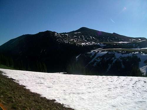
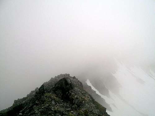
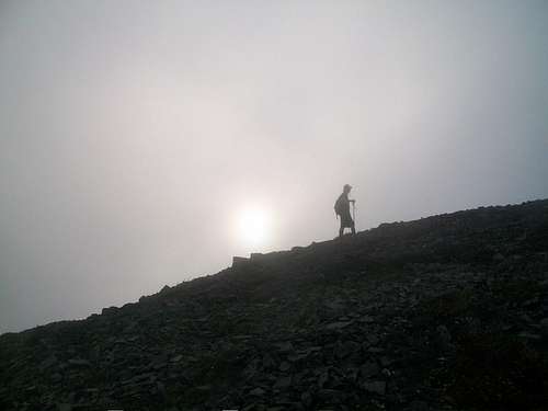
Mount Fremont located in Mount Rainier is a famous peak in the Sunrise area of Mount Rainier National Park. It contains the famous Mount Fremont Lookout. Going off trail to the higher summits is very discouraged due to the extremely fragile vegetation. If you do go off trail please be very mindful of that and try to minimize the damage offtrail. Please try to leave no trace.
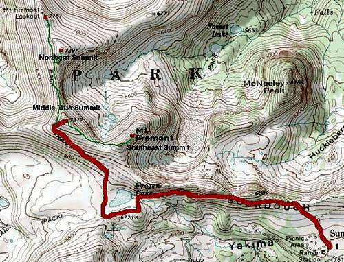
The Middle Summit: The True Summit
The middle peak is officially the true the summit but you would never realize this because there is no summit cairn on the top of the peak and it isn't even labeled on the map as the true summit. But at 7317 feet it officially is the true summit. Views from this summit are excellent and to reach the summit only requires a 250 foot off-trail bushwhack from the Mount Fremont trail. As for a distance and elevation gain this peak is roughly 4.5 miles and little under 1000 feet of elevation gain. Park rangers would like you to be discrete when traveling to the summit of this peak for fear of overcrowding of the summit.
The Mislabeled Southeast Summit: The True Scramble
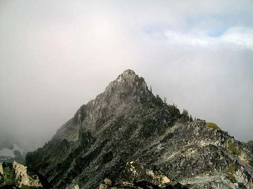
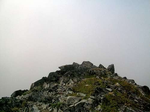
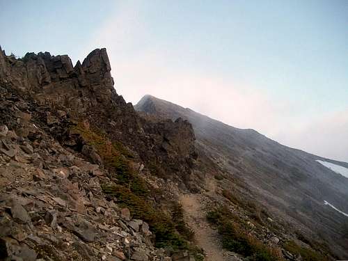
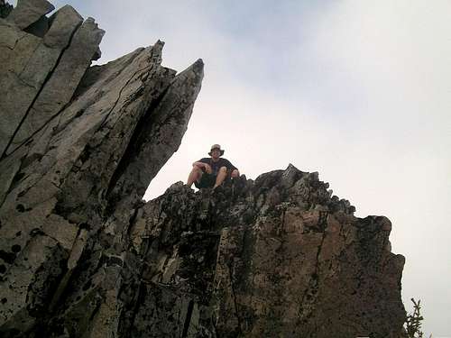
Starting from the south is the roughest and toughest of the summit. Combined with the Middle (True) summit it is almost six miles 1200 feet of elevation gain. It is not the highest peak on the ridge and though mislabeled on a map this can be clearly seen from the summit of it. To get to the most southwest of the summit you must spend the most time on the off-trail. The final steep rock is Class 3 moderately exposed scramble and contains lots of very loose rock. A helmet is HIGHLY recommended for this southeast mislabeled peak. Rockfall is active and very present on this peak so use caution when attempting. At 7240+ feet, this sub-peak features a lot of excellent and dynamic excellent views that you can't get from the Mount Fremont trail. If you have strong scrambling skills, this peak is a feast and very well worthwhile.
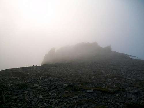
The Northern Cairned Summit
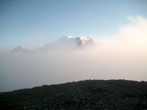
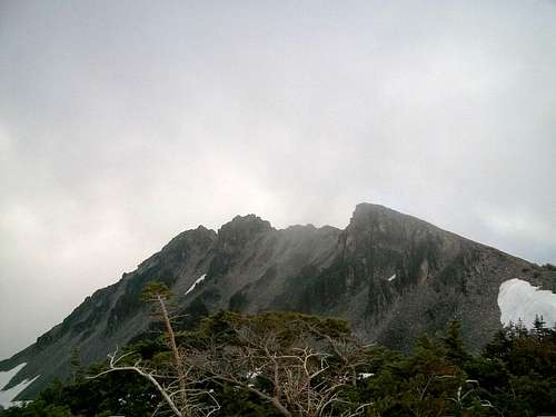
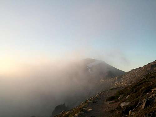
The northern peak listed at an elevation of 7287 feet is very broad and marked with cairns. It is roughly 5.25 miles and almost 1000 feet of elevation gain from Sunrise. Though not listed the true summit the board area is cairned and is marked like a summit. My suspicion is that those who do go for the true summit of Mount Fremont tend to go up this summit northern board summit. Like the other two summit excellent views can be seen from here. It should be noted though that the view from this summit is very unique like each of the other two summits.
Mount Fremont Lookout
Finally there is the Lookout which is built on the side of a smaller sub-peak. The Mount Fremont Lookout is 5.5 roundtrip and 800 feet of elevation gain. The sub-peak Point 7187 is a a little more protect from the wind and elements than the other three treeless summits and contains another great and unique view. Many tourist end up at this location due to its easy trail access so don't except to be the only person if you head to the lookout area.
Getting There
From Enumclaw: Take State Highway 410 roughly 40 miles southeast. Take a right on the White River entrance (toll). Stay on the road past the numorous curves in the road. You will then hit three hairpin turns. Head all the way to Sunrise Lodge.
Red Tape
Mount Rainier day pass ($15 as of 2011), annual pass ($30 as of 2011) or total park annual pass ($80).
Camping
Backcountry Permit Required for Camping while in Mount Rainier National Park. For more information please click here
External Links
Here is a list of sites to Mount Rainier National Park.
National Park Service website to Mount Rainier
Another site by National Park Service to Mount Rainier
Redwic - Oct 14, 2011 4:23 pm - Hasn't voted
Distance? Elevation Gain?Do you know what the hiking distance and elevation gain are from Sunrise to the true summit via the most standard route?
EastKing - Oct 14, 2011 9:34 pm - Hasn't voted
Re: Distance? Elevation Gain?If you are focusing solely on the Middle Summit which is the true summit you are looking at 4.5 roundtrip and slightly under 1000 of elevation gain. It is now on the page.
Redwic - Oct 15, 2011 11:06 pm - Hasn't voted
Re: Distance? Elevation Gain?Awesome! Thanks! This needs to be on my "to do" list.