Stats
Distance: 27 miles
Elevation Gain: 10100’
Time: 15:30
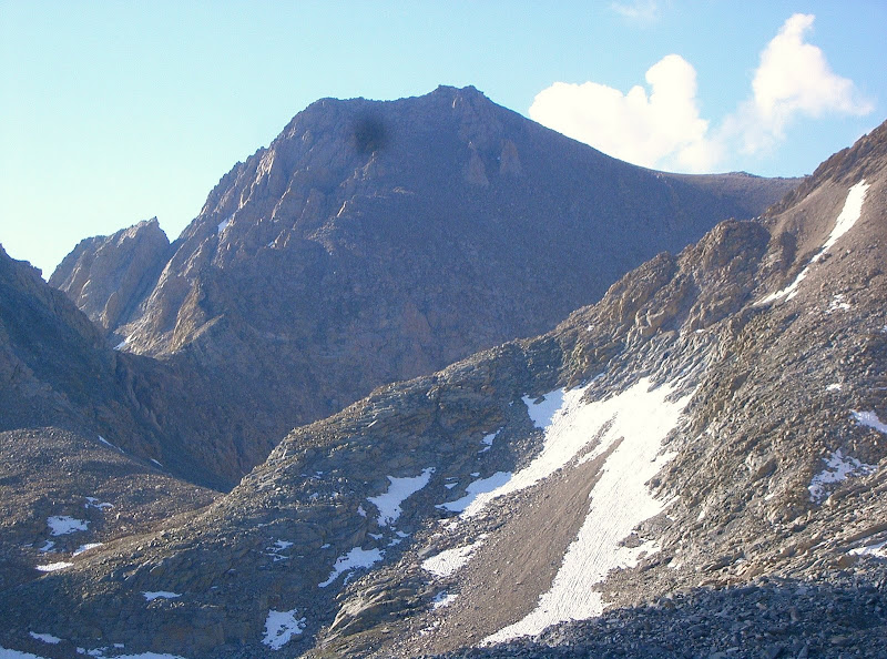
Trojan Peak
The easiest way to climb Trojan Peak is via George Creek. However, George Creek is only open from April 15th to May 15th and December 15th to January 1st since it lies in the
Bighorn Sheep Zoological Area. In fact, Trojan Peak is only legally accessible from December 15th through July 15th, regardless of route. I was hoping to link Trojan with my climb of nearby
Mount Barnard on July 12th, but an approaching thunderstorm convinced me to forego climbing Trojan Peak. Poor weather following my climb of Mount Barnard forced me to attempt Trojan Peak via Shepherd Pass on the last legally accessible date of the summer.
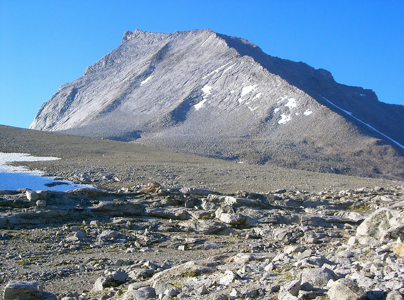
 Trojan Peak
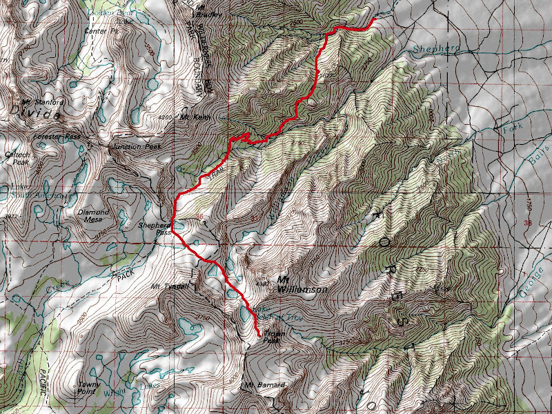
I camped at the Shepherd Pass Trailhead Monday night. At 3 am Tuesday morning, I began hiking up the Shepherd Pass Trail. This was the earliest start time for me this season because of the threat of afternoon thunderstorms. I was excited because the sky was clear and allowed me to believe that the weather may hold up. I finally reached Shepherd Pass where I saw only one tent. I left the trail and continued cross-country into Williamson Bowl. The views of Mount Tyndall, Mount Keith, Trojan Peak and Junction Peak were quite nice.
 Mount Tyndall
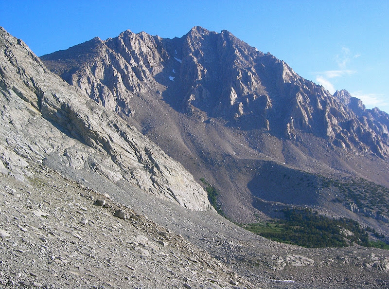
Soon after entering the bowl, low clouds started to move in from all directions. I continued on being confident that I was still early. I past Mount Williamson and continued up the north ridge of Trojan Peak. Gaining the ridge was probably the crux of the climb as the slope was steep and full of loose rock and sand. As I neared the ridge, the climb became more enjoyable because the terrain consisted more of stable boulders.
 Mount Keith
The new summit register even contained a Trojan brand condom! I headed down my ascent route during in and out white out conditions. Around 12:30 pm, I saw three climbers at the base of Mount Williamson’s standard west face route slowly making upward progress. Williamson Bowl and Mount Williamson’s west face route are also legally inaccessible after July 15th, so I understood their desire to reach the summit that day, but thought that they were foolish to be so late on the peak in such overtly poor weather conditions.
 Junction Peak
I continued across the rather disagreeable Williamson Bowl and stopped to filter water into my bladder. I finally made my way to Shepherd Pass where I saw many backpackers. I spoke to a couple and continued on my long trek back to the trailhead. Between Anvil Camp and Mahogany Flat, it began to rain. When an overhanging rock or large stand of trees presented itself, I took a break to escape from the rain. At one point, there was some hail. The rain ended when I was making my descent towards Symmes Creek, but got drenched when passing by the wet foliage.
 Map
Map
Comments
No comments posted yet.
