
-
 2277 Hits
-
 81.84% Score
-
 14 Votes
|
|
Route |
|---|---|
|
|
46.51160°N / 11.57600°E |
|
|
Download GPX » View Route on Map |
|
|
A long day |
|
|
Hike |
|
|
Overview
 Rosengarten seen above Tschafatschsattel Rosengarten seen above Tschafatschsattel |
Schlern / Sciliar easily is Südtirol's / Alto Adige's most popular mountain and is even considered the regional landmark. This might sound strange in a region, which covers half of the Dolomites, where there are so many higher and more impressive mountains. Still, the characteristic profile of the table-top Schlern / Sciliar with its northern towers Santnerspitze / Punta Santner and Euringerspitze / Punta Euringer is visible from almost anywhere and invites a huge number of visitors each year.
Schlern / Sciliar is easily accessible from Seiser Alm / Alpe di Siusi, which itself can be reached by cable-car but even if you hike the so-called Touristensteig (tourist trail) you will have to scale more than 1000m to reach the main summit Petz / Monte Pez. Aside from this heavily trafficked route several others head up to the mountain, mostly from the villages further down at its base: Seis / Siusi, Völs / Fie or Tiers / Tires. However, elevation gains easily exceed 1500m and a traverse via two routes can raise this gain to 1800m - 2000m.
Now, Schlern / Sciliar is a table-top mountain with near vertical walls to three sides so that any route must make use of weaknesses in the terrain. Names like Bärenfalle, Bärenloch or Teufelsschlucht (bear whole, bear trap, devil's gorge) indicate the nature of the routes - through steep gullies or gorges they negotiate the lower parts of the faces while narrow, exposed paths lead to the huge plateau on top.
 Burgstall and the ridge of Roßzähne
The route described here, starts at Völser Weiher, an artificial lake in the east of the mountain. It uses a dirt road up to Tuff-Alm and later traverses into Teufelschlucht, which it negotiates on its upper eastern slopes. Instead of walking the gorge to its end at Sesselschwaige you can leave it via the extremely steep, narrow and somewhat exposed Schäufelesteig, which heads up the south face of Schlern / Sciliar for almost 900m. Once on the plateau you can choose between several paths. I can recommend to head down the western branch of the plateau in the direction of Gabels-Mull, to get the best view on the aforementioned towers Santnerspitze / Punta Santner and Euringerspitze / Punta Euringer. Naturally, the trip is not complete without heading onto Petz / Monte Pez or Burgstall / Monte Castello.
Getting There
 Haflinger Horses near Völser Weiher
Schlern / Sciliar is very close to the Brenner Motorway A22 and depending on the place you want to use as headquarter (or from where you arrive) you turn of either at the exit Waidbruck /Ponte Gardena to the north or at the exit Blumau /Prato to the south.
There are a lot of possibilities to stay in the region - I can recommend any village on the balcony beneath the mountain. It probably depends on your other destinations:
- If you are also thinking of climbing or hiking in Rosengarten /Catinaccio stay to the south in Tiers / Tires or Weisslahnbad / Bagni di Lavina Bianca.
- If you are looking for climbs in the Gröden / Val Gardena region you better stay at Kastelruth / Castelrotto, Seis / Siusi or Völs / Fié.
- Gröden / Val Gardena is also possible even though distances are longer. St. Ulrich / Ortisei and St. Christina are the closest villages to the mountain.
Route Description
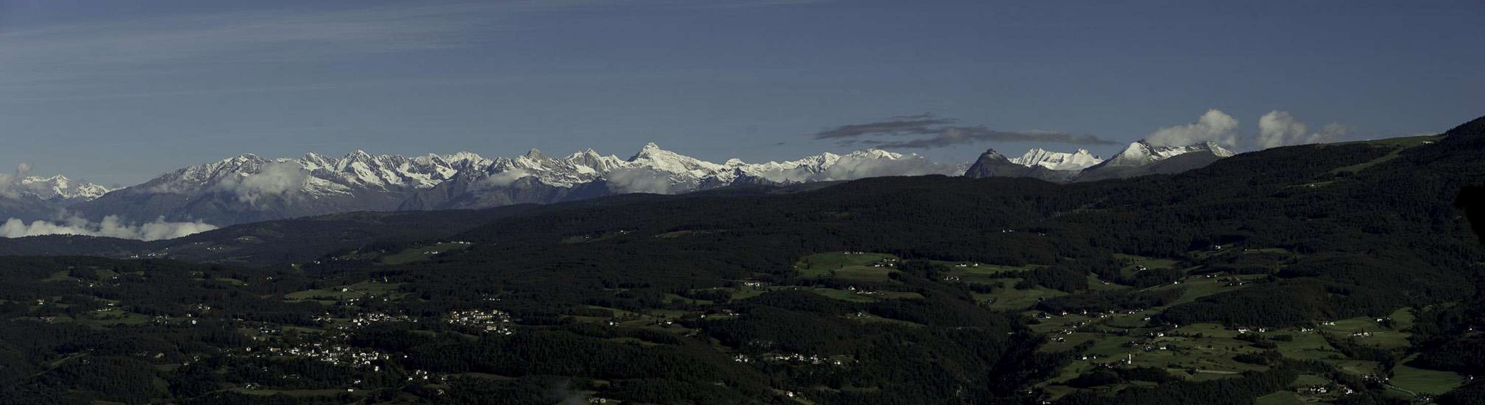
 Rosengarten and Latemar above uppermost Schäufelesteig (right)
- General:
- Start altitude: 1050m
- Summit altitude: 2563m
- Prevailing exposure: W and S
- Type: Hike
- Protection: None
- Start altitude: 1050m
- Effort: 5 - 1600m elevation gain
- Power: 5 - Steep, long and strenuous
- Psyche: 2 - Some exposure on Schäufelesteig
- Difficulty: 2 - Very steep ascent
- Orientation: 1 - Marked and easy.
From the parking lot at Völser Weiher follow the dirt road, which heads directly eastward up the slopes towards Tuff Alm / Malga Tuff. It heads up for roughly 200 elevation metres until you reach an intersection. To the left you can head over to the Alm, to the right a lower trail also heads towards Teufelsschlucht. Instead, take the trail ahead, Knüppelweg, which soon turns to head in south-easterly direction.
 |  |  |
After crossing Völser Bach / Rio di Fie the path levels for some 1000m, heading towards the summits of Hammerwand, Nigglkopf and Schafköpfe. 200m after a trail joins from Hofer Alpl in the west, you'll reach another intersection. The right hand trail leads into Teufelsschlucht directly, while the left hand negotiates the steep east face of the canyon. Both trails recombine at 1650 elevation, 100m after which Schäufelesteig heads up to the left.
  |
The following section is the steepest of the route. Schäufelesteig directly heads up the south-west slope of Schlern / Sciliar. Even though the start of the trail still lies 400m beneath the timber line, it offers fascinating views towards the southern summits of the Schlern / Sciliar Group as well as towards the Texel Group / Gruppo di Tessa to the north-west. At 2200m the path starts to level, even though you reach the plateau proper only at an elevation of 2400m, wight before reaching the drop-off into Seiser Klamm in the north. Wite dolomite cairns beautifully mark the route across the deeply green summit meadows.
 |  |  |
While there is a path to Schlernhäuser / Rifugio Bolzano, I would recommend a side trip to Jungschlern and even Gabels-Mull, which offer the best views onto Santnerspitze / Punta Santner and Euringerspitze / Punta Euringer across Seiser Klamm. After enjoying this view return to the end of Seiser Klamm, where you either head to Schlernhäuser or shortcut directly across the dolomite summit rocks towards Petz / Monte Pez, highest point of the Schlern Massif.
 |  |  |
There is also the option to hike to the northern summit, Burgstall / Monte Castello, or the northernmost lookout point of the plateau, Känzele (little pulpit), again with breathtaking views onto Santnerspitze / Punta Santner and Euringerspitze / Punta Euringer.