-
 5956 Hits
-
 72.83% Score
-
 3 Votes
|
|
Route |
|---|---|
|
|
36.08365°N / 115.47793°W |
|
|
Scrambling |
|
|
Spring, Fall, Winter |
|
|
Half a day |
|
|
Class 4 |
|
|
Overview
The route to White Rock Pinnacle is one of the best in Red Rock. As you approach the gully, it appears a sheer wall hundreds of feet high blocks the gully about halfway up. This is only an illusion! The route will test your climbing abilities, your cardiovascular system and your nerve. Death exposure on both sides awaits as you start the walk out on the narrow ridge to the summit.Getting There
Easy. From the Mirage on Las Vegas Boulevard (the Strip) go north three miles and turn left (west) onto Charleston Boulevard. Drive 21 miles on Charleston (it becomes State Route 159) to the signed First Creek parking area on the right (west) side of the road.Route Description
Hike First Creek trail about a mile and veer right, following an unmarked path to the seasonal waterfall. Cross the wash and pick up any path heading west toward the gully.
When the path disappears, head for the gully. It’s a little less than two miles from the trailhead to the start of the gully and about 900 feet of elevation gain.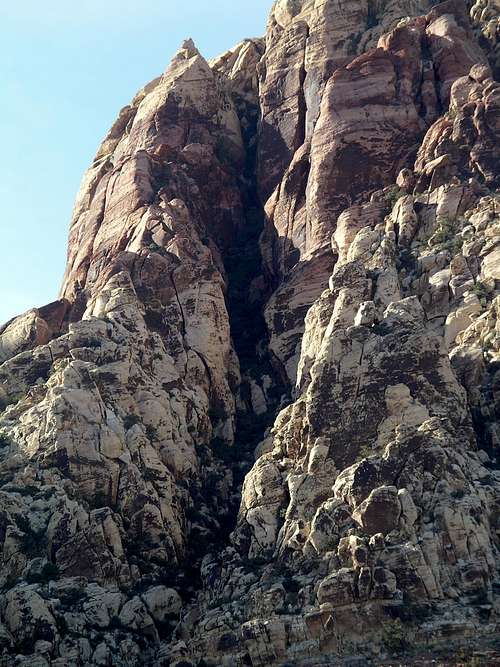
White Rock Pinnacle Gully
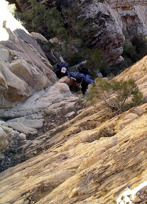
Enter the gully on the right side. In less than a hundred yards the gully forks. Veer left, staying in the more prominent gully. Follow the path that weaves through the brush. When the path leads to a chute filled with brush, look to your left for a cairn and climb the wall. Continue on the path squeezing by a prickly pear. Just beyond the prickly pear climb a chute exiting left by stepping on a log. Continue to the class 4 crack. There's a rope here. The path resumes to the left at the top of the crack. Continue up the gully to the chockstone and tunnel in the photo below.
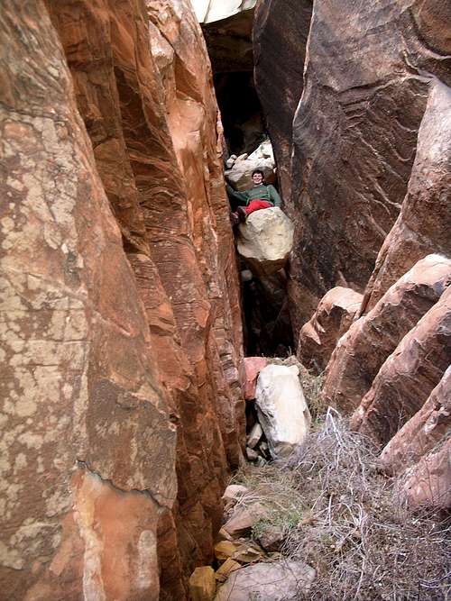
Chockstone and Tunnel
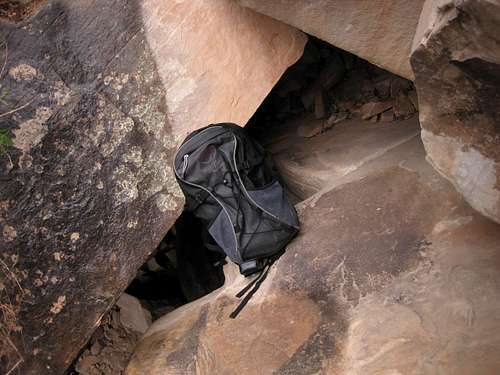
Hike under the chockstone and climb on top of it from the backside. Stem up the wall and into the back of the chimney. Be careful of loose rock. Scramble up and through the small tunnel to the right (north). You will have to take your pack off to fit through the tunnel. Be careful of loose rock and dirt. Use your rope to hoist packs through the hole.
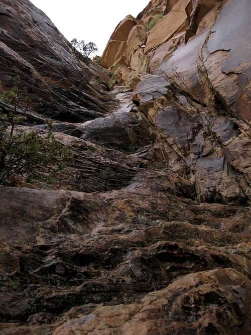
Chimney Exit
The path resumes cutting through the brush. In about 150 yards the path ends at the sandstone. Scramble up the sandstone as seen in the photos.
Pitch to Summit Ridge of White Rock Pinnacle
Final climb before exposed walk
Once up, you have a great view of Indecision Peak and First Creek Canyon.
Turn left (east) and walk the exposed ridge about 75 yards to the peak. You will not forget this summit!