
-
 3131 Hits
-
 71.06% Score
-
 1 Votes
|
|
Route |
|---|---|
|
|
45.80070°N / 7.53560°E |
|
|
Hike |
|
|
Half a day |
|
|
Walk-Up |
|
|
Approach
From Nus take the road to Verrayes, from there on to Grand Villa. The best trailhead is at Lago di Lozon, where there is a vacational zone with parking lot and restaurant. From here trails No 12, 12B start in direction Becca d'Aver.
Route Description
Altitude gain: 900m
Difficulty: Hike
Duration: 3h 30min
Trailhead: Lago di Lozon near Grand Villa
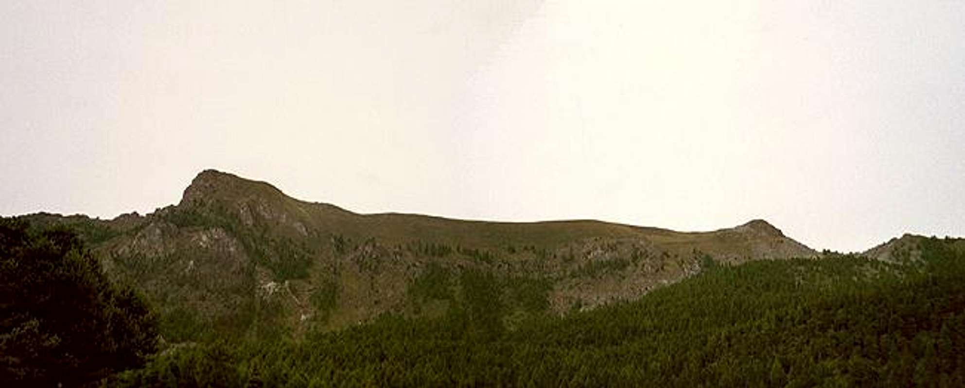
The hiking ascent from the southern side (Valle d'Aosta) poses no serious problems. After having climbed above the tree level it affords great views towards the Emilius group in the south. It leaves the best for last, however: Only on the last steps to Becca d'Aver you see the shape of Matterhorn towering above Vatournenche valley in the north.
From the parking lot at Lago di Lozon follow a dirt road (mark 12) which first leads west along the southern shore of the lake (and through the recreational area around it. The road gradually turns north (mark 5A) , then west and heads for the pass "Col. de Bornes".
From the Col take the trail leading directly in a northwesterly direction upwards towards Becca d'Aver. Halfway up from the Col another trail meets, coming directly from the south. Together they wind along sepentines to the ridge between Becca d'Aver and Cima Longhede, though closer to Becca d'Aver. Once on the ridge scramble easily to the top, always with Matterhorn directly in front of you.
Don't forget to visit Cima Longhede as well. It is a short 500m hike along the ridgeline to the southwest. Cima Longhede's summit is a little bit exposed to the south since the mountains drops vertically for some 100m.
 |  |  |  |
Essential Gear
Hiking gear is sufficient.