View 2014-7-26 Sloan Peak in a larger map
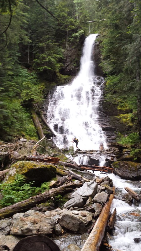
So I plan on filling in the missing reports from the last few months when I can find the time, but I can't wait to post about this last climb . I joined the rest of the Tacoma Mountaineers group at the Sloan Peak climbing trailhead along Road 49 late Friday night and slept in the truck. We were on the trail by 5:10 am. The first few creek crossings were minor, but the last one proved a fair obstacle. The long tree across the creek was somewhat twisted and pretty slick, so we butt-scooted slowly across one-by-one. All was going well until the final person to cross slipped and rolled under the log. Somehow Raphi was able to hold on and with a little help from Tim righted himself atop the log and made it across dry!
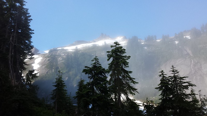
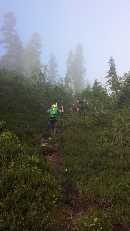
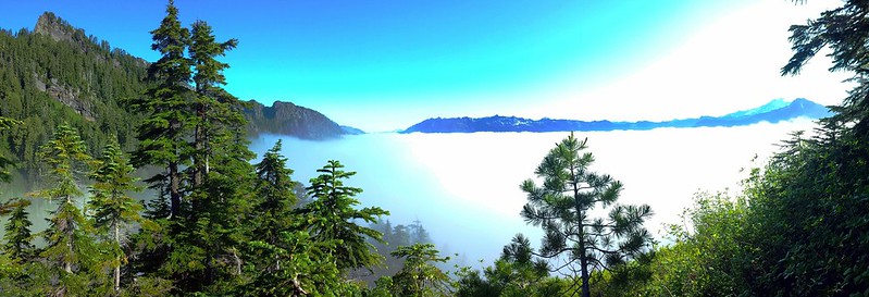
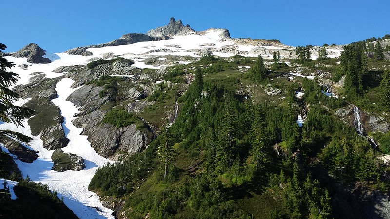
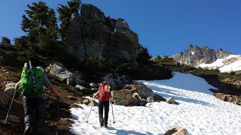
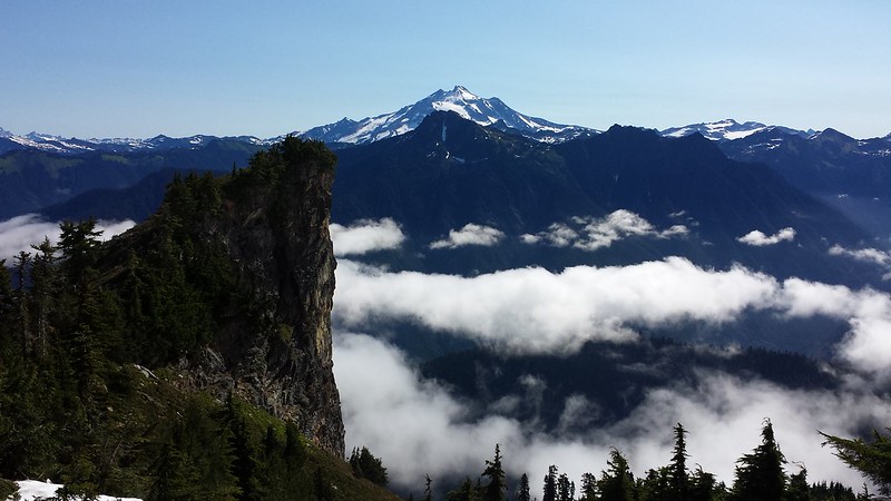
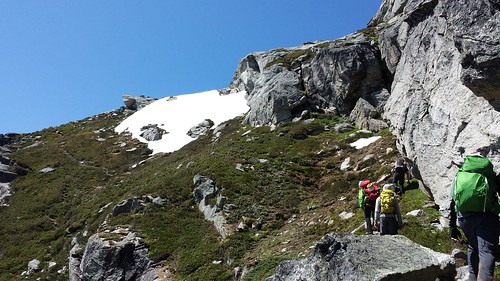
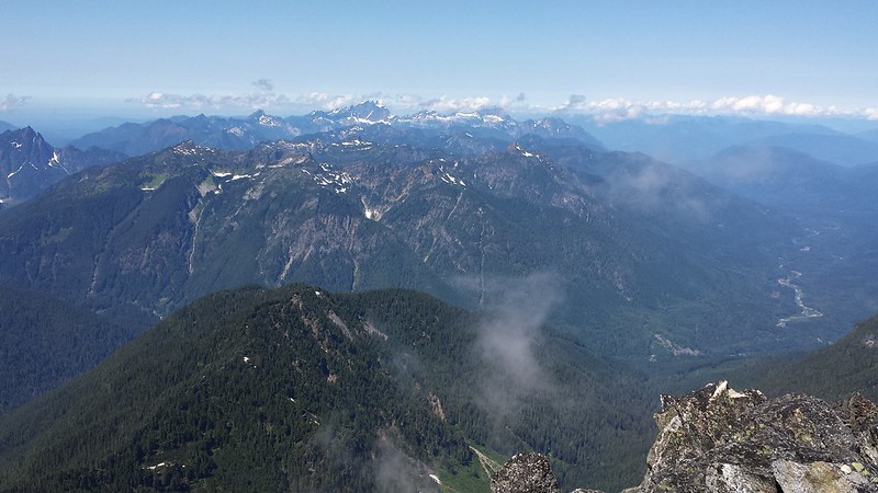
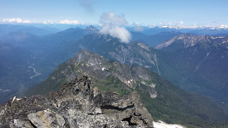
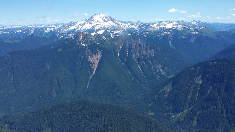
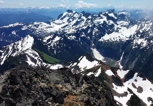
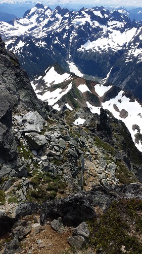
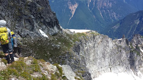
The trail was easy to follow despite thick brush covering much of it below 4000'. The summit ridge finally come into view and soon after we climbed above the clouds and took a rest on a narrow knob around 4200'. We continued along the well-worn bootpath and up the sharp NE ridge, crossing a few small snowfields along the way. Glacier Peak was closer than I have ever seen it, adding detail to the massive namesakes covering it's slopes.
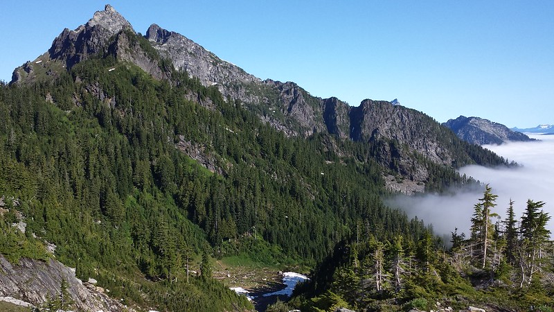
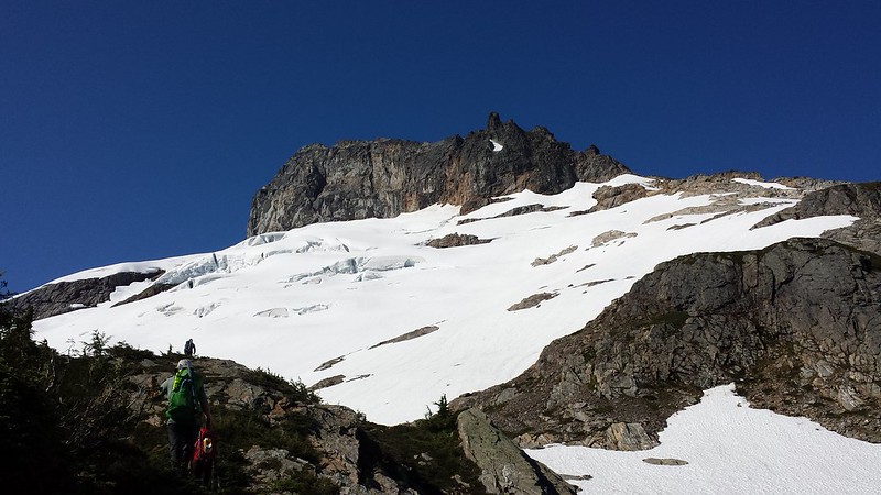
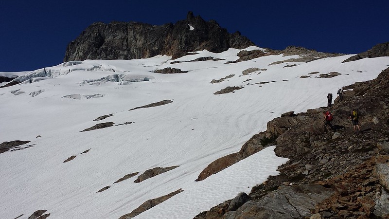
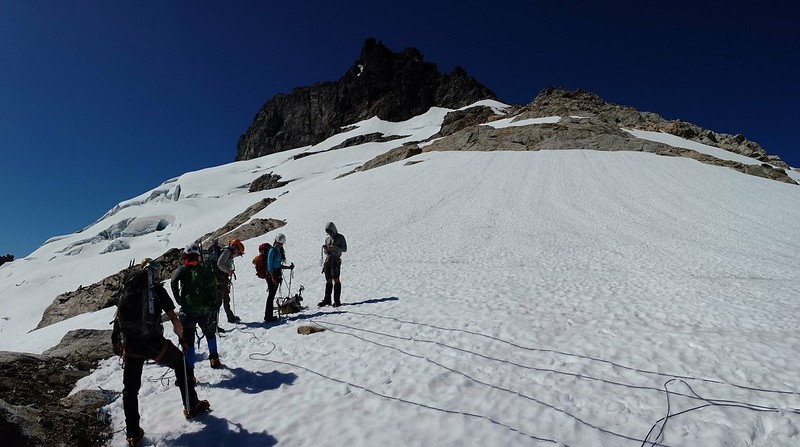
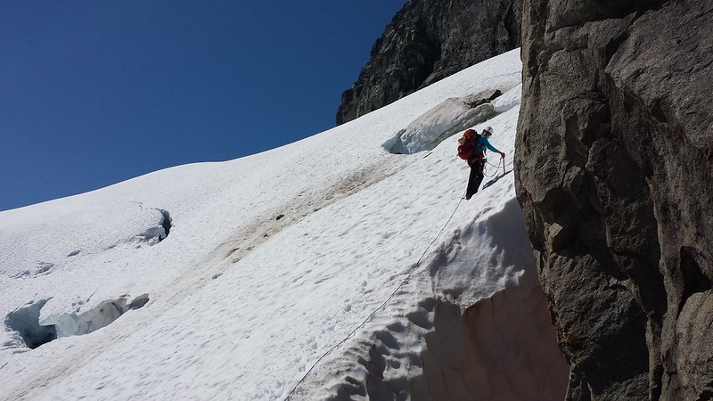
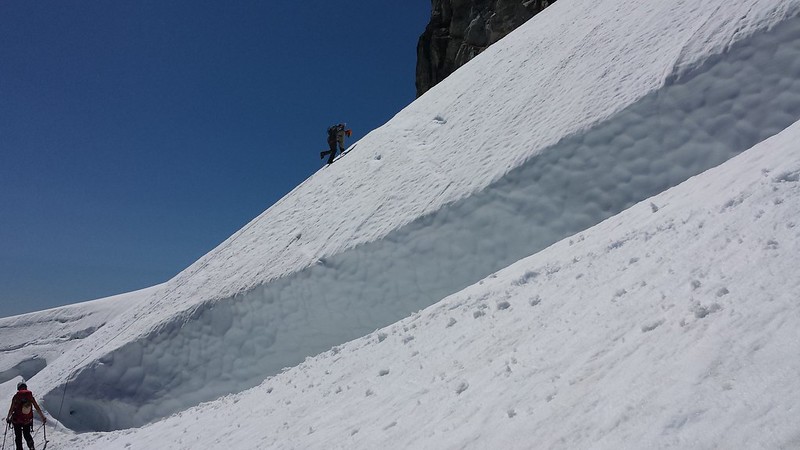
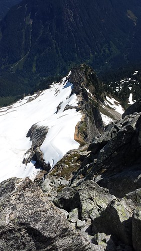
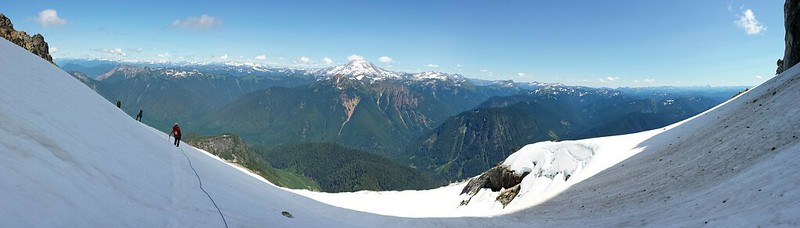
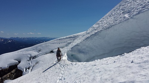
As we climbed I watched Mount Pugh and then White Chuck appear over the shoulder of Bedal Peak behind us. Before long Sloan Glacier appeared below the summit massif and the bootpath faded into rock and snow. Tim mentioned that there were far more open crevasses and exposed rock than when he had climbed Sloan earlier in the season last year. The ropes came out and we sectioned them off and tied in, checking each others set-ups before stretching out onto the glacier. We navigated around a few small crevasses and Tim set pickets in two spots with some significant exposure for a running belay.
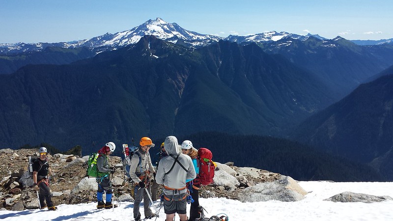
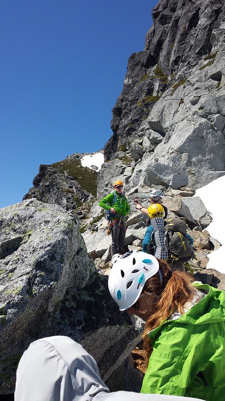
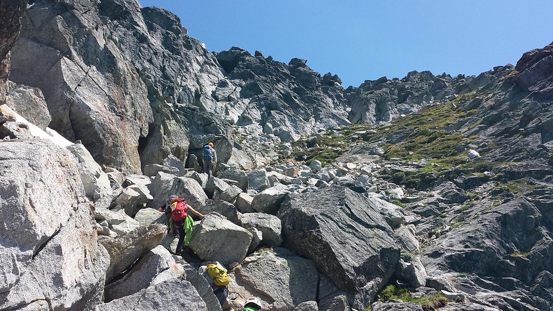
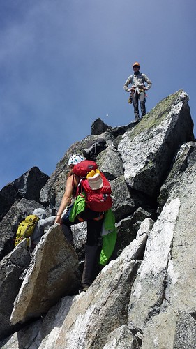
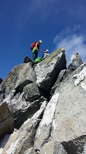
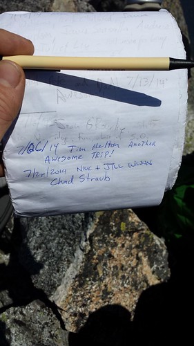
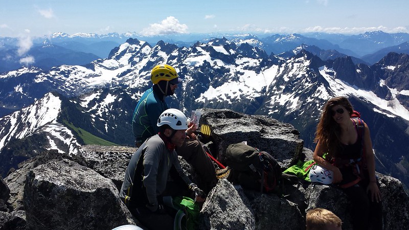
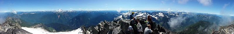
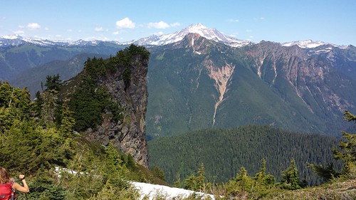
My serious roped glacier travel was great fun but ended all too soon as where the bootpath continues on the other side. We dropped our harnesses and winded up the path past some extreme exposure. The last 200 feet included some fun scrambling on mostly solid rock. We took our time in a few places to avoid knocking rocks down. The summit had just enough room for the seven of us to share snacks and pass around the register. Views from the top were stellar in all directions!
We carefully descended to the glacier, and retraced our steps. After packing up ropes and harnesses we all enjoyed a few glissades before final 4 mile trek back to the cars. Just below the narrow knob, we passed a group of 4 on their way up, one of whom I would later learn was Bob Bolton. We reached the trailhead after just over 13 hours, then hightailed it into Granite Falls for some much deserved Mexican Food.
13 miles round trip
5900' elevation gain
Comments
No comments posted yet.
