-
 3252 Hits
-
 71.06% Score
-
 1 Votes
|
|
Route |
|---|---|
|
|
46.69010°N / 12.45350°E |
|
|
Hike |
|
|
Half a day |
|
|
Walk-Up |
|
|
Approach
The ascent of the mountain starts at the small village of Kartitsch in the Tyrol Gailtal Valley. Follow the "Getting There" instructions on the main pageRoute Description

- Start altitude: 1422mm
- Summit altitude: 2634m
- Prevailing exposition: N
- Type: 30min over forest roads, 3h over paths
- Protection: marked but without security
The eastern ascent to Schöntalhöhe starts out from Erbhof Farm to the south-west of the village of Kartitsch. Follow trail No. 468, which at first uses a forest road. At an elevation of 1500m the road ends and the further ascent runs along trails and footpaths. It follows the Schustertal Creek on its western side until it reaches an elevation of 1900m.
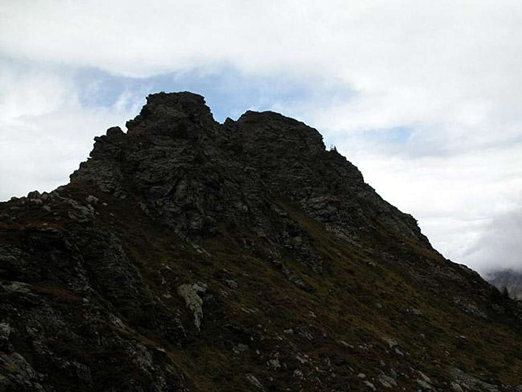
Here the main ascent along the Oberboden Alpe starts. It gets steeper and steeper as you close in on the Carnic Alps Main Ridge. Sepentines lead to the "Karnischer Höhenweg" Trekking Trail which you use for the final ascent to the summit block. The Trekking Trail circles the mountain on its northern side and you need to levae it to bag the summit.

