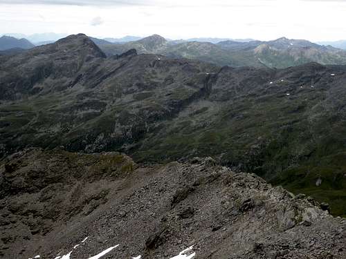
-
 1777 Hits
-
 76.66% Score
-
 7 Votes
|
|
Mountain/Rock |
|---|---|
|
|
47.17970°N / 11.54331°E |
|
|
Hiking, Skiing |
|
|
Spring, Summer, Fall, Winter |
|
|
9173 ft / 2796 m |
|
|
Overview
The northwestern part of Tuxer Alpen is built by a high ridge which runs from Glungezer to the north until Grafmartspitze to the south. Several side ridges branch off to the west, such as to Patscherkofel, the home summit of Innsbruck or Morgenkogel and Seeblesspitze, bordering Arztal valley which comes up from Ellbögen village located at Wipptal. Naviser Sonnenspitze links this mountain group to the central Tuxer mountains.
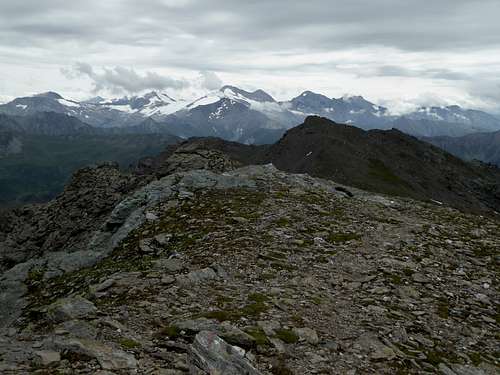
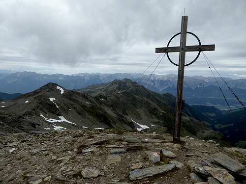
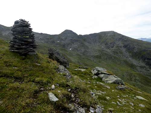
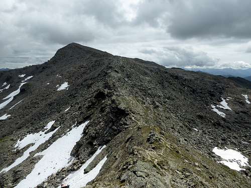
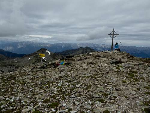
Rosenjoch is the highest summit of this part of Tuxer Alpen and with nearly 2800 m among the highest Tuxer peaks. The altitude difference between Innsbruck and the summit is nearly 2300 m but, as Rosenjoch is a broad mountain not featuring cliffs or steep rock faces, so unlike the surrounding mountains like Karwendel or Kalkkögel or Serles, you do not estimate this mountain beeing higher than the highest peak within Karwendel or higher as bold Serles. But it is!
Rosenjoch is a very nice hiking or skiing summit. Thankfully enough the most frequented trailhead at Oberellbögen is at a height of 1380 m thus making this summit available for a extended one day hike or ski tour.
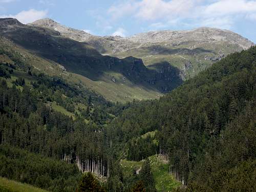
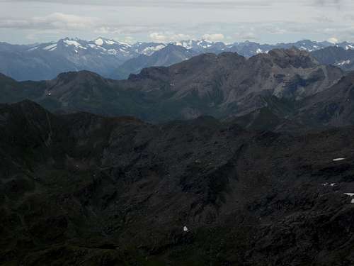
Tuxer Kreuzspitze to the north and Grünbergspitze to the south are the nearly equally high neighbour summits. Arztal valley to the west and uppermost Voldertal valley to the east border Rosenjoch and the ridge between Glungezer and Grafmartspitze. Some high cirques with rather poetic denominations like Rosengarten and Seeblesboden or Gamskar build the uppermost topografic features of this mountain.
Rosenjoch can be summited on its own but there are some interesting traverses possible (see Routes Overview section for that).
Getting There
Main trailhead for Rosenjoch is Oberellbögen. You can reach this trailhead by car.
- Leave highway A 13, Innsbruck – Brenner best at the exit “Patsch”, coming from the north or “Matrei”, coming from the south.
- From exit Patsch head for the village of Patsch. Leaving the village go right onto Römerstraße / Ellbögener Landesstraße and follow this road until you arrive at Ellbögen. Turn left on Oberellbögen road and follow this road up to th hiker parking area “Oberellbögen / Hinterlarcher" (parking fee).
- At Matrei go on road number 181, direction Innsbruck and turn left in the direction of Pfons. After the village follow Ellbögener Landesstraße until you reach Ellbögen, turn right on Oberellbögen road for the parking area.
Nearest railway station is Matrei am Brenner. There is, as far as I know, a bus number 4141 running between Matrei and Innsbruck railway station with a bus stop “Ellbögen / Gattinger” where Oberellbögen road branches off Ellbögener Landesstraße.
¾ hours walk from there to the trailhead
For Arztaler Alm exist private a shuttle service which can be booked here.
Routes Overview
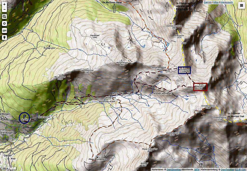
Trailhead Oberellbögen / Hinterlarcher
Parking area – Hinterlarcher – forest road to Arztal Alm – trail junction before reaching Arztal Hochleger – left hand trail to trail junction below Rosengarten cirque.
There are two options (dark red route of the above topo map):
- go right and traverse to the west ridge of Rosenjoch, climb the summit via this ridge;
- go straigt on to Rosengarten and Durrensee and up to the col between Durrenseespitze and Tuxer Kreuzspitze; climb Tuxer Kreuzspitze via ist west ridge and traverse on the connecting ridge from Kreuzspitze to Rosenjoch (some short and easy rock scrambling)
The ski routes use the broad west and southwest slopes of Rosenjoch and Kreuzspitze above Arztaler Alm for the ascent and downhill.
Another loop route (brown route of the above topo map), more extended than the one mentioned above starts at Arztaler Alm:
Arztaler Alm - Pfoner Ochsenalm - Pfober Kreuzjöchl - Seeblesspitze - Grünbergspitze - Rosenjaoch and back via the west ridge or via Tuxer Kreuspitze and Rosengarten.
Traverse routes (yellow routes on the above topo map):
- Coming from Patscher Kofel or Glungezer (both ascents can be done with a cablecar) you can traverse the easy ridge Patscherkofel – Viggarspitze – Glungezer – Gamslauer Spitze – Kreuzjöchl – Tuxer Kreuzspitze – Rosenjoch.
- Another traverse is possible, starting at Naviser Hütte or at Lizumer Hütte – Klammjoch – Mölsjoch – Grafmartspitze – Grünbergspitze – Rosenjoch. You can proceed to Tuxer Kreuzspitze and to Glungezerhütte or descend from Kreuzspitze to Seegrube and Meissner Haus.
Red Tape & Accommodation
The Rosenjoch area has no restrictions, as far as I know.
Accommodation can be found at:
Mountain huts:
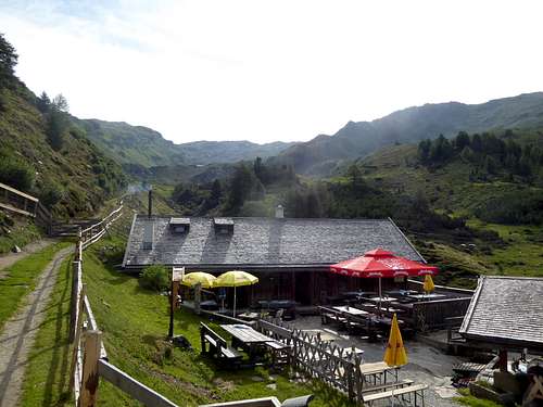
Arztaler Alm (private hut, overnight stay possible)
Gear & Mountain Condition
Rosenjoch can be summited the whole year.
In summer and autumn Rosenjoch is an easy but rather long hike which requires hiking gear and good boots. Some traverse routes require easy rock scrambling!
In winter and spring you need full ski tour and avalanche gear. Check the Tirol avalanche bulletin here.
Current Weather:
Weather Ellbögen - Wipptal valley
Mountain weather - Patscherkofel
Map
Alpenvereinskarte, scale 1 : 50.000
Number 31/5, Innsbruck
with trails and UTM-grid
edition 2018
