
-
 3460 Hits
-
 70.83% Score
-
 1 Votes
|
|
Route |
|---|---|
|
|
28.60460°N / 17.8412°W |
|
|
Hike and Scree Scramble |
|
|
Less than two hours |
|
|
Walk-Up |
|
|
Approach
See the main page for the itinerary to Rifugio del Pilar.Route Description
- Start altitude: 1440m
- Summit altitude: 1807m
- Prevailing exposition: N later S
- Type: 2h along well marked paths
- Protection: marked
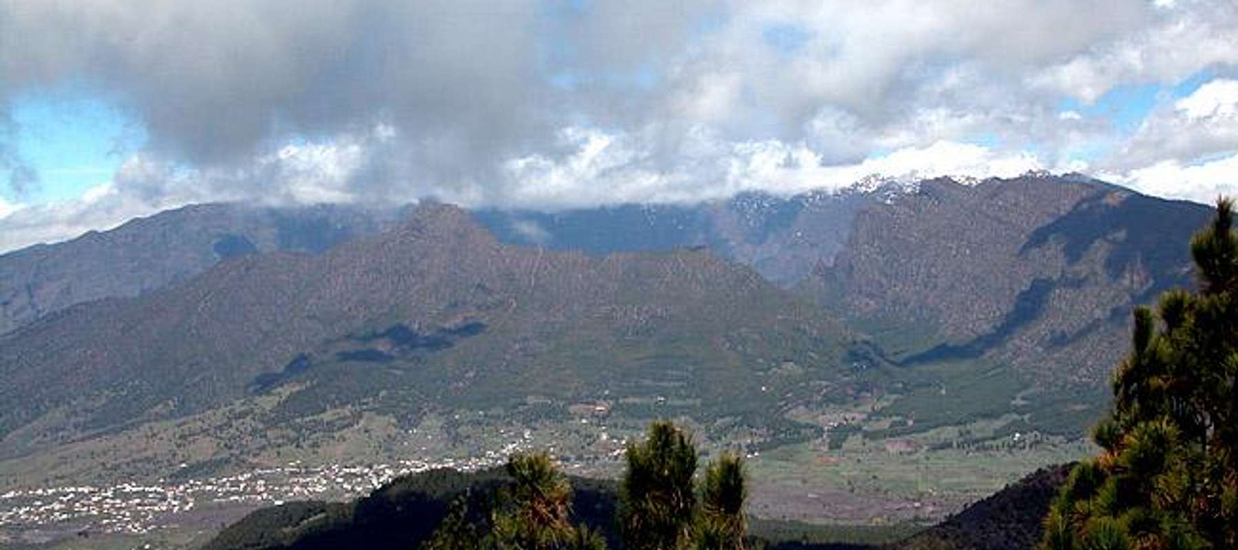
There are actually two routes onto Birigoyo which both start at Rifugio del Pilar. The northern route, however is so steep that it is far better to use the southern one. Keep in mind, that much of the climb runs along the lava scree fields of this volcano. Two steps up mean at least one step down...
From Rifugio del Pilar follow the signs along Ruta de los Volcanes. The route passes the volcano on its western side. It first climbs through a beautiful Canarian pine forest to reach a lookout platform from which you have a first perfect view of Caldera de Taburiente and the Aridane Valley in front. The trail turns west and soon meets the northern route. If you decide to follow this you go directly up towards the mountain but at the price of heavy trudging through the fine scree. Better follow Ruta de los Volcanes to the west, which soon bends southward.
After a while (30min) another steep scrambling trail turns off to climb Birigoyo from the south-west. Ignore it but 5min afterwards take a forest road which turns off eastwards south of the Birigoyo summit. Another five minutes and you'll reach the southern ascent trail to Birigoyo which also directly heads for the crater and the summit.