
|
|
Route |
|---|---|
|
|
36.10810°N / 115.4894°W |
|
|
Scrambling |
|
|
Spring, Fall |
|
|
Most of a day |
|
|
strenuous |
|
|
5.2 (YDS) |
|
|
Overview
Climb away
Easy does it!
Getting There
From Charleston Blvd and the 215 Beltway in the western part of Las Vegas, take Charleston Blvd. (Highway 159) west for about 5 miles until you reach the entrance to Red Rock Canyon NCA. There are a couple of trailheads that can be used for this climb. My preference is a pullout from Hwy 159 about 2.6 miles SW of the entrance to Red Rocks. (.6 mile past the exit from the 13 mile loop road) The other trailhead is reached by driving around the 13 mile loop and taking the Oak Creek trailhead exit which is the one after Pine Creek parking area and involves driving perhaps ½ mile on a gravel road. The hiking distance is about 5 minutes longer from Hwy 159.Route Description
crack time
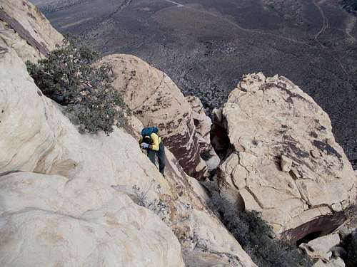
Ed getting high
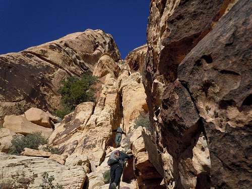
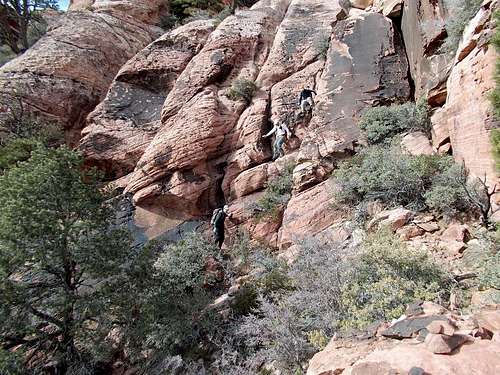
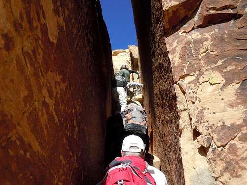
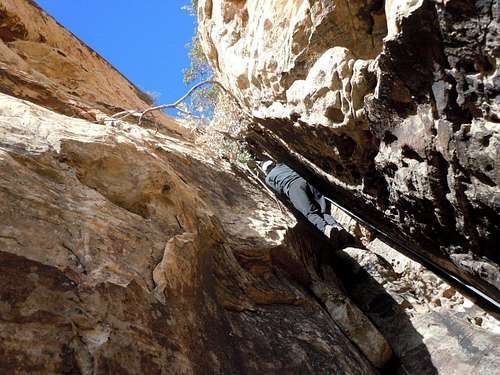
When you reach the canyon, look for a major gully heading up the SE flank before you reach the Solar Slab gully. There are several cairns along the initial section and once you are climbing, there are ample cairns to let you know you are on the route.
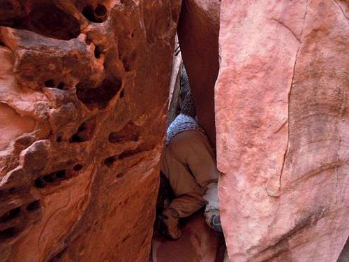
Luba in a pinch
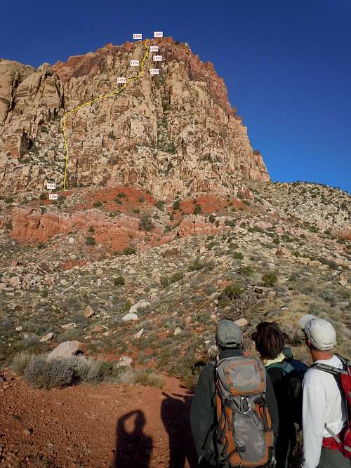
Route trace
Camping
There is a campground located south of SR159 two miles east of the entrance to RRCNCA. There is no developed campground within Red Rock NCA, although backcountry camping with a permit is allowed.
Red Tape
National Park entrance fees apply in Red Rock National Conservation area. Hours of operations vary by season. See Red Rock NCA Home Page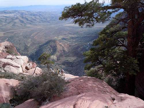
Potato Knoll from above
spiderman?