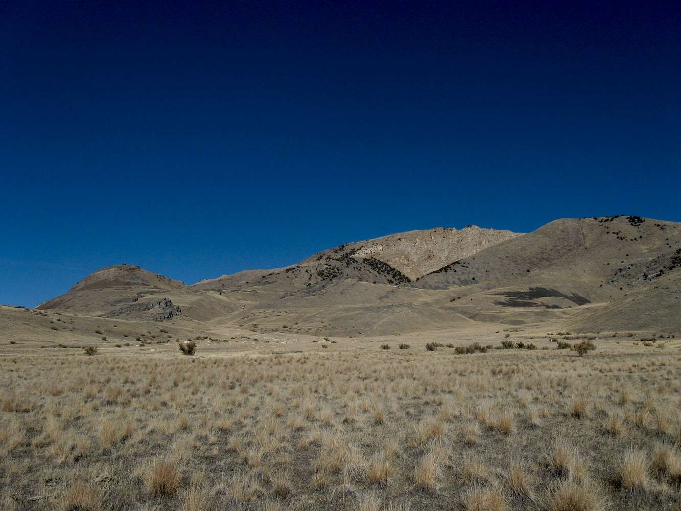
From the fence to the summit, it is roughly 2.25 miles with 2300' of elevation gain. The route goes to the right of knob 4756', hits a saddle at 4680 and then stays fairly close to being on the skyline of this picture. See the map I've created for the route.


