-
 1498 Hits
-
 76.66% Score
-
 7 Votes
|
|
Mountain/Rock |
|---|---|
|
|
47.10241°N / 11.39072°E |
|
|
Hiking, Scrambling, Skiing |
|
|
Spring, Summer, Fall, Winter |
|
|
7848 ft / 2392 m |
|
|
Overview
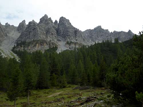
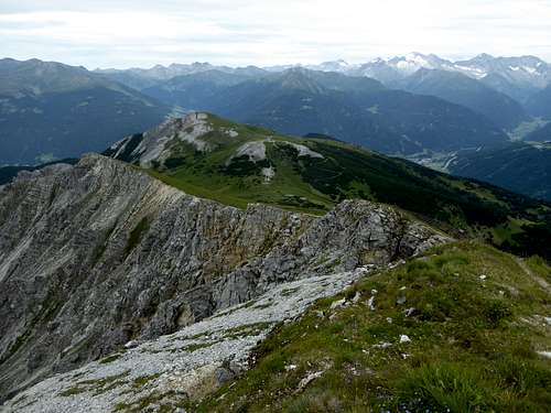
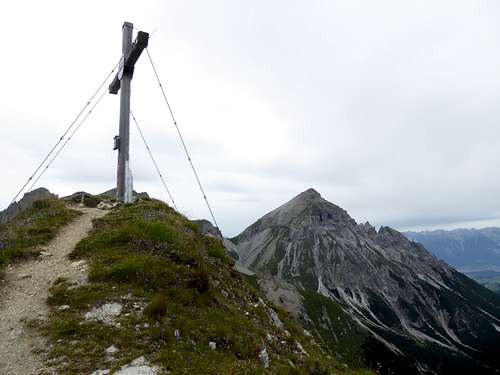
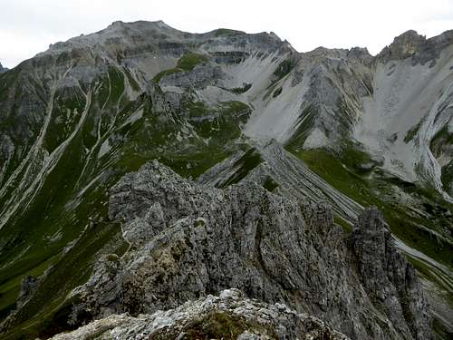
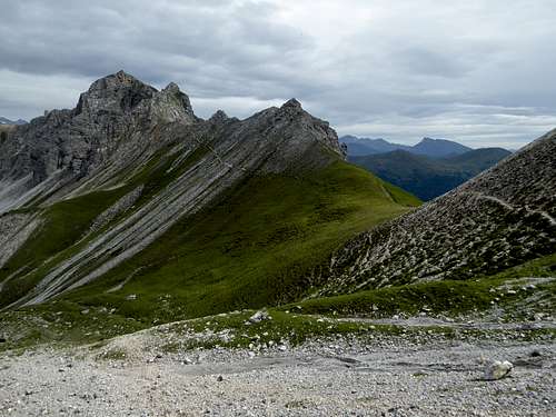
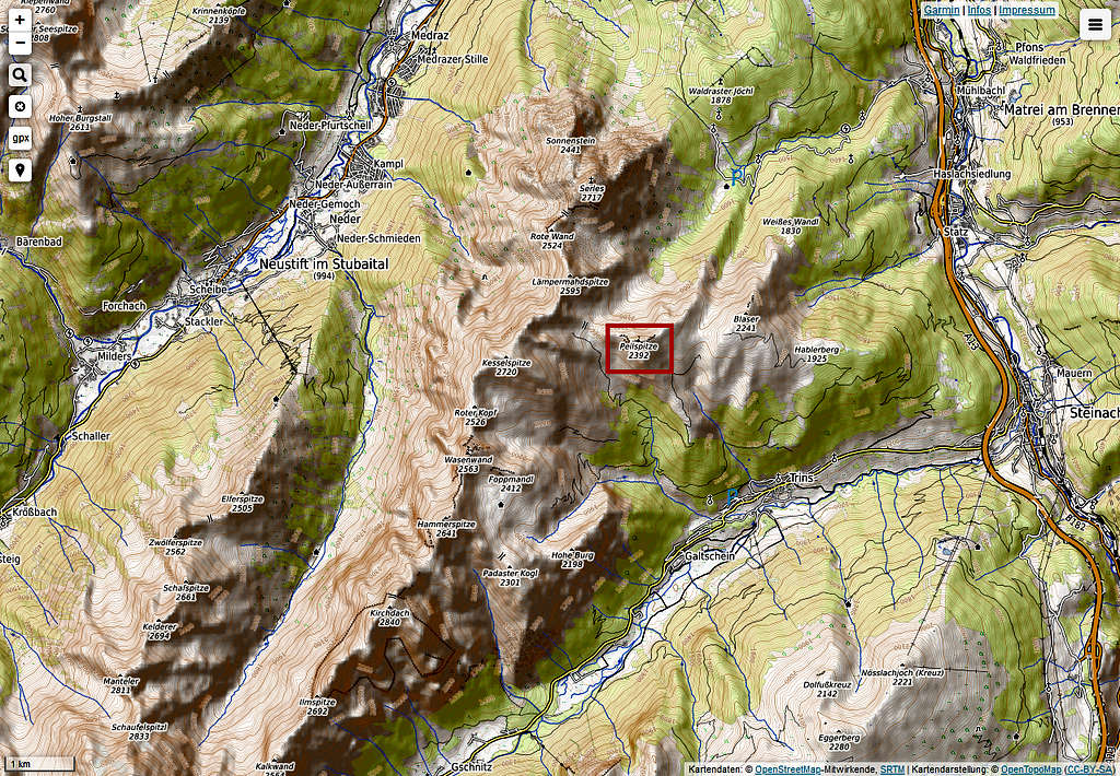
Peilspitze is part of the Habicht - Serles range within Stubaier Alpen. Whereas Stubaier Alpen are mainly higher glacier mountains, Serles range is built up of more moderate peaks and summits and Peilspitze, sitting on a side ridge which branches off to the east, is no exception. Only 2398 m high, Peilspitze nevertheless is a nice mountain and worth a hike.
This side ridge links at Kalbenjoch col to the main Serles range. The whole range is a geologically interesting part of Stubai. Consisting of slightly metamorphic limestones. these mountains belong to the so called Brenner – Mesozoikum. It’s the Triassic and Jurassic sedimentation of limestones in shallow water. This unit is placed above the metamorphic rocks of Stubai – Ötztal – Kristallin. Peilspitze itself is part of a small tectonical nappe within Brenner – Mesozoikum, called Blaser – nappe.
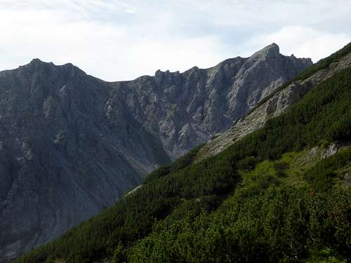
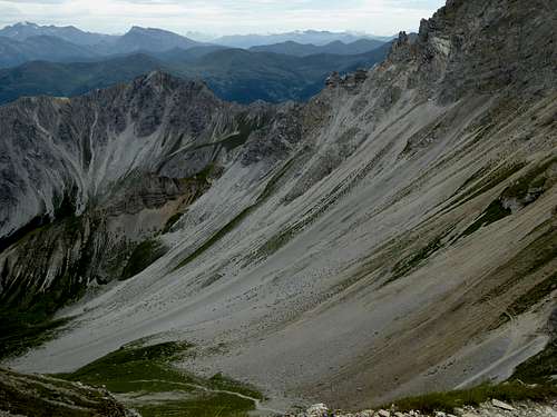
Blaser is a meadow summit east of Peilspitze, west of our summit is located the much higher Kesselspitze. To the north Peilspitze drops down into Matreier Grube cirque and the valley of Matreier Ochsenalm. To the south lies Gschnitztal valley and the village of Trins.
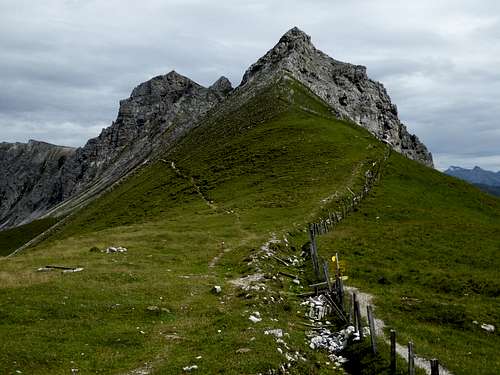
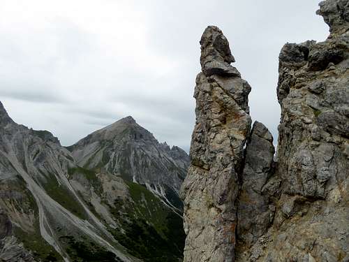
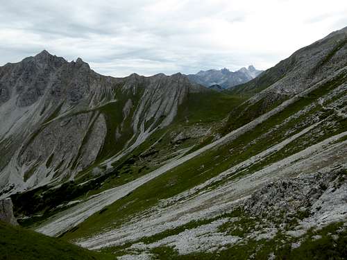
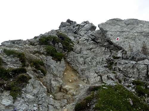
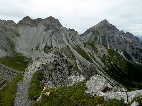
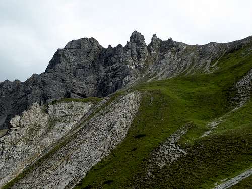
The Peilspitze ridge is a line of spires and rock towers and its hard to believe that both summit ascents are rather easy ones; the one from Blaser is a hike on a steep and narrow trail, the one from Kalbenjoch col requires some rock scrambling on easy rock terrain, partly secured with steel cables.
Peilspitze is a ski tour, too, following the easiest north and south summer route.
Peilspitze offers nice views to Serles range summits and to Serles itself. To the east there are the Tuxer Alpen summits, to the south there are some glacier mountains of Zillertal and Stubai and, far behing Brenner col, some Dolomiten peaks.
Getting There
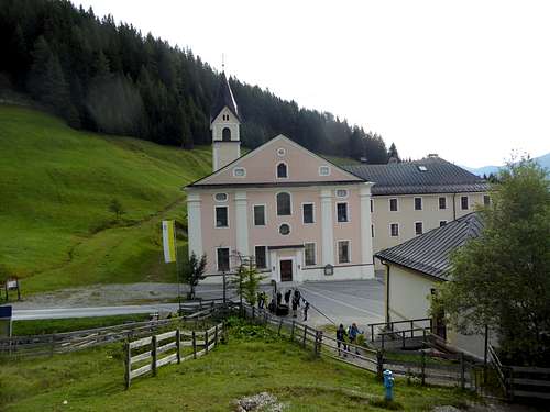
Northern trailhead for Peilspitze are the neighbor parking areas of Matreier Ochsenalm and Maria Waldrast.
Southern trailhead for Peilspitze is the village of Trins.
- Leave highway A 13, Innsbruck – Brenner best at the exit “Matrei am Brenner”.
- At Matrei go on road number 182, direction Innsbruck and pass through old village. At the northern end of the old village center turn left on the road to Maria Waldrast (toll road). Proceed until the end of the road at the monastery of Maria Waldrast or stop at Matreier Ochsenalm parking area (about 500 m in front of Maria Waldrast).
- For Trins go on road number 182 in the direction of Brenner to the village of Steinach am Brenner. Turn on road number L10 to Trins. At Trins turn on road Bichl to the parking area “Egarte”
Nearest railway station is Matrei am Brenner.
Northern trailhead: a public bus goes from the railway station three or four times up to Maria Waldrast and back again.
Southern trailhead: Bus number 4141 or 4145 goes from Matrei to Steinach am Brenner. Bus number 4146 goes from Steinach am Brenner to Trins (bus stop Trinser Hof or Tiroler Hof).
Routes Overview
Trailhead Maria Waldrast / Matreier Ochsenalm
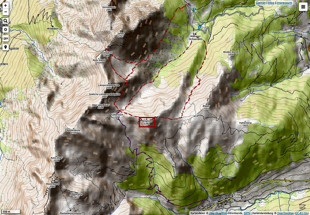
There are several routes to Peilspitze which can be linked together to a nice loop route and can be combined with other summits.
- Maria Waldrast – Serlesjöchl (possibility to summit Serles) – Kalbenjoch – Peilspitze via west ridge
- Matreier Ochsenalm – Matreier Grube – Kalbenjoch – Peilspitze via west ridge
- Matreier Ochsenalm – Langes Tal - Schluimessattel (option for Blaserhütte and Blaser summit) – Peilspitze via east ridge
This is the ski route from Maria Waldrast, too
- Maria Waldrast – Serlesjöchl – Lämpermahdspitze – Kalbenjoch – Peilspitze via west ridge.
Trailhead Trins, Egarte parking area
- Trins – Schluimessattel col – Peilspitze via east ridge (option Schluimessattel – Blaserhütte – Blaser summit)
This is the ski route from Trins, too.
- Trins – Kalbenjoch – Peilspitze via west ridge
Traverse route
Blaserhütte – Peilspitze traverse to Kalbenjoch – Kesselspitze – Roter Kopf – Wasenwand - Padasterjochhaus
Red Tape & Accommodation
No restrictions as far as I know.
Accommodation:
Mountain huts:
Gear & Mountain Condition
Peilspitze can be summited the whole year.
In summer and autumn Peilspitze is an nice hike which requires hiking gear and good boots. The west ridge requires easy rock scrambling! Parts are secured with steel cables.
In winter and spring you need full ski tour and avalanche gear. Check the Tirol avalanche bulletin here.
Current Weather:
Valley / Matrei am Brenner
Mountain / Serles
Maps
Alpenvereinskarte scale 1 : 50.000
number 31/3, Stubaier Alpen / Brennerberge
edition 2018, UTM-grid
available as map with trails or map with ski routes
and
number 31/5, Innsbruck und Umgebung
edition 2018, UTM-grid
available as map with trails or map with ski routes


