|
|
Route |
|---|---|
|
|
42.29900°N / 123.8453°W |
|
|
Most of a day |
|
|
Walk up |
|
|
Approach
From Grants Pass, head south towards Selma and Cave Junction on the Redwood highway, highway 199. From highway 199, go 4 miles south of Selma and turn right on the Dollar Mountain road (county road 5240). You'll pass the gated access road to 8 Dollar mountain in a couple of miles and if you have the time you can stop and hike up the road to the top since 8 Dollar Mountain is one of Oregon's 73 prominence peaks. Continue on past the 8 Dollar access road and after a few miles (don't know how many) watch for the FS road, 4201. It should be signed for Onion Camp and is known locally as the Onion Camp road.
About 17 miles will put you at Onion Camp and the road is twisty, narrow and defensive driving is needed at times. Drive to the trailhead at Onion Camp and follow the Kalmiopsis Rim trail.
Route Description
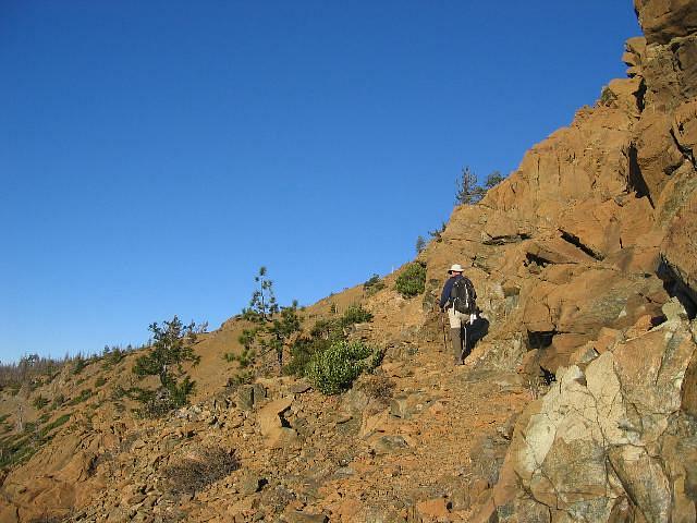
The Kalmiopsis Rim trail goes over Eagle Mtn and becomes an old mining road which connects with the road coming up from the McCaleb ranch at Chetco Pass . Follow the road as it wraps to the right and a bit over a mile will bring you to to a fork at Billingslea junction (A sign pointing to Pearsoll Pk is here) Take the left fork and you're within a mile (slightly more) of the peak. Actually, the peak is visible from the junction. The total one way distance is 7 miles from Onion Camp to Pearsoll Peak with an elevation gain of 2800 feet. This can be terrible hot with temps reaching around 100 degrees so carry plenty of water as this is a dry area once the snow pack is gone. One small spring is crossed that I can recall but that may be seasonal.
Elevation gain: 2900 feet. (including ups and downs)
Essential Gear
Plenty of water, snowshoes in times of snow and sunscreen.
See the map link posted at the bottom of the front page. I'll post some topozone links a little later today.
Miscellaneous Info
The sign at Billingslea junction. At the far left of the pic, you can see a part of Pearsoll Peak although mostly hidden behind the trees. Go left at this junction.

The road that leads toward the peak turns into a trail as shown here in this pic