
|
|
Route |
|---|---|
|
|
40.40630°N / 119.2628°W |
|
|
Hiking |
|
|
Spring, Summer, Fall |
|
|
Half a day |
|
|
class 2 hiking |
|
|
Overview
In looking at the trip reports for this mountain, we thought we saw a possible route via the northwest ridge. David Porter had indicated that he had gone up a "northwest ridge" and it saved 500 feet of elevation gain versus the other routes so Richard Carey and I thought we'd give the possibilty of a "northwest" ridge approach a try.
Kumiva Peak and me
Getting There
The road that takes off from Nevada 447 (goes between Fernley and Gerlach) is a very good dirt road. Most traffic heading north will want to leave the highway at 40.4339 119.3329 (nad 27). After leaving the highway, we drove eastward about 3 1/4 miles to a jeep track that is on the right side of the road just before it starts its climb steeply up to a pass. The elevation of this jeep track is about 5525' and near 40.4234 119.2771. We pulled off on this lesser road and found a spot where we could park two vehicles (possibly three) and it was flat enough to car camp at for the evening. The road continues on probably up to a spring but we didn't explore any further.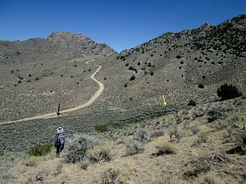
Trailhead area for Northwest route
Route Description
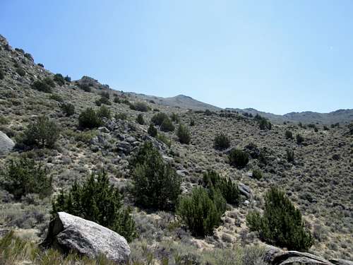
About 6500'
Our parking spot was at: 40.4228 119.2756 elevation 5560
From there, we walked over towards the gully that had water running in it and found a way across it where it wasn't a problem. From there we found a fenceline and crawled under the barb wire to start up the hillside that we followed around to the west and then up. I've created a map which will shed light on this but some key waypoints are as follows: (nad 27)
A) 40.4166 119.2779 6185'
B) 40.4139 119.2722 6745
C) 40.4118 119.2694 7100'
D) 40.4083 119.2654 7680'
Aim for the saddle on the south side of the summit area. This is totally a cross country route and you will need to deal with some bush whacking as you get above the 7100 foot level but nothing is difficult, as you can find your way through the stuff even as the slope steepens the higher you go. We encountered no class three sections and nothing technical. Overall, we were very pleased with our route and hope others might find it as useful as we did.
Distance was about 2.5 miles with 2700 feet of elevation gain.
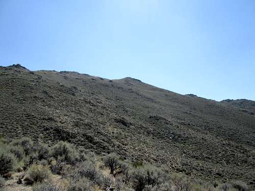
About 7100'
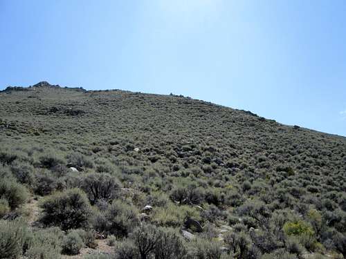
About 7600'
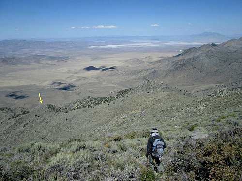
View of route
Looking back down our route
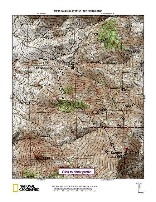
Route map