
|
|
Route |
|---|---|
|
|
46.44010°N / 14.21260°E |
|
|
Scramble and hiking |
|
|
Most of a day |
|
|
Walk-up |
|
|
Approach
From Ljubelj pass, the border between Slovenia and Austria you will ascend below the north face and slopes of Begunjscica on the Dom na Zelenici (hut) (1536m). You can reach the hut over the skiing slopes or over the macadam road in the forest.
Route Description
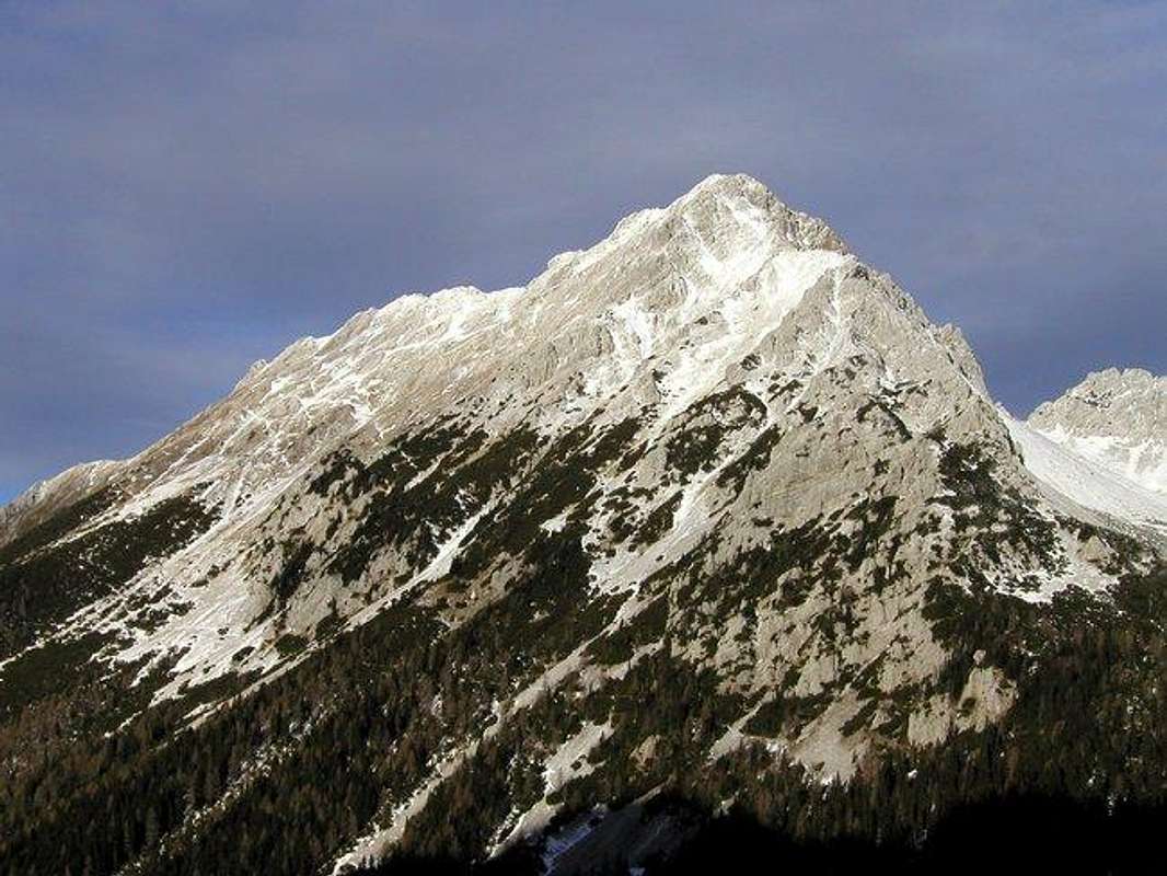
The south slopes of Vrtaca and the SE ridge.
From Zelenica meadow first you walk over the ski slope and then you turn in to the forest and you follow the signposts for the Vrtaca. You walk in the forest below the ridge of Na Mozeh and you go by the crossing where goes the hunting route in the basin Suho rusevje. You come on at the foothills of the SE ridge of Vrtaca and now you cross the south slopes of Vrtaca (in Winter high risk for avalanches). From the left comes the marked route from the Sija saddle (1693m) but now you start ascending on the west ridge of Vrtaca over the grassy slopes. Soon you reach it and now you have some meters to the top of the Vrtaca over the west ridge.
You descend by the same route.
Essential Gear
Good hiking shoes, in Winter total Winter equipment and be careful for avalanches!
Miscellaneous Info
If you have information about this route that doesn't pertain to any of the other sections, please add it here.