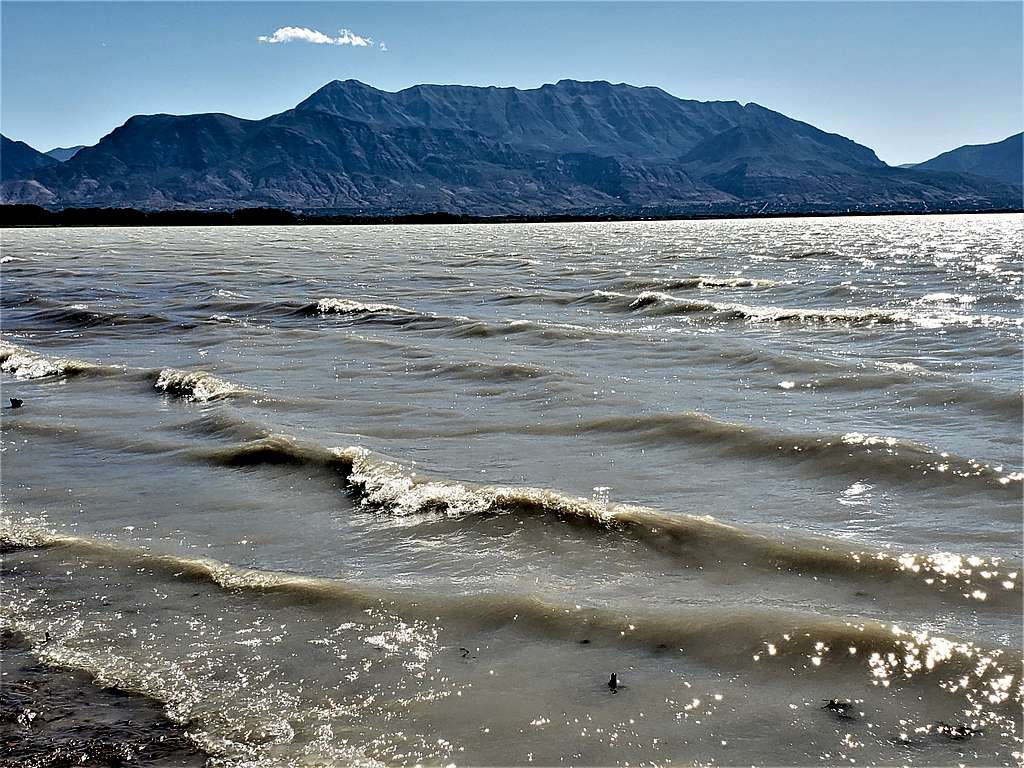
The 11749 ft Mt Timpanogos is the second highest peak in Utah’s Wasatch Mountain Range and the 7th most prominent peak in Utah. It rises to the northeast of the Provo metropolitan area and is well visible from the city streets and the shores of Utah Lake.
The two most commonly used trails to reach the summit of Mt. Timpanogos are: Timpooneke Trail and Aspen Grove Trail.
Timpooneke Trail starts at an elevation of 7360 ft to the north of the summit and is 7.4 miles long one way (per my GPS). Aspen Grove Trail starts at an Elevation of 6890 ft to the east of the summit and is 7.6 miles long (per my GPS). I did a one way 15 miles long hike from Timpooneke Trailhead to the summit of Timpanogos and then down to Aspen Grove Trailhead.
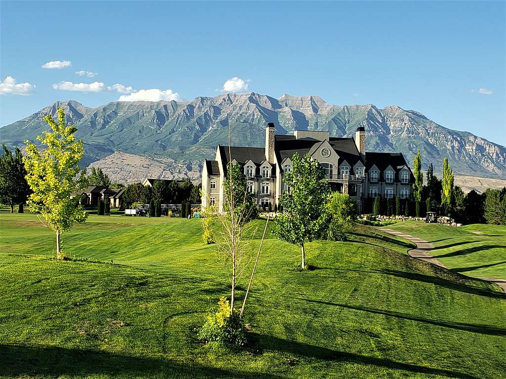
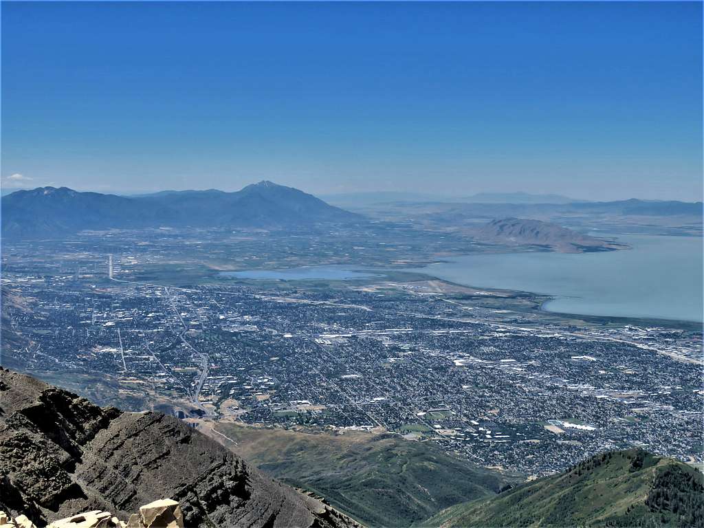
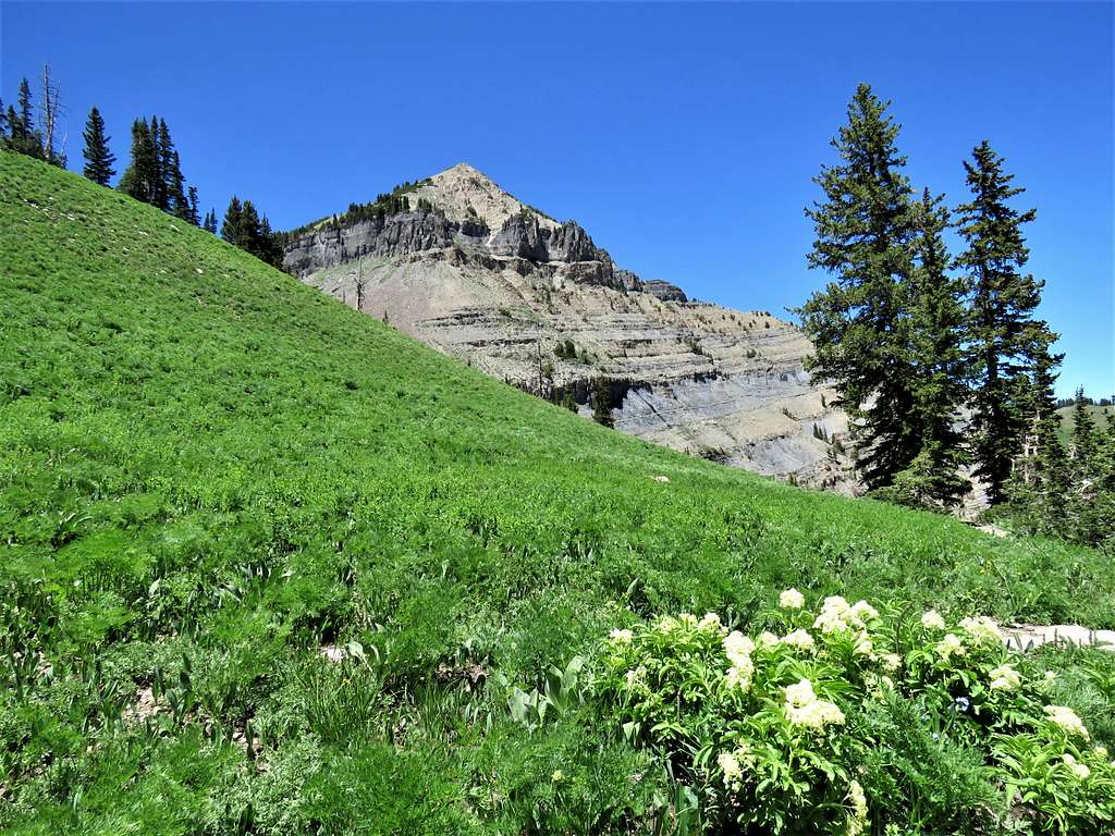
Mt. Timpanogos from Sleepy Ridge Golf Course
Hike Statistics
Hike Length: 15.01 miles per my GPS
Total Ascent: 4736 ft per my GPS
Hiking Time: 6:20 AM to 4:24 PM, including the time to take 197 pictures (1.5 hours?) and 20 minutes on the summit.
Trip Report
My wife and I left the vacation rental house in Orem, Utah at 5:00 AM when it was still mostly dark (sunrise around 6:05 AM). Drove to the community of Sundance and then a little beyond that to Aspen Grove Trailhead so that my wife would know where to come pick me up at the end of the day. We then continued on the narrow and very winding Route 92 through an Aspen forest until we reached Timpooneke Trailhead. The parking lot was half full and I could see other hikers getting ready.
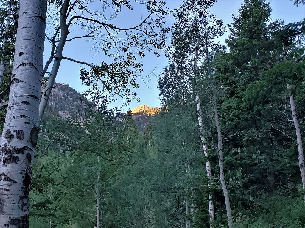
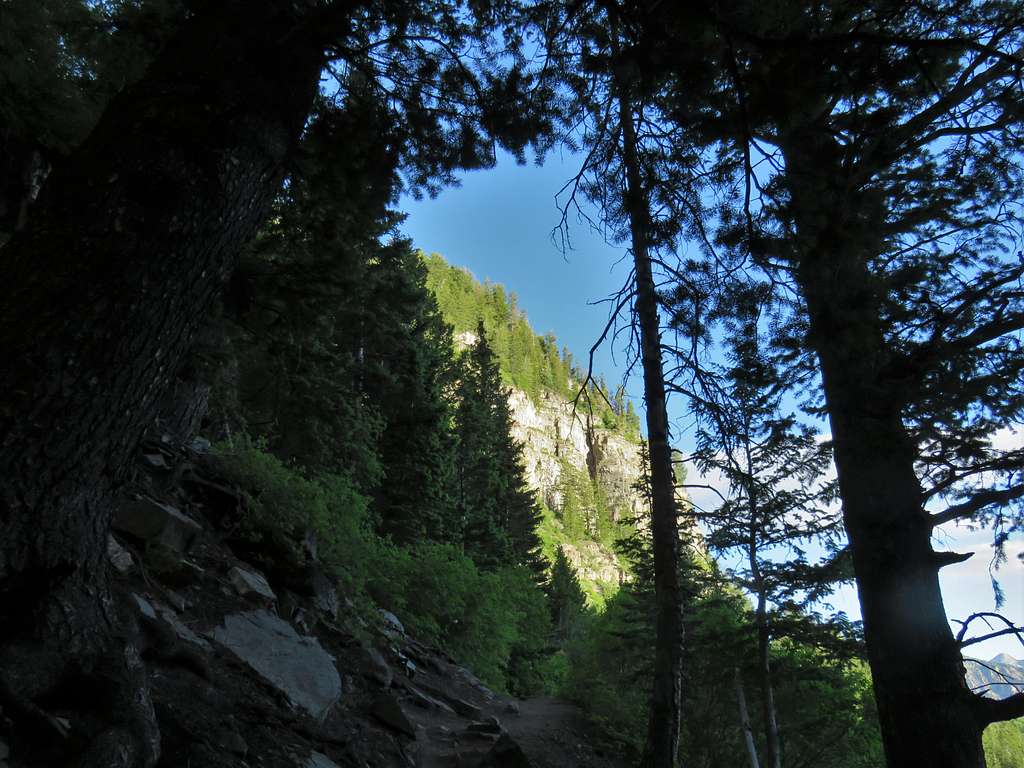
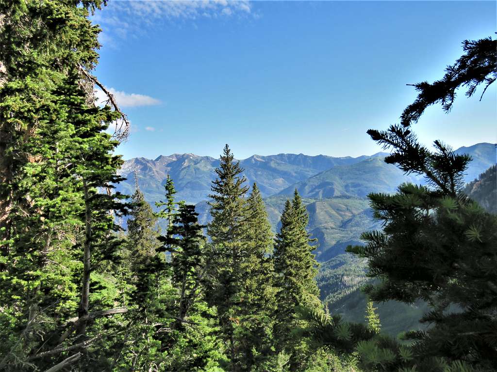
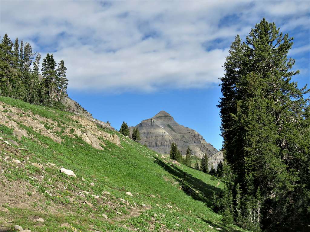
It was 6:20 AM (elevation 7360 ft) when I said goodbye to the lovely wife and asked her to pick me up at Aspen Grove Trailhead at around 4:00 PM (I turned out to have good cell phone connection and could keep her up to date on my progress). I had 4 liters of water plus half a liter of apple juice so my backpack was very heavy. The trail headed south going into a forest. I could see the tip of Mt. Timpanogos, but it soon went out of view.
Tip of Mt. Timponagos
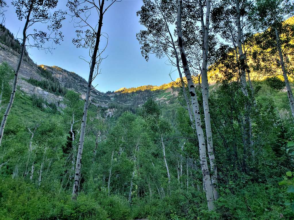
Continuing up the trail.
Lower trail area
lower trail area
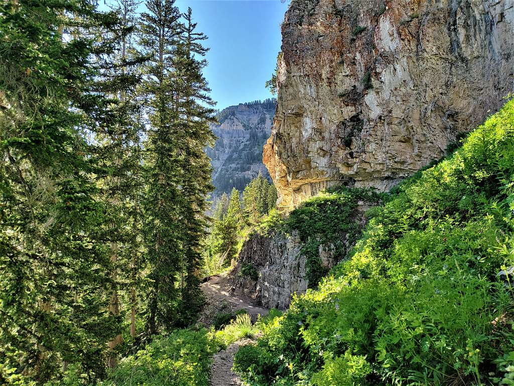
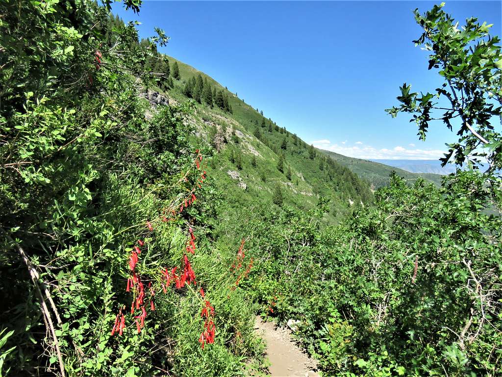
I then got a glimpse of Scout Waterfall but could not take a decent picture. The trail began to make a number of switchbacks.
White Baldy, Box Elder etcSwitchbacks
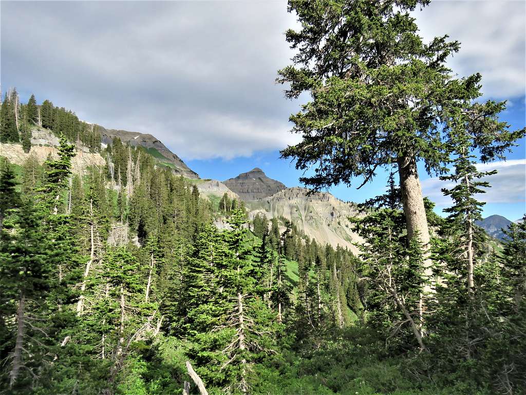
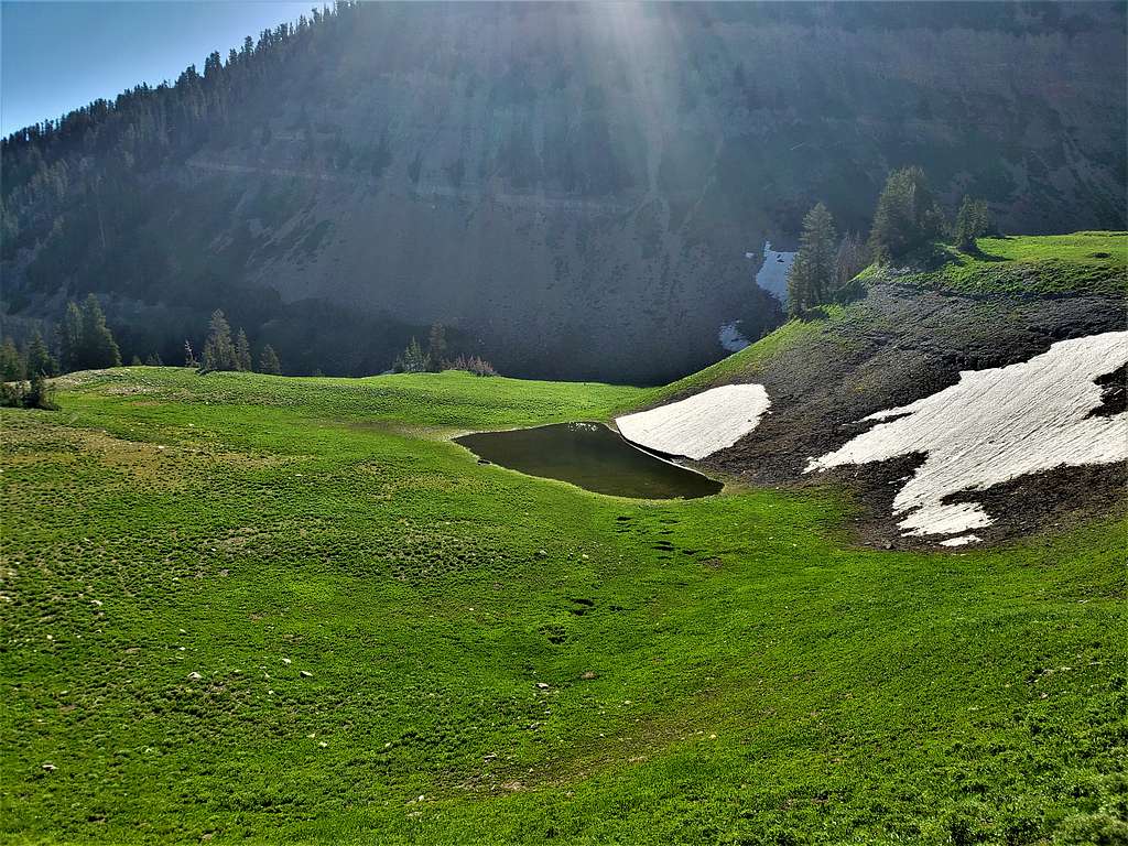
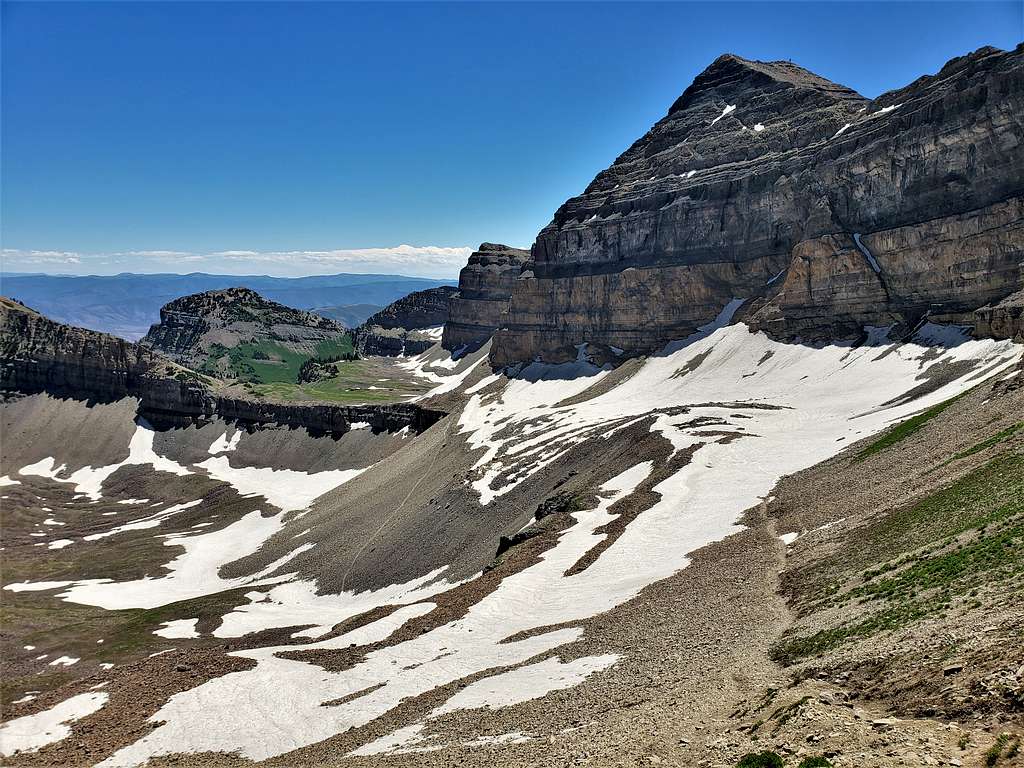
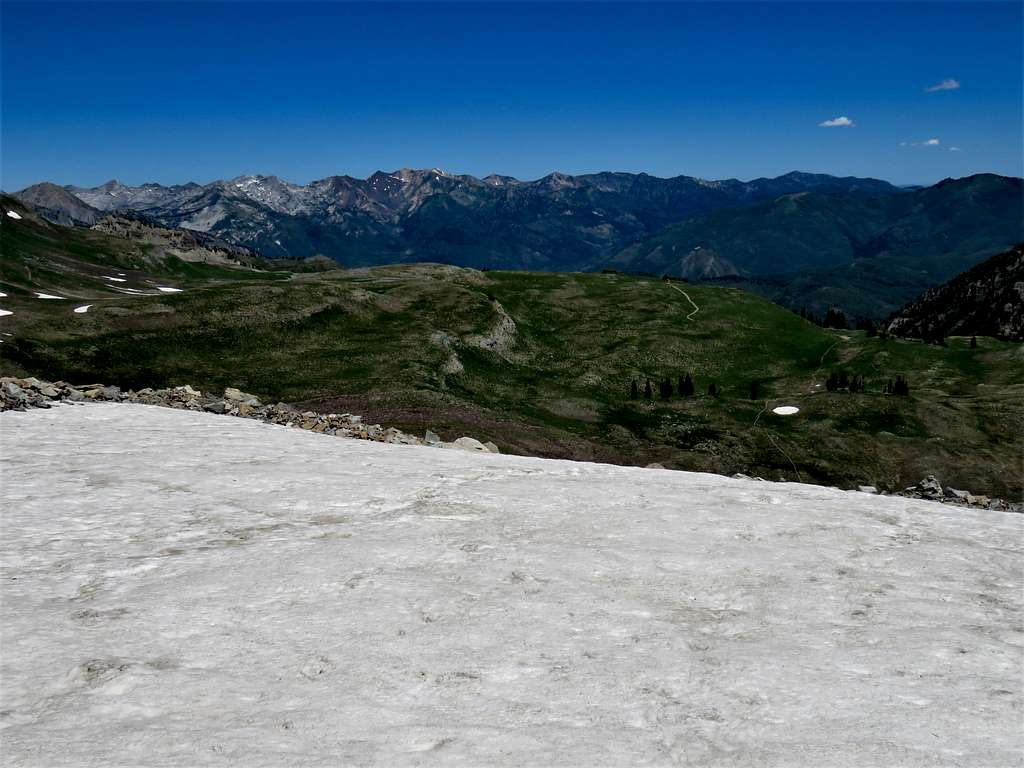
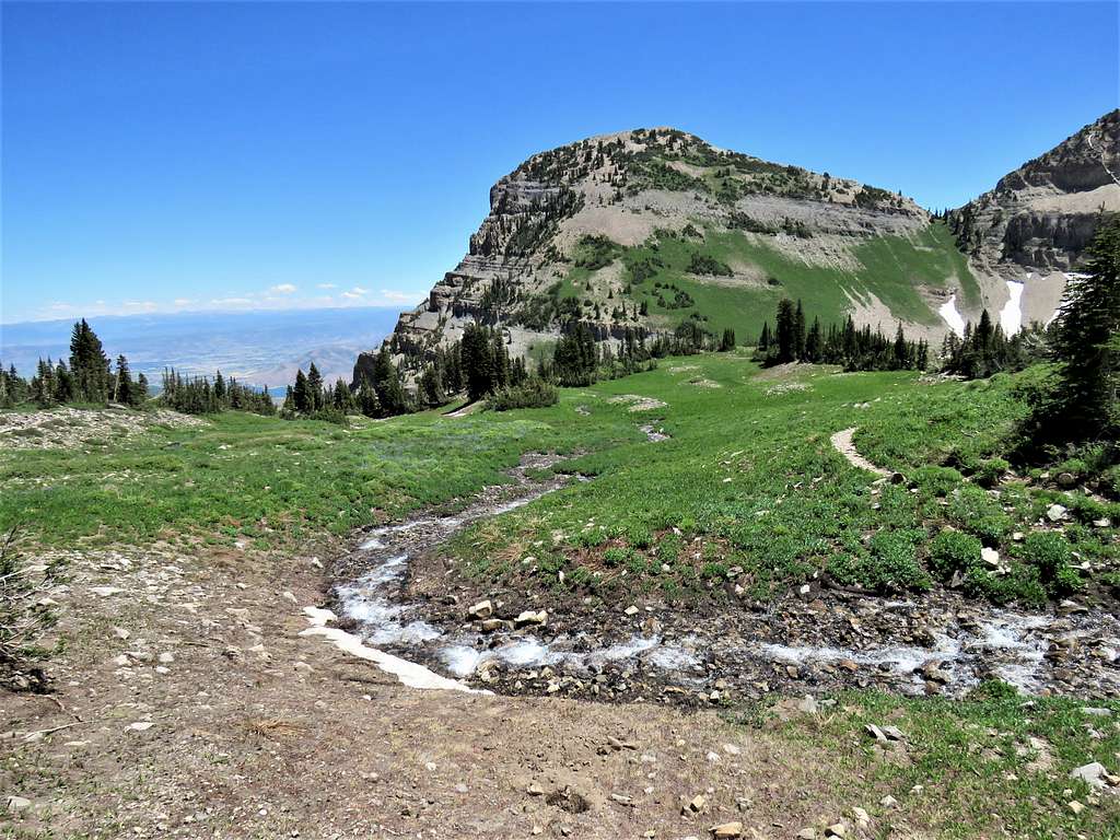
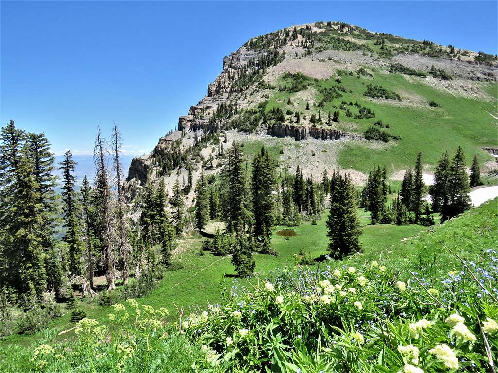
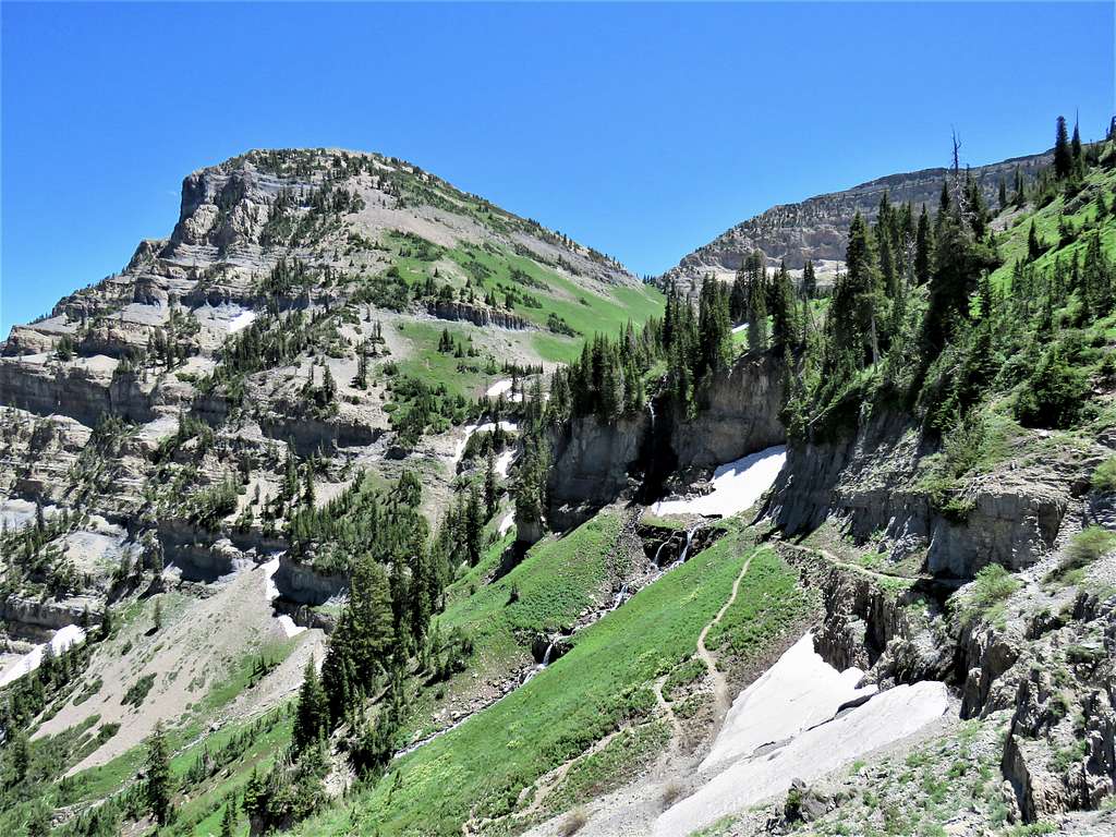
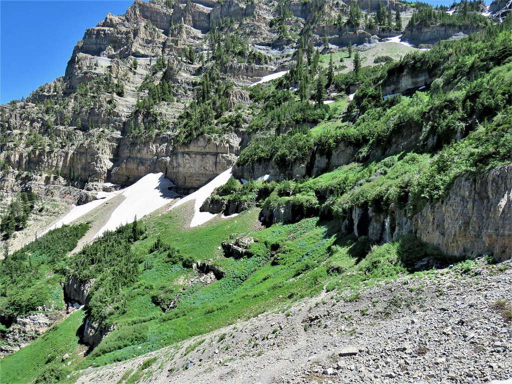
At around 8300 ft elevation, I entered a beautiful basin. Was running into people going up and down every now and then.
Lower basinLower basinLower basinLower basin
Another view north.
Twin Peaks, Sugarloaf, Devils Castle etc.
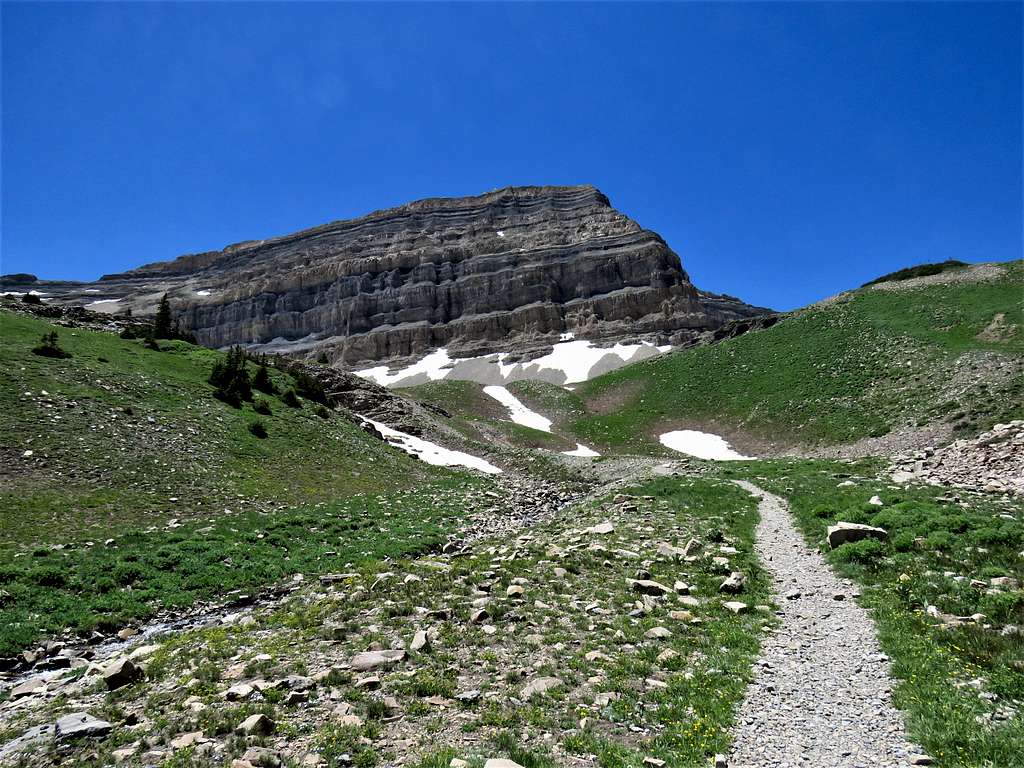
At around 7:50 AM, the sun rose on me making me worry about heating up. Stopped in a place to apply sunscreen and drink water. Shortly after that, the trail made a switchback traversing up an east facing talus field under the full strength of the morning sun. Fortunately, trees appeared again soon.
Timpooneke Trail
Looking north.
Box Elder, Pfeifferhorn, White Baldy, Twin Peaks etc
Crossing what looked like an avalanche field.
Crossing avalanche remains
View of North Timpanogos.
North TimpanogosNorth Timpanogos
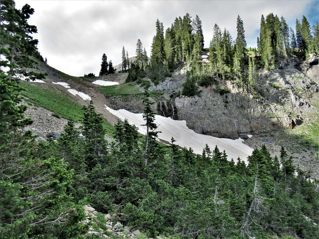
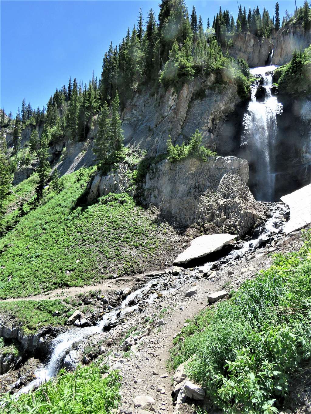
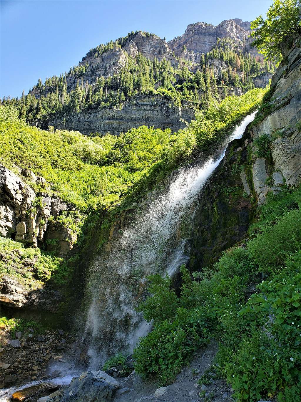
Twin falls.
Waterfall
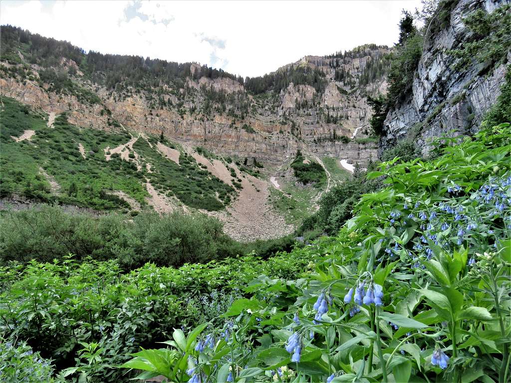
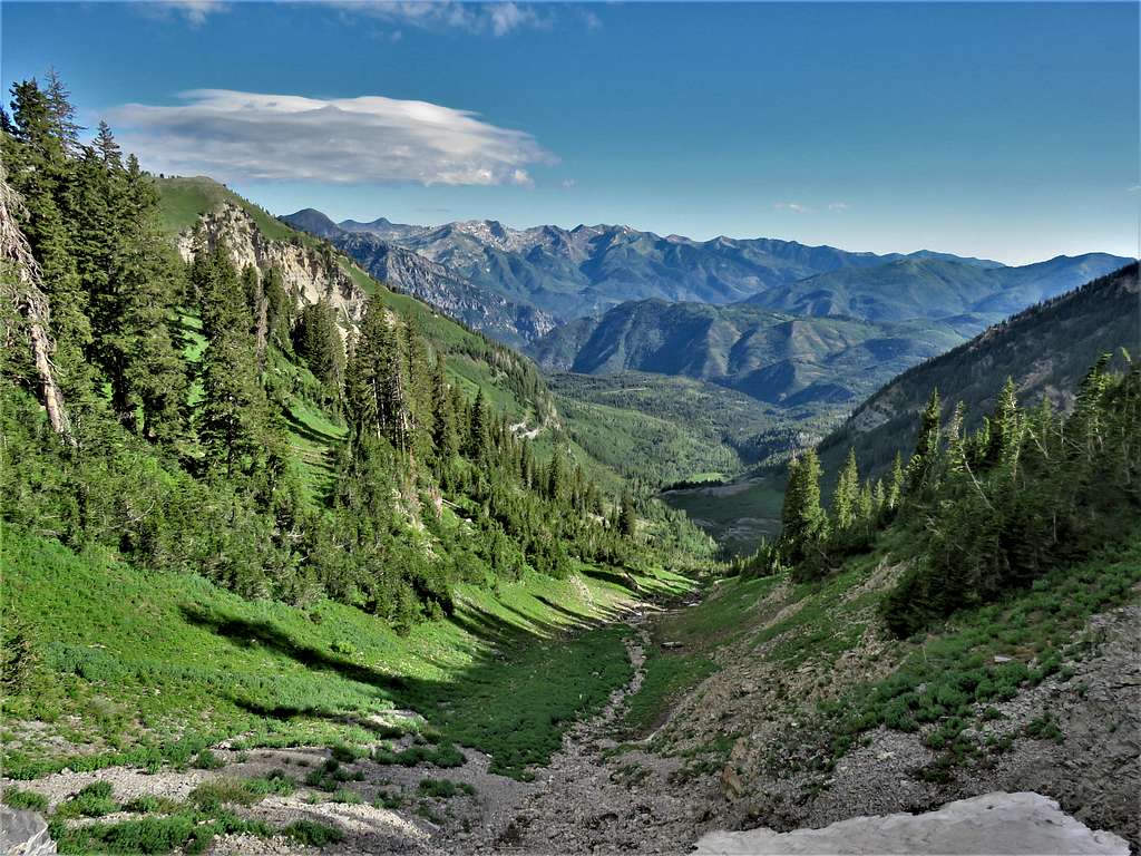
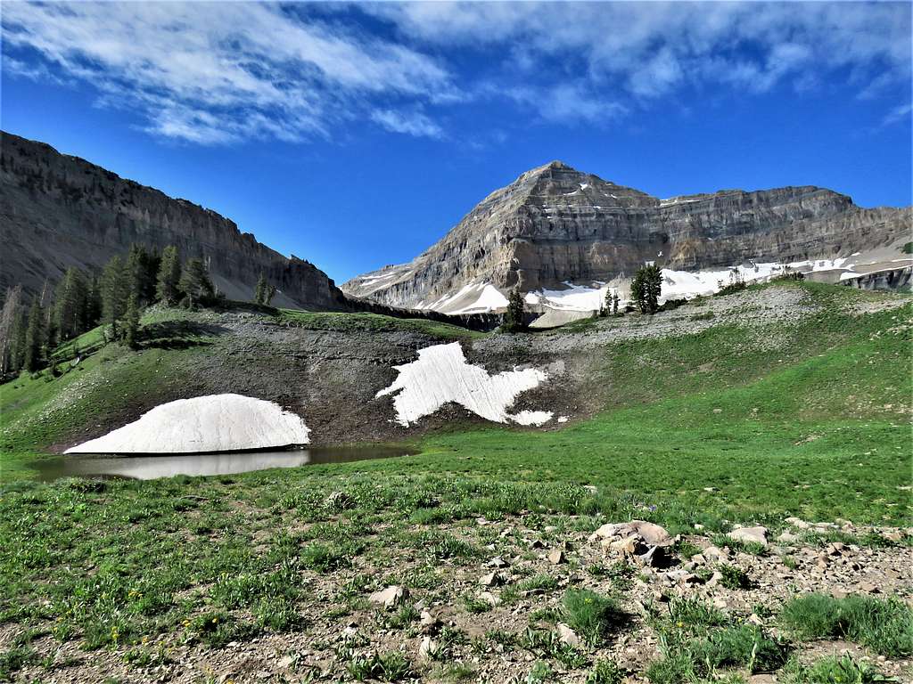
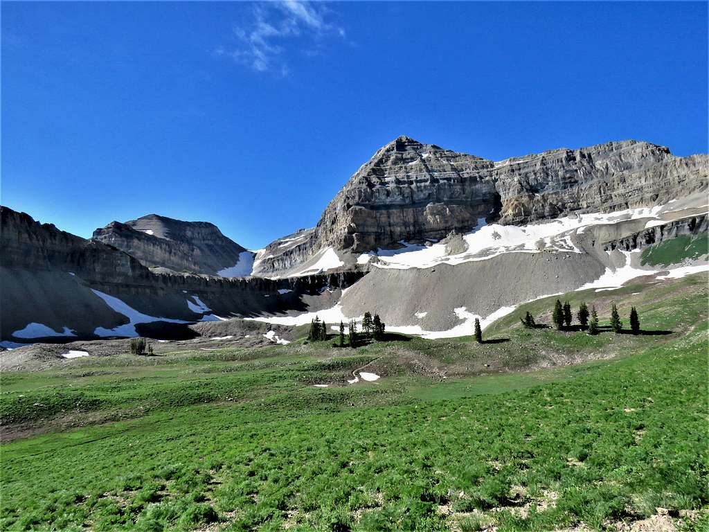
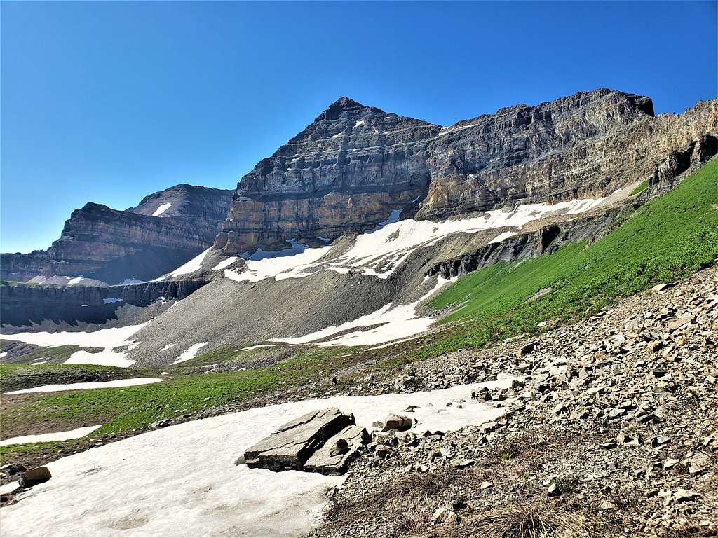
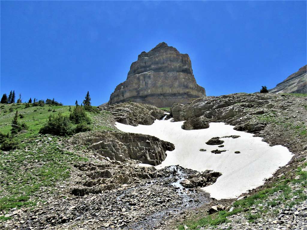
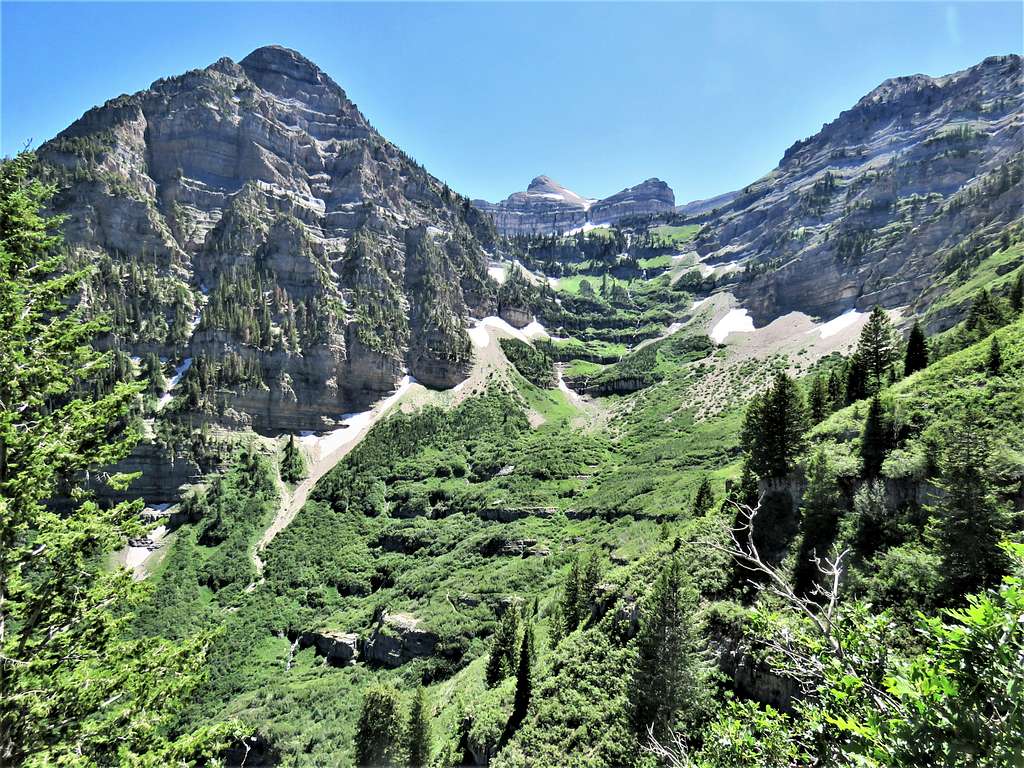
At around 10 000 ft elevation, I entered a beautiful large basin called Timpanogos Basin. The summit of Mt. Timpanogos came to view.
Mount Timpanogos and Timpanogos Basin
Tarn.
Tarn
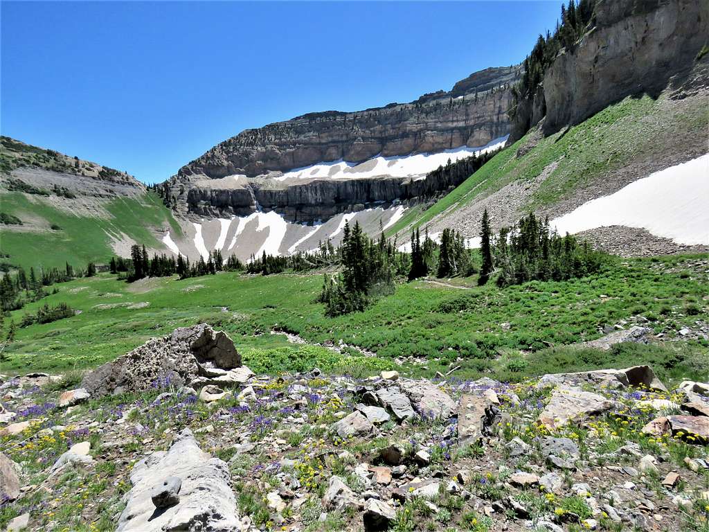
Mount Timpanogos and South Mount Timpanogos. The valley where the glacier used to be seen between the two summits.
Mount Timpanogos and South Timpanogos
Hiking up the basin.
Timpanogos Basin
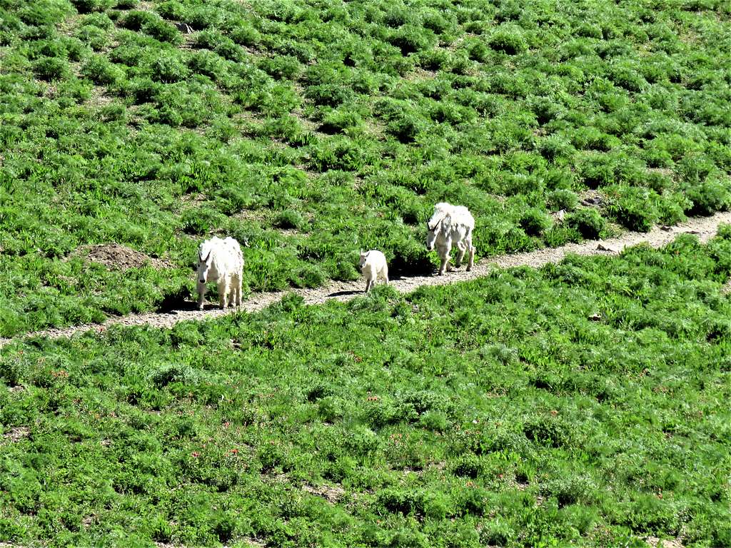
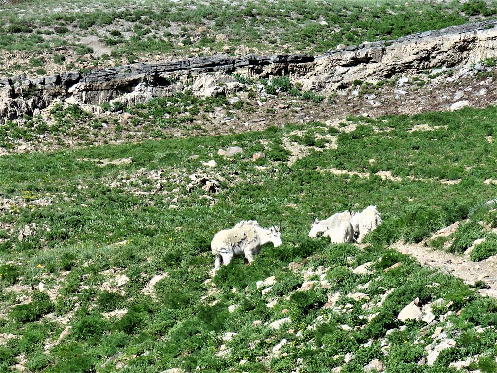
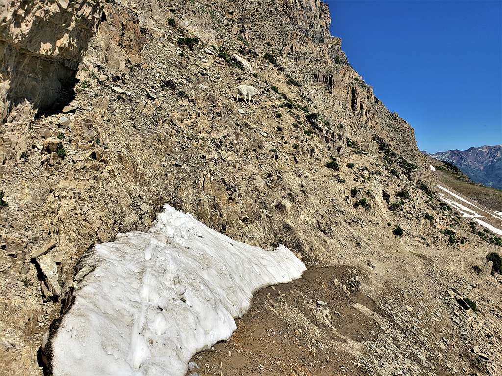
Mountain Goats.
Mountains GoatsMountain Goats
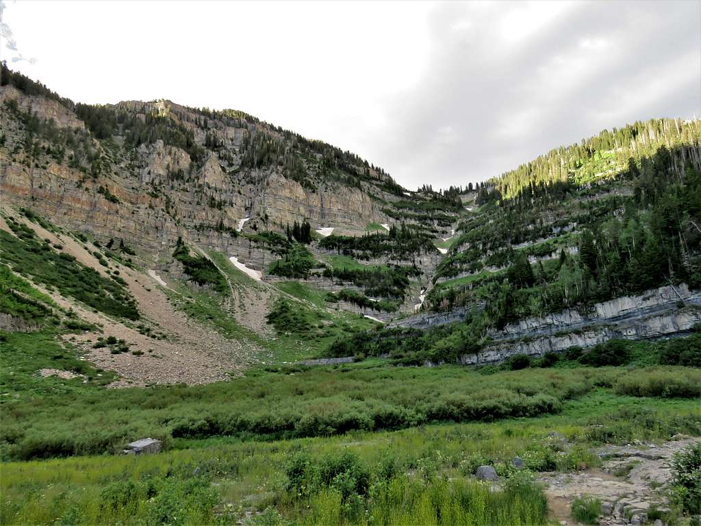
Upper Timpanogos Basin.
Upper Timpanogos Basin
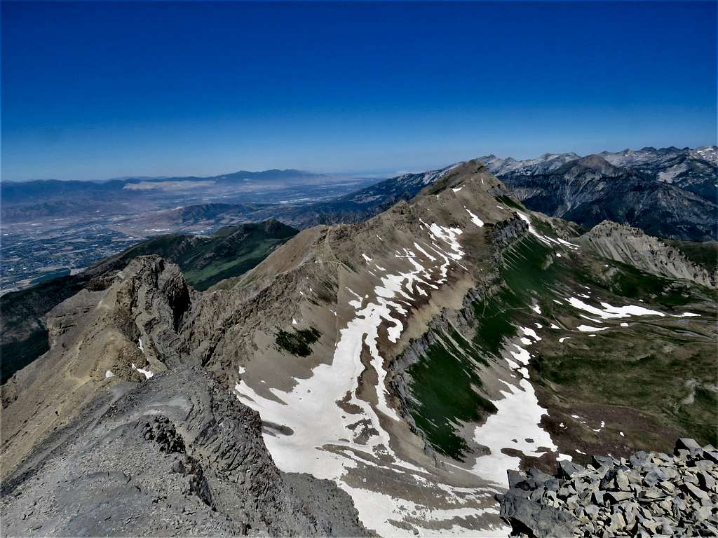
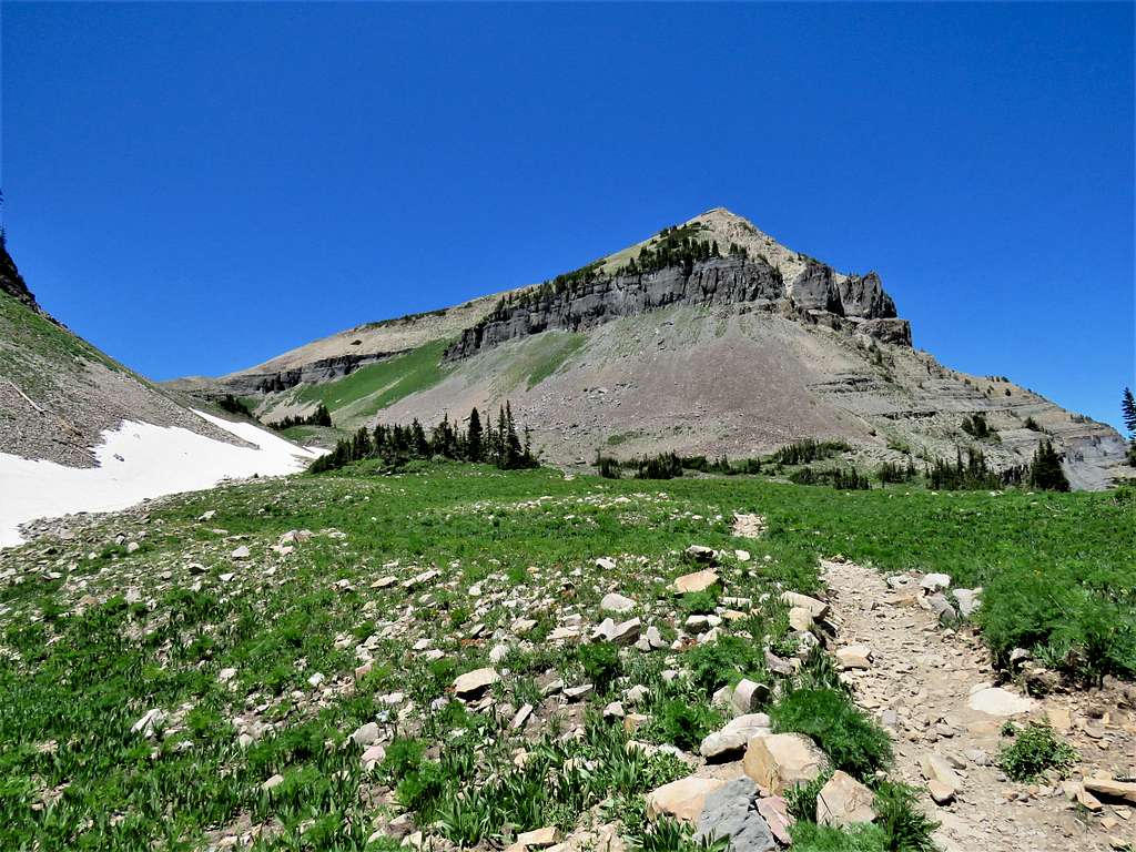
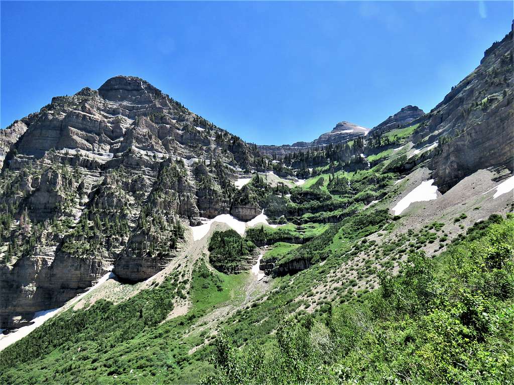
Mount Timpanogos and Mount Timpanogos South.
Timpanogos and South Timpanogos
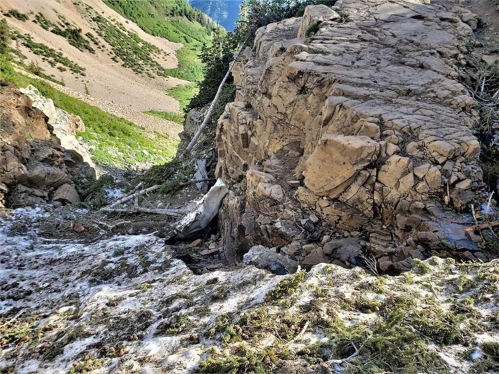
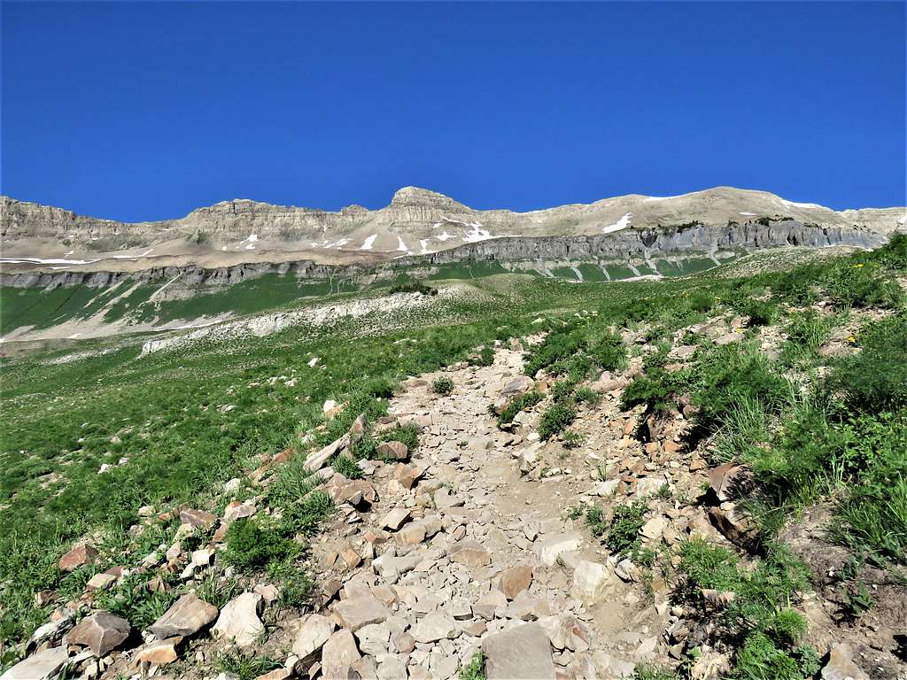
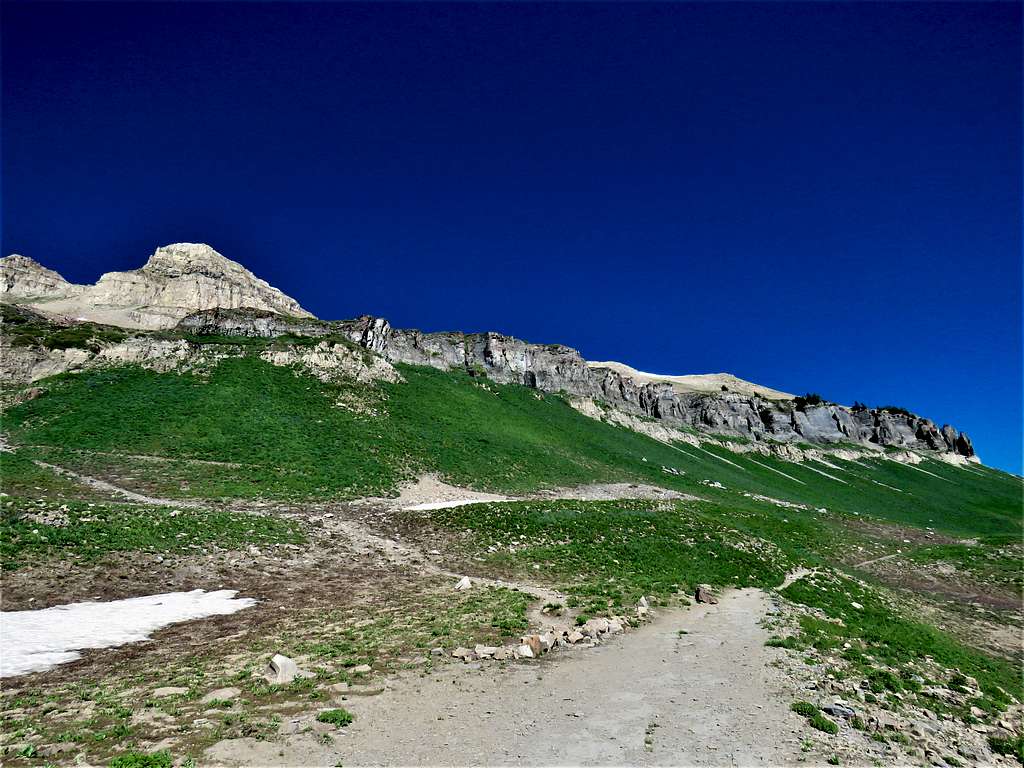
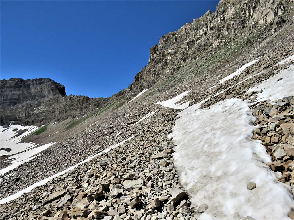
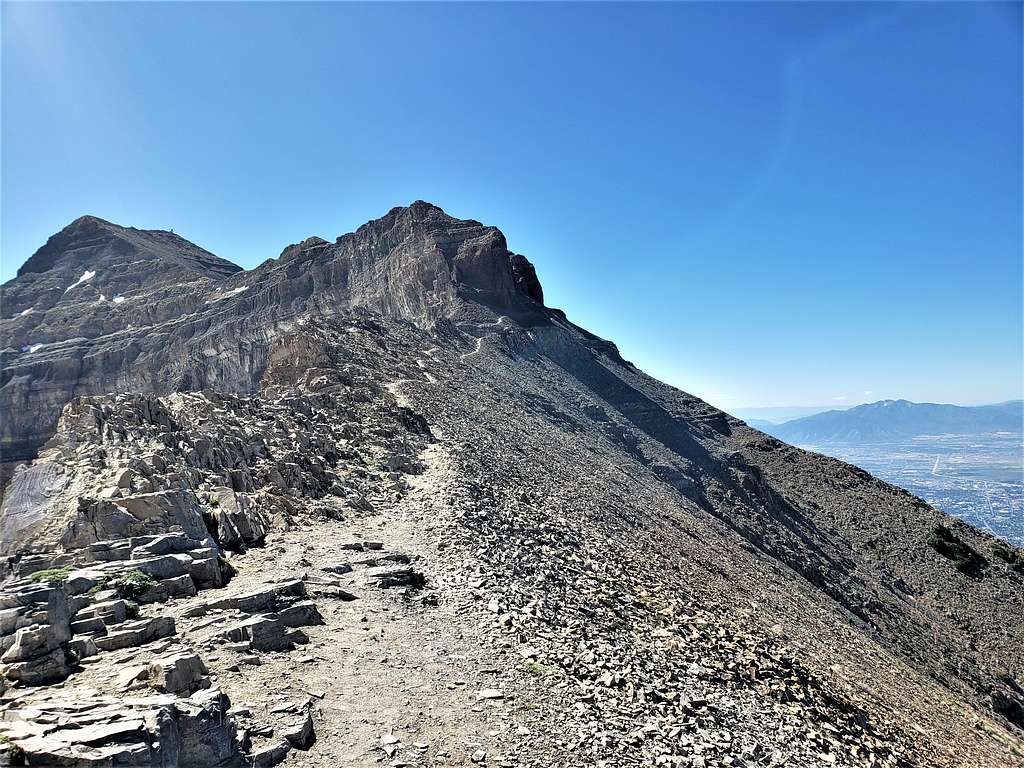
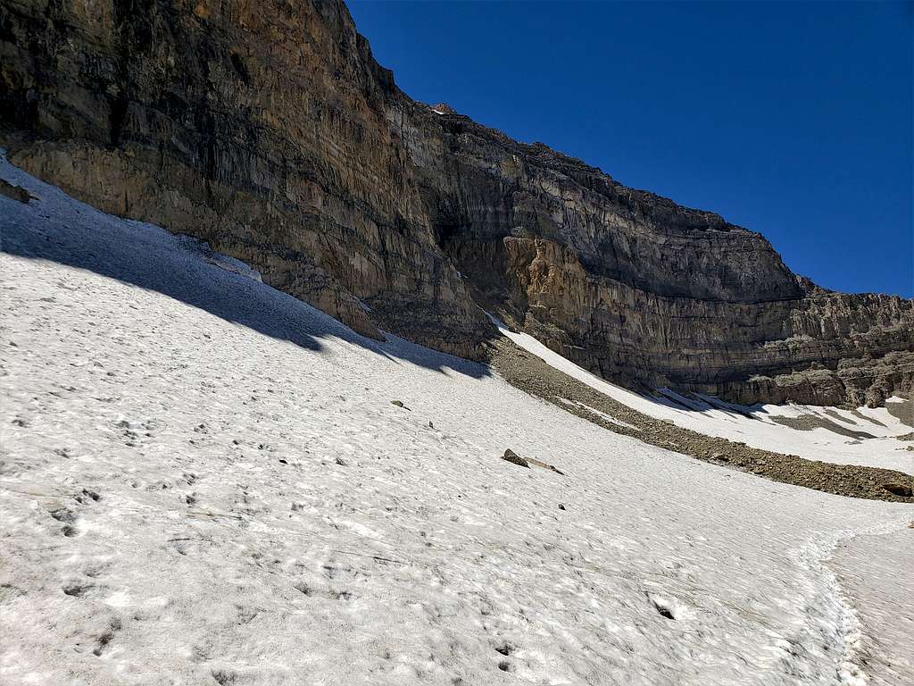
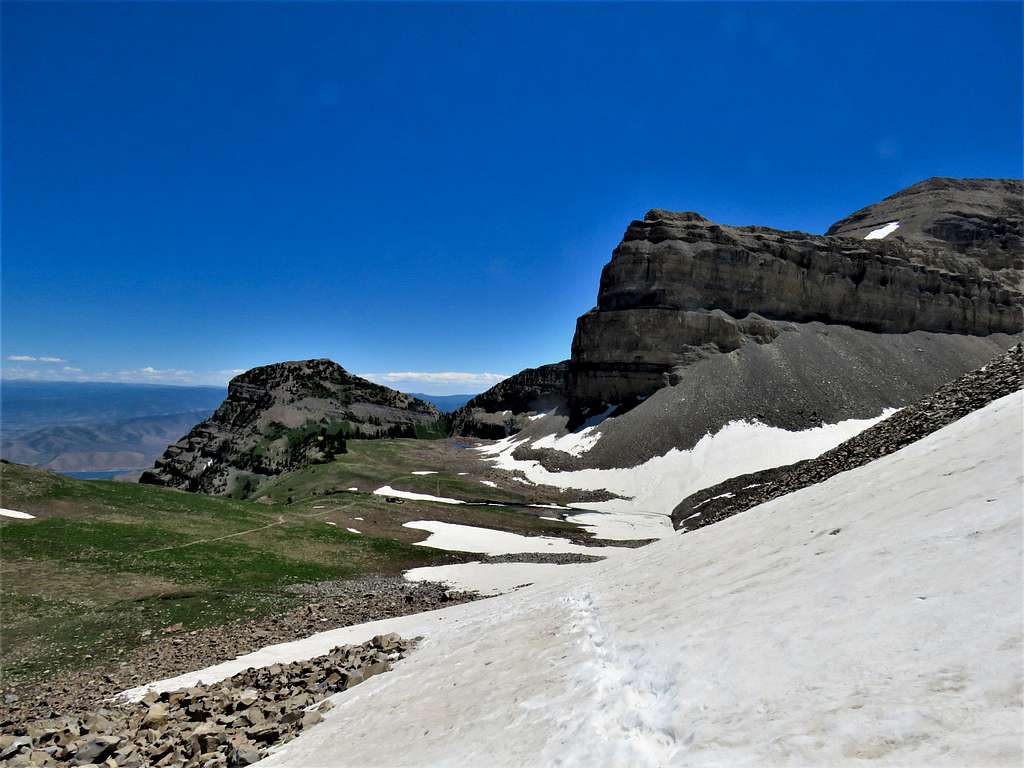
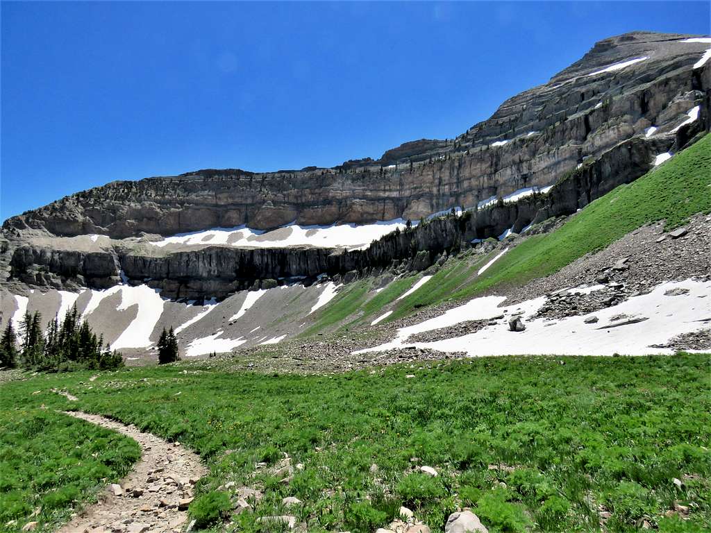
The trail then began to traverse a talus field going toward a 11060 ft saddle.
11060 ft saddle
A patch of snow covered a portion of the trail. As I was negotiating the muddy steep slippery slopes below the snow, a mountain goat suddenly ran up the cliffs above the snow causing a small rockfall. Fortunately, I did not get hit.
Goat creating a rock slide on me
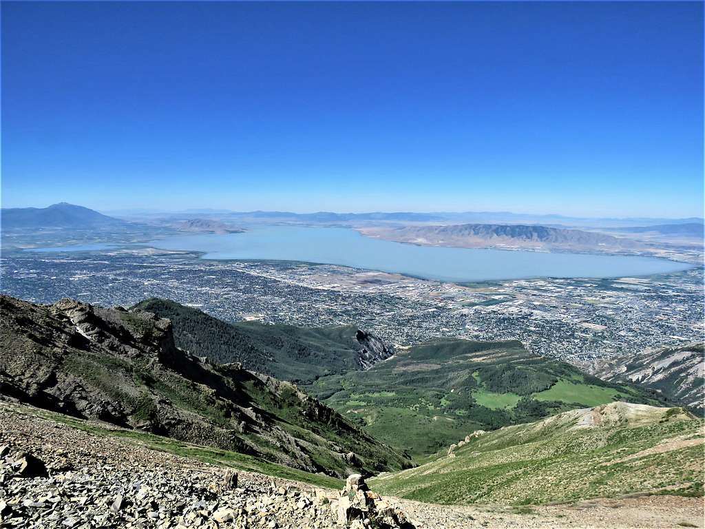
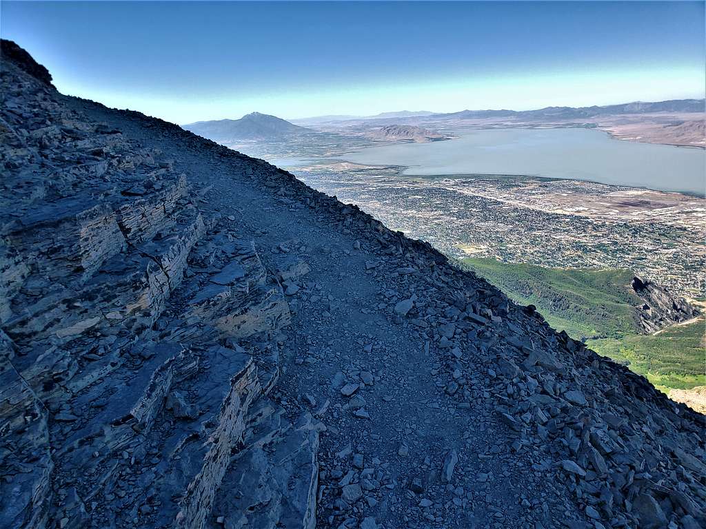
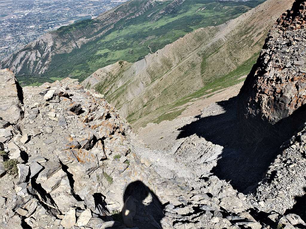
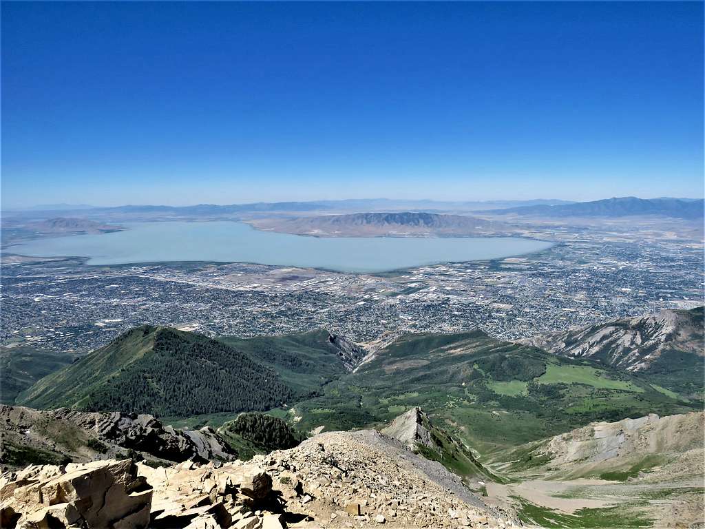
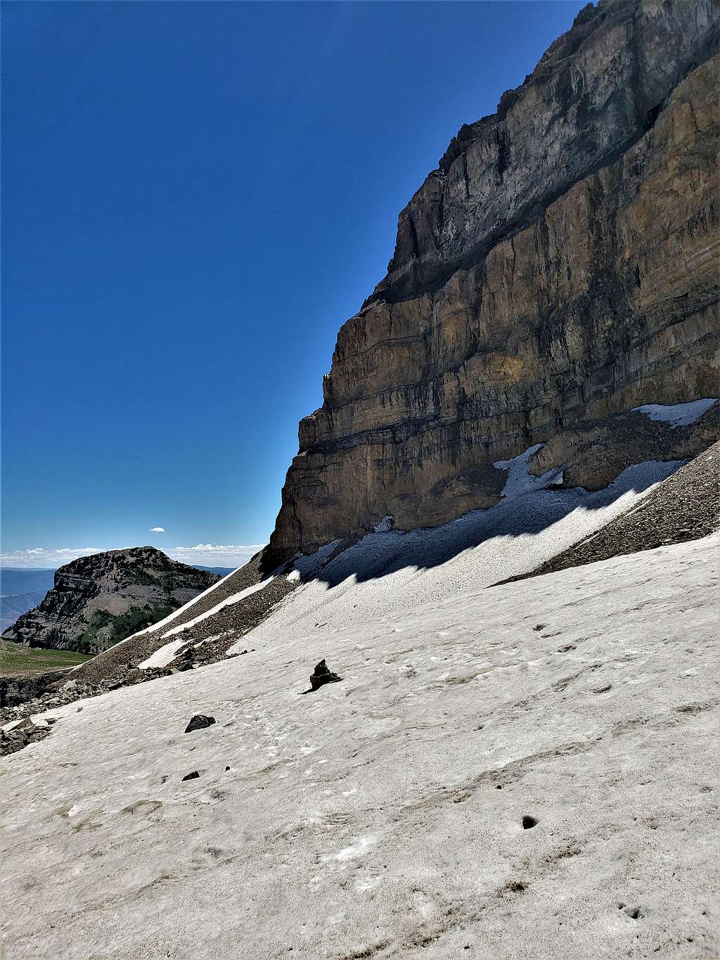
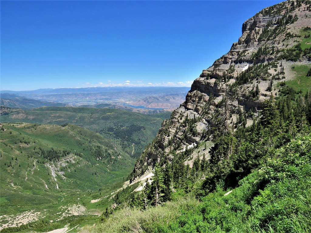
Went past the junction with Aspen Grove Trail and at 10:20 and 6.25 miles, I reached the 11060 ft saddle. Utah Lake (4488 ft) and the sprawling city suddenly appeared to the east. A cold wind began to blow and continued until I was back at the saddle.
Utah Lake and the city from the 11060 ft saddle
Summit from the saddle.
Summit from the 10060 ft saddle
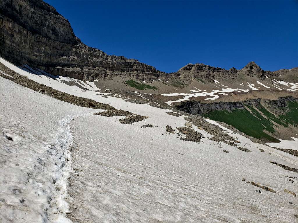
Continuing on the trail.
Trail to summit
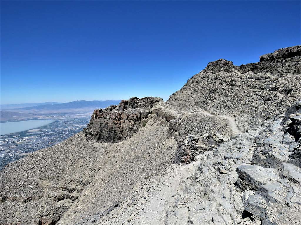
It suddenly looked like I could not find the trail anymore. It turned out that the trail zigzagged up a narrow couloir. Looking down from the top of the couloir.
Top of couloirTop of couloir
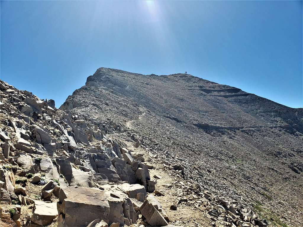
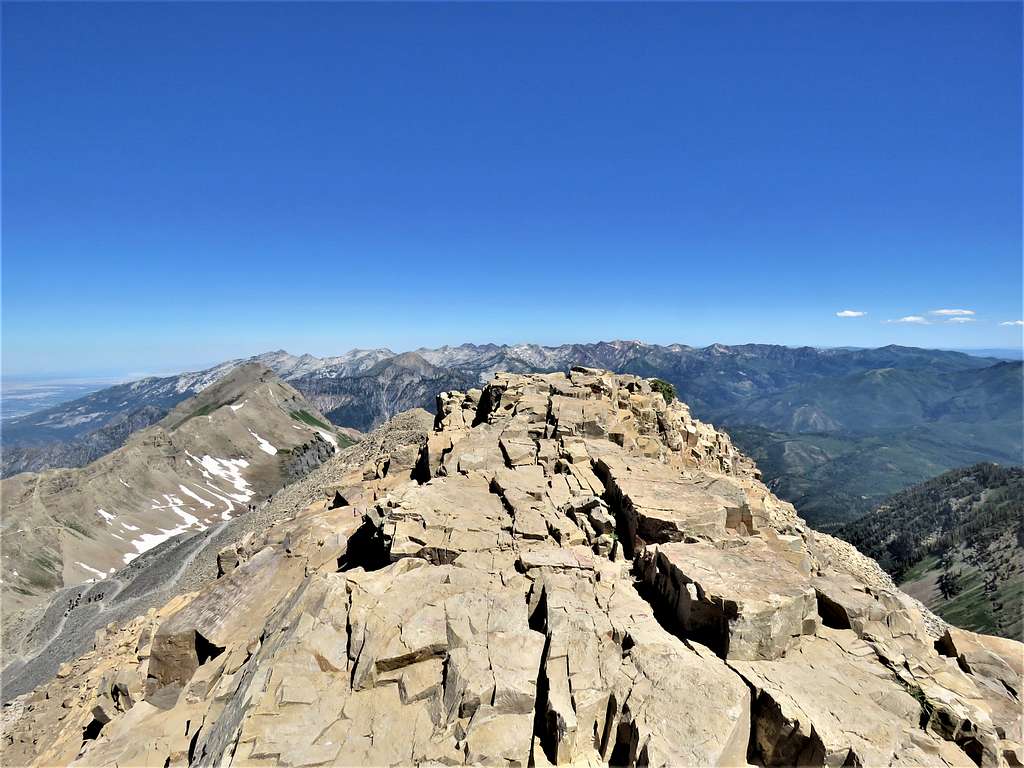
Ran into a few people coming down the trail. Was hoping not to see a big crowd on the summit. Final push to the summit.
Summit of Mt. Timpanogos
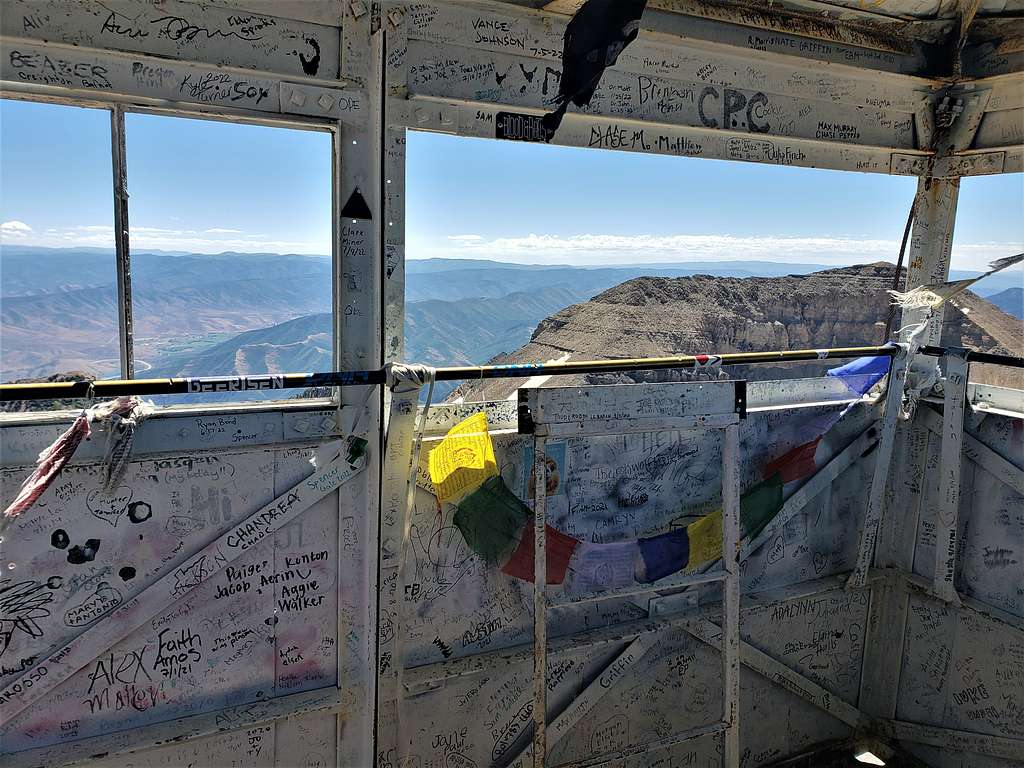
Reached the summit at 11:07 AM and 7.40 miles of hiking. Nobody was in the summit cabin. A couple were outside sheltering from the wind behind the rock. I put on my raincoat and began to take pictures before other people came. View from inside the summit cabin.
Inside summit cabin
Looking north. North Timpanogos, Box Elder, Lone Peak, Pfeifferhorn, White Baldy, American Fork Twin Peaks and many others.
Lone Peak, Box Elder, Twin Peaks and others
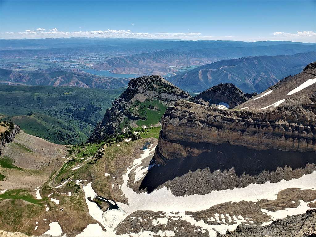
Looking west at Emerald Lake and the valley of the old glacier. The Shoulder, Elk Point and Deer Creek Reservoir seen.
Emerald Lake, The Shoulder, Elk Point, Deer Creek Res.
Mount Timpanogos South and The Shoulder.
South Mt. Timpanogos
Looking south at Mt. Nebo, Provo Peak and others.
Provo Peak, Mt. Nebo
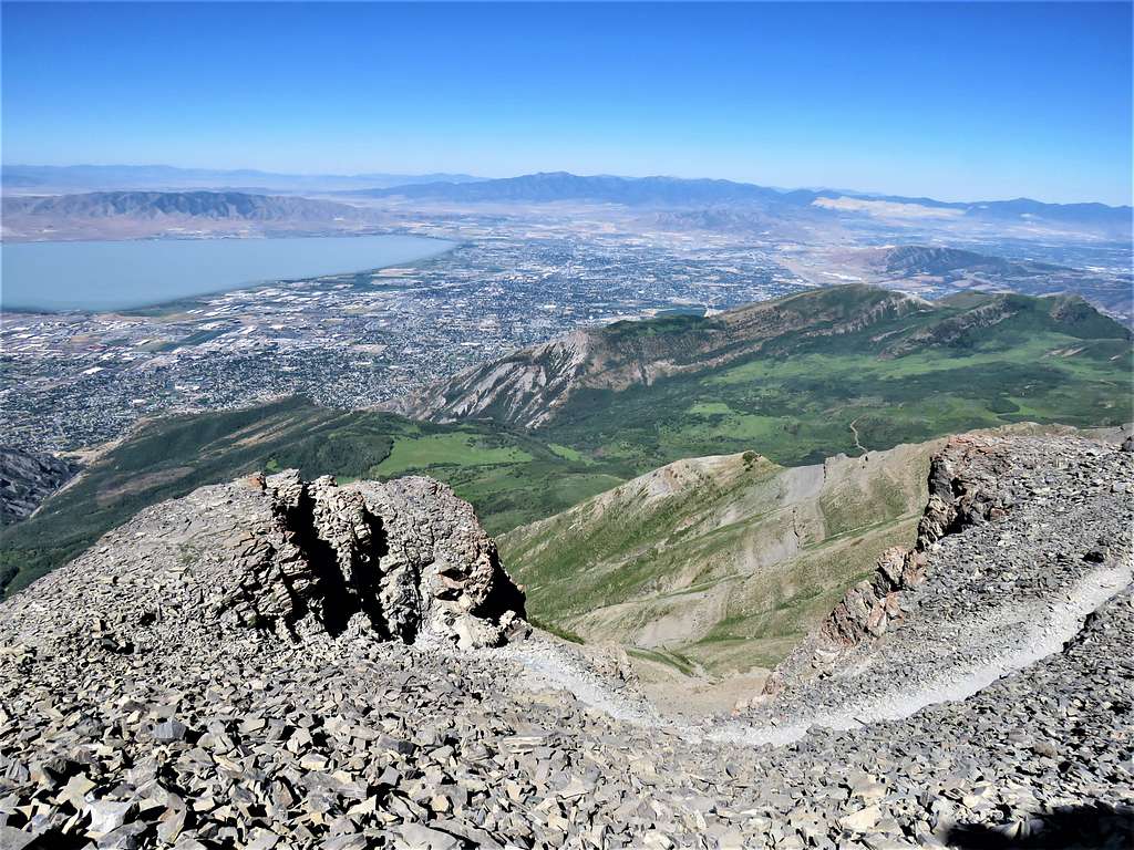
Zoomed view of Mt. Nebo, Utah Lake and the city.
Zoomed view of Mt. Nebo, Utah Lake
Utah Lake and the city to the east.
Utah Lake and the city
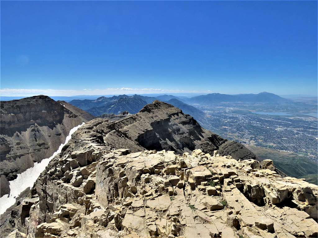
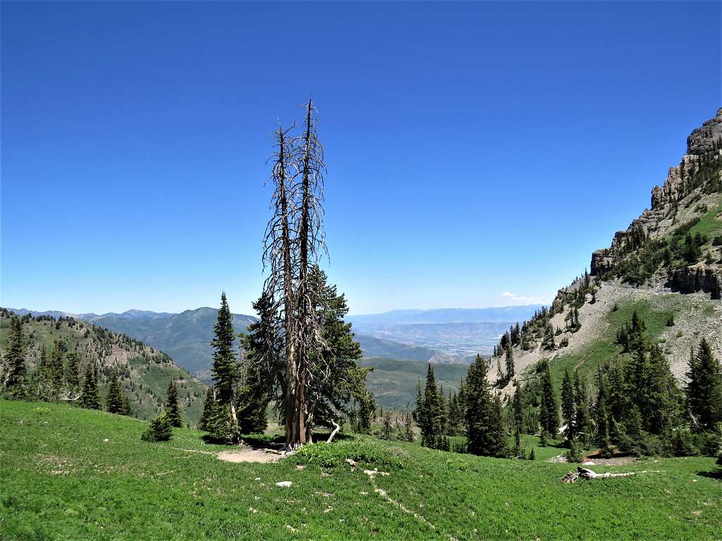
Many people came to the summit as I was having my lunch. Called my wife and said to expect me around 4:30 PM or so. Left the summit at 11:30 AM going back down the way I had come up. A better view of North Timpanogos.
North Mt. Timpanogos
On the trail.
Mt. Timpanogos Trail
Reached the 11060 ft saddle at 12:08 PM and 8.23 miles. Sat there to rest for a few minutes. Cold wind stopped. I then went down to the junction and got on Aspen Grove Trail. In the back of my mind, I was a little concerned that if I were to reach an impassable obstacle, I would have to go back to the junction and return via Timpooneke Trail that I had come up from. Depending on how far down, the obstacle might be, that might mean spending the night on the mountain. Fortunately, no obstacles appeared. While I had seen people fairly frequently on Timpooneke Trail, I saw only 3-4 groups of people for the 4 hours that I was on Aspen Grove Trail. Mt. Timpanogos from Aspen Grove Trail.
Summit of Mt. Timpanogos
Got on a big snow field at the base of a wall. Not quite the same but reminded me of Alam Kooh in Iran.
The wall of Mt. TimpanogosThe wall of Mt. TimpanogosThe wall of Mt. Timpanogos
Looking north.
Looking north
Emerald Lake came to view.
Emerald Lake, The Shoulder and Elk Point
Went down to reach the 10380 ft Emerald Lake at 1:04 PM and 9.32 miles of hiking. The valley where the now melted Timpanogos Glacier used to sit could be seen above the lake.
Valley of the old glacier, Emerald Lake and The ShoulderValley of the old glacier, Emerald Lake and The Shoulder
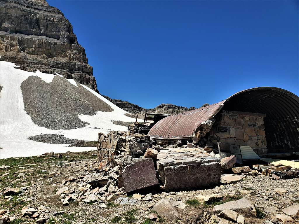
Saw the remains of a collapsed shelter. Did not know what happened to it, avalanche or movement of the rock glacier below (just like the old collapsed shelter on Alam Chal rock glacier in Iran).
Destroyed shelter by Emerald Lake
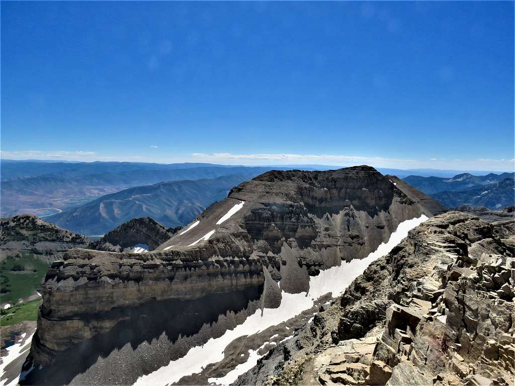
Continuing down, looking back at the wall of Mt. Timpanogos and The Shoulder, which appeared as a horn.
Wall of Mt. Timpanogos, terminal moraine of old glacierThe Shoulder
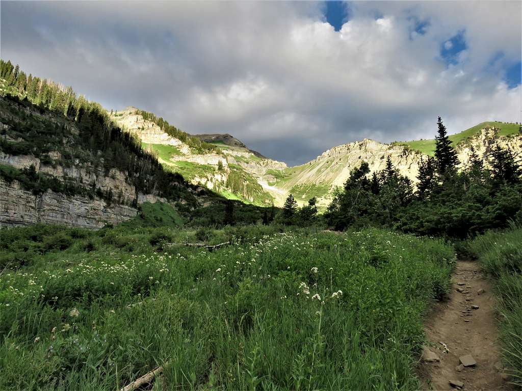
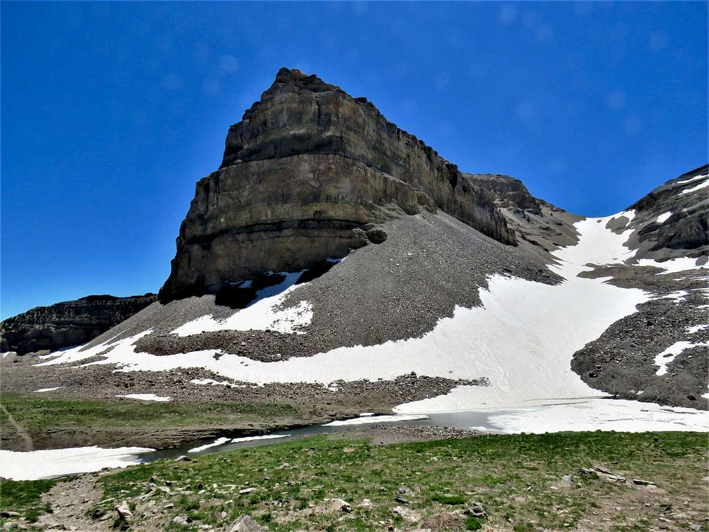
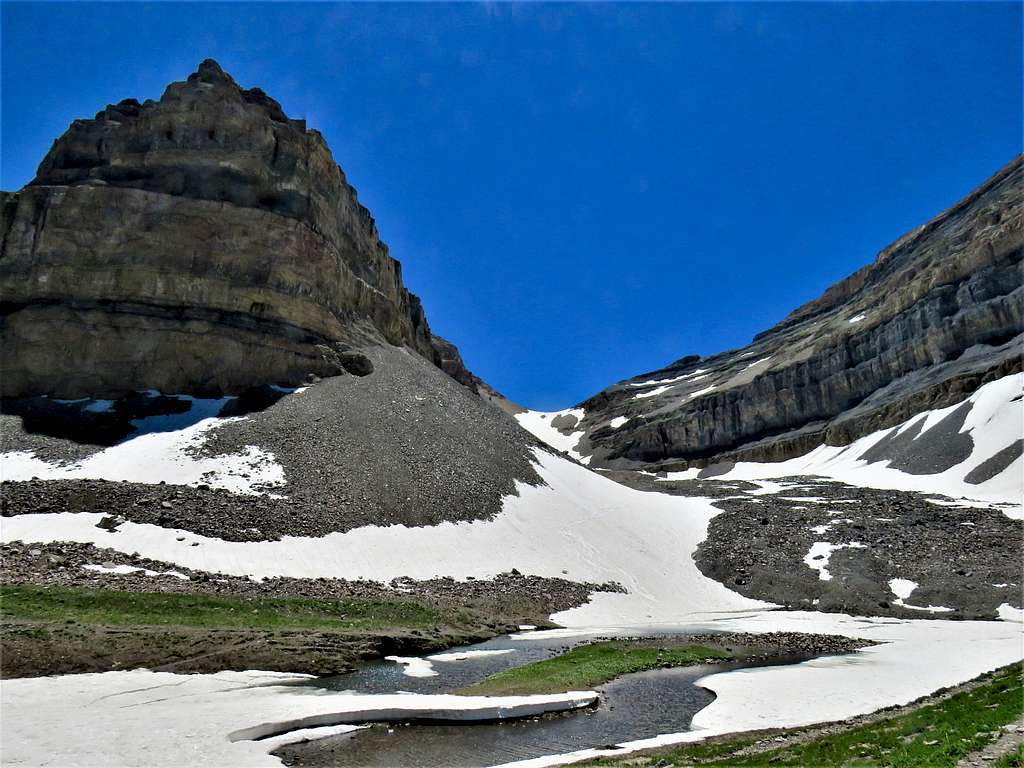
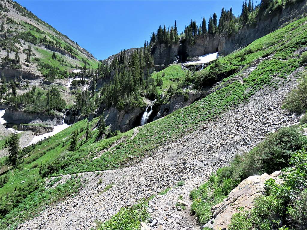
At around 9900 ft, I reached a big basin called Lost Lakes, a true alpine heaven.
Having descended a good 1900 vertical feet below the summit to reach 9800 ft elevation, I was suddenly confronted with the view of the additional 3000 vertical feet that I still had to descend.
3000 ft to descend
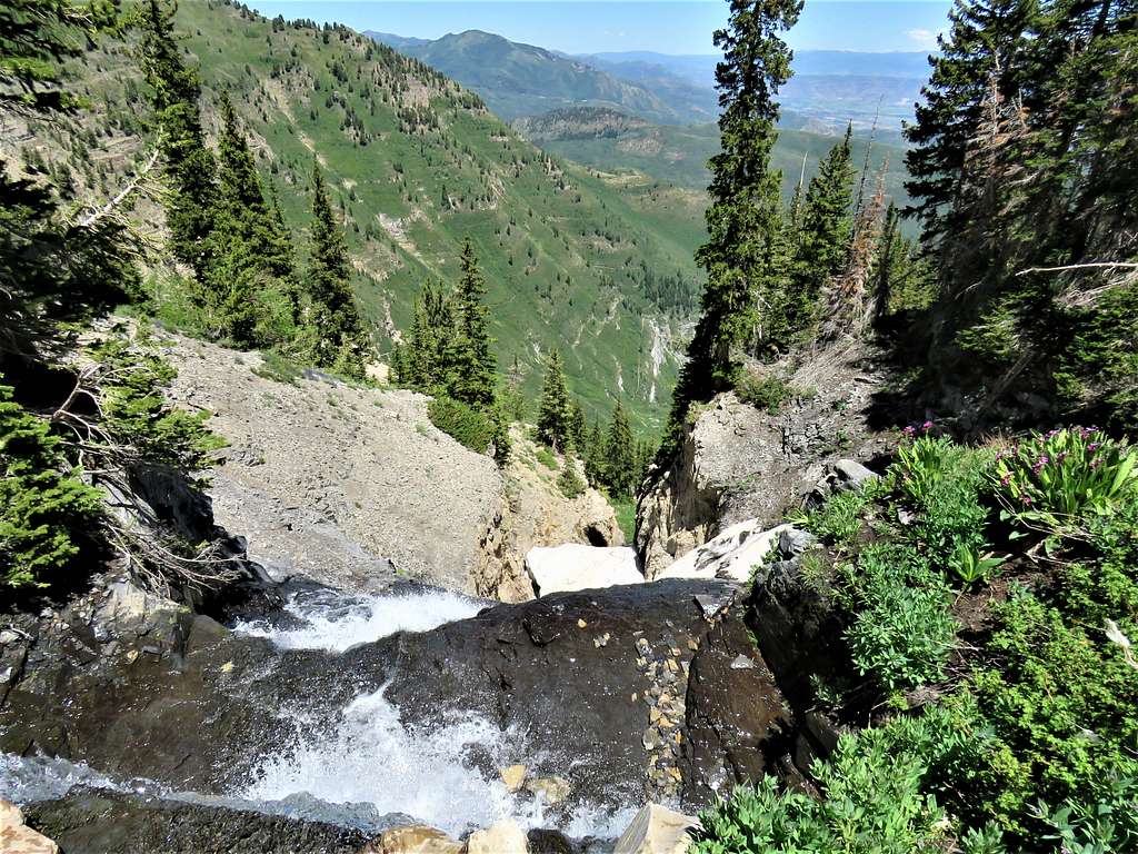
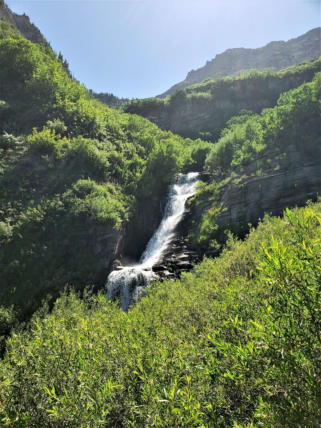
The seemingly endless switchbacks started. View from the top of the first waterfall. Little did I know that for the next 3000 vertical feet, I would see one waterfall after another.
Top of waterfall
Still far above.
3000 ft to descend
String of cascades and waterfalls.
Elk Point and waterfallWaterfallFalls CascadesWaterfall
Had a 10-minute rest at 9250 ft elevation. Called wife and informed her of my progress.
Wall of Elk Poin
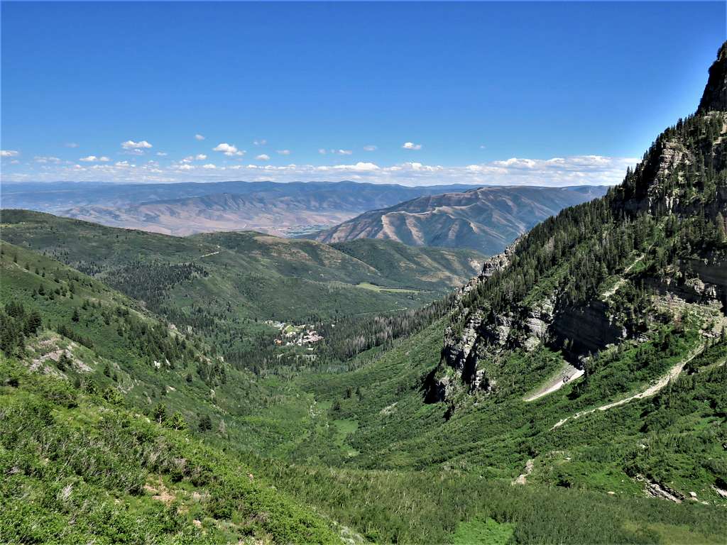
Buildings near Aspen Grove came to view making me think that I did not have much more to go but I was still at 8700 ft elevation, 1900 more vertical feet to go.
Trailhead area seen
Further down.
Trailhead area seen
Looking back up at Mt. Timpanogos South, The Shoulder and Elk Point.
South Mt. Timpanogos & Elk PointSouth Mt. Timpanogos and Elk Point
Lower slopes.
Lower trail
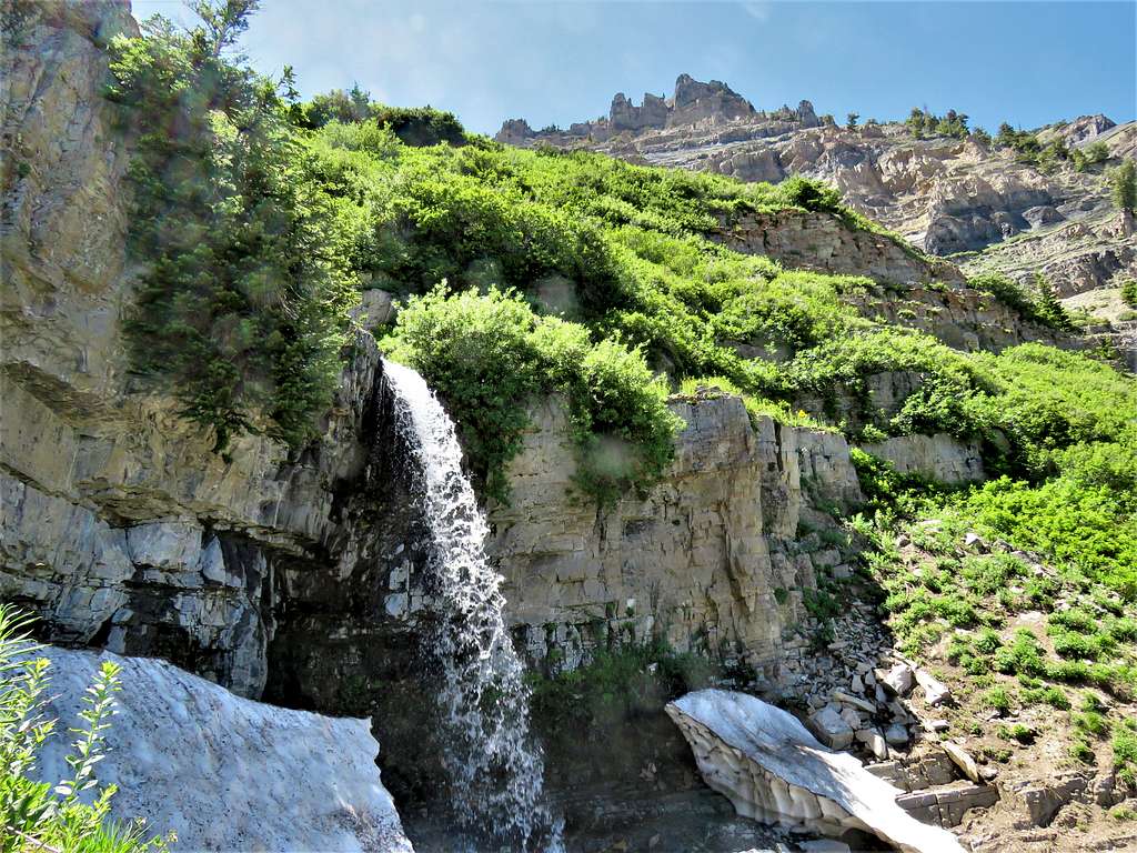
More waterfalls.
WaterfallWaterfall
Nothing like finding the lovely wife waiting for you at the trailhead, 4:24 PM, 15.01 miles.
You did a great job capturing this beautiful mountain. I've climbed Timp over a dozen times and it amazes me every time. The last time I did the Timpooneke to Aspen Grove route, my friends and I attempted to slide down (what was left of) the glacier, with much discomfort. Thanks for sharing! It makes me homesick.
Parents refers to a larger category under which an object falls. For example, theAconcagua mountain page has the 'Aconcagua Group' and the 'Seven Summits' asparents and is a parent itself to many routes, photos, and Trip Reports.


Comments
Post a Comment