
Comments
No comments posted yet.
|
|
Trip Report |
|---|---|
|
|
43.97950°N / 121.6887°W |
|
|
Sep 5, 2019 |
|
|
Hiking |
The 9065 ft high Mt. Bachelor is a conical volcano near Bend Oregon which serves as Oregon’s largest ski area. During the summer months, a well established trail can be followed to its summit.
Elevation at Starting Point: 6350 ft
Summit Elevation: 9065 ft
Roundtrip Distance: 7.15 miles
Forecast had called for rain after 3 p.m. but when Kris and I left the vacation rental home in Sunriver at 6:10 a.m., it had already begun to rain. I had originally planned to park off of Route 372 at the northeastern entrance of Mt. Bachelor Ski Resort but driving through the area over the prior few days to climb other nearby mountains, I had noted what looked like a major construction project on the slopes blocking the northeastern entrance. For that reason, we drove a short distance past the northeastern entrance and parked in Dutchman Flat Parking Area.
We took our time getting ready. The rain had slowed to a trickle and looked as if the clouds were going to open up. I was still concerned about the weather and also wondered if there was something illegal about hiking through a construction zone. Was seriously considering changing the plan to climbing the lower 7775 ft Tumalo Mountain whose trailhead was right where we had parked but in the end decided to stick to Mt. Bachelor.
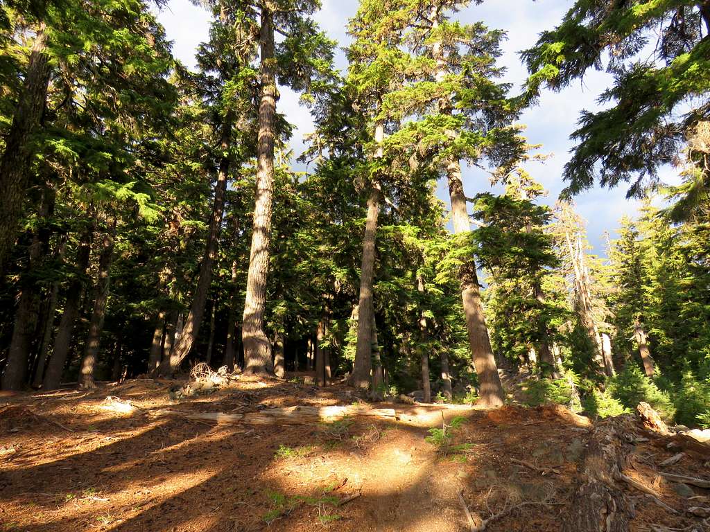
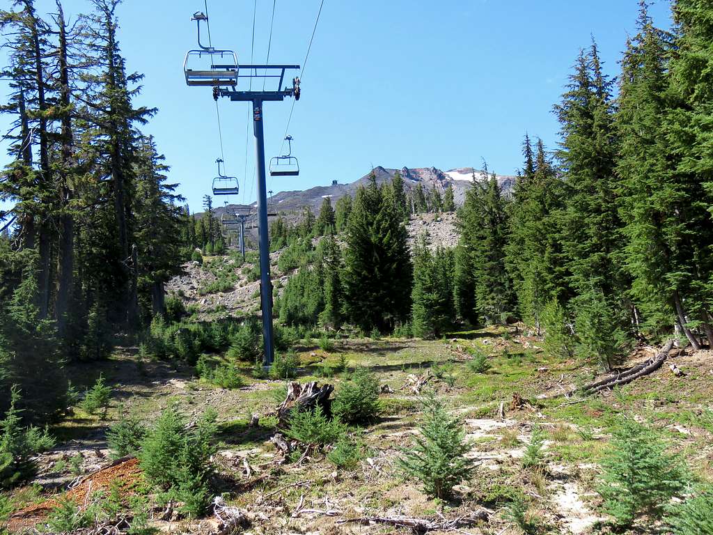
Started out hike at 7:10 a.m. a few drops of rain fell every now and then. Hiked 2000 ft along Route 372 until we reached the northeastern entrance to Mt. Bachelor Ski Area. Felt awkward walking through the loud noise of the construction and heavy equipment moving around but no one said anything to us. Got on a trail that started on the side of a ski lift and took us into the forest out of sight. A short moment of sunshine in the forest.
The trail remained mostly in the forest going up the slopes. We soon reached a three way and noted a “No Hiking” sign on the trail that we had come up from but the other two ways, one going downhill and one uphill, seemed to be well established. Continued uphill crossing a dirt road where a concrete truck was slowly going down.
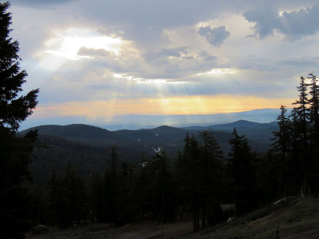
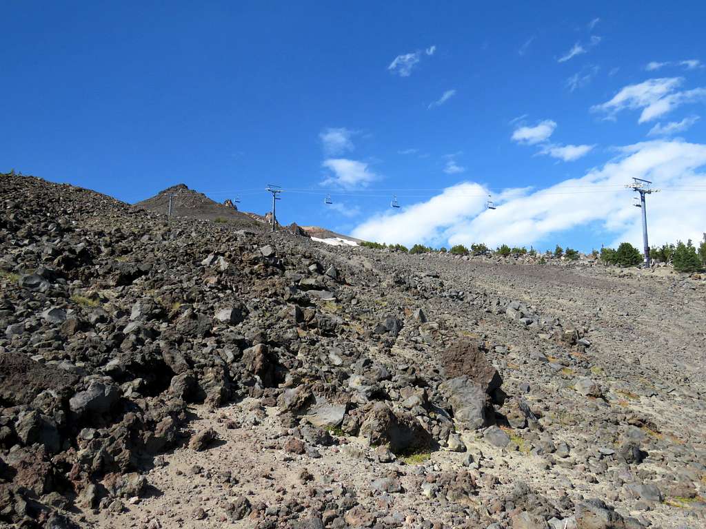
At 8:00 a.m. and 7250 ft elevation, we reached the top of a ski lift. Black clouds came and it began to rain. Kris said he would take shelter under the structures there. I gave him the Walkie Talkie and called him every 30 minutes after that. As I went higher, rain stopped and construction noise slowly faded away. Looking east at Route 372.
The trail paralleled another ski lift at some distance from it. Trees became dwarf and then went away below 8000 ft elevation. Black rock came to cover the slopes. I ran into a couple who had been to the summit and were going down. Must have had an early start.
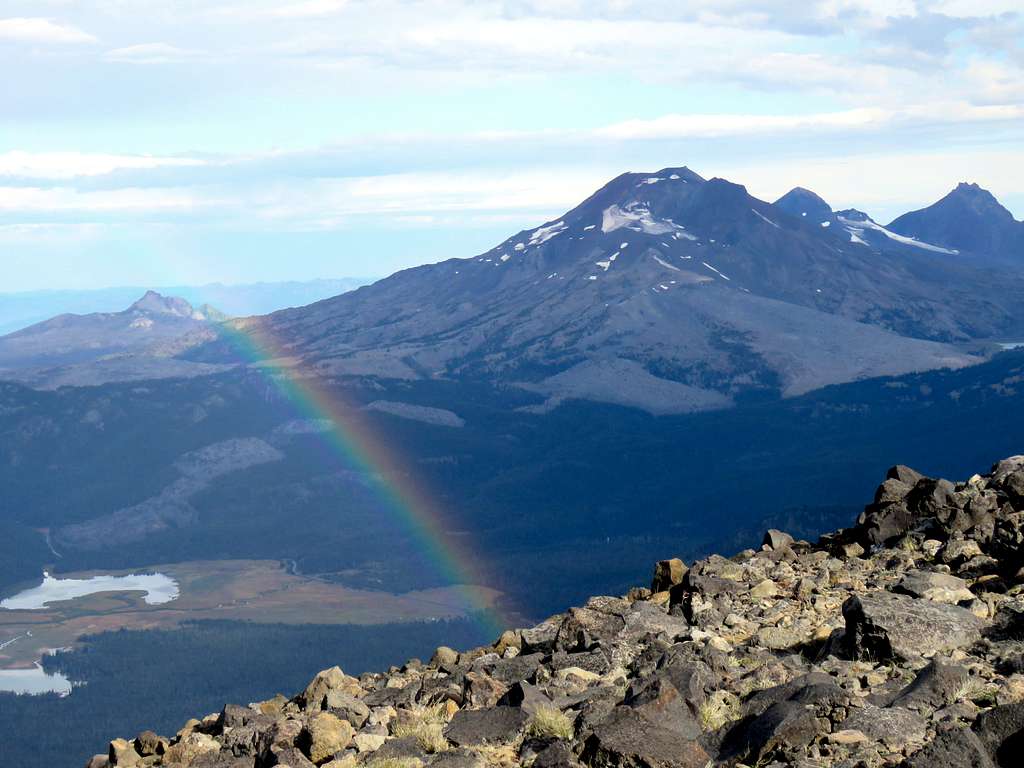
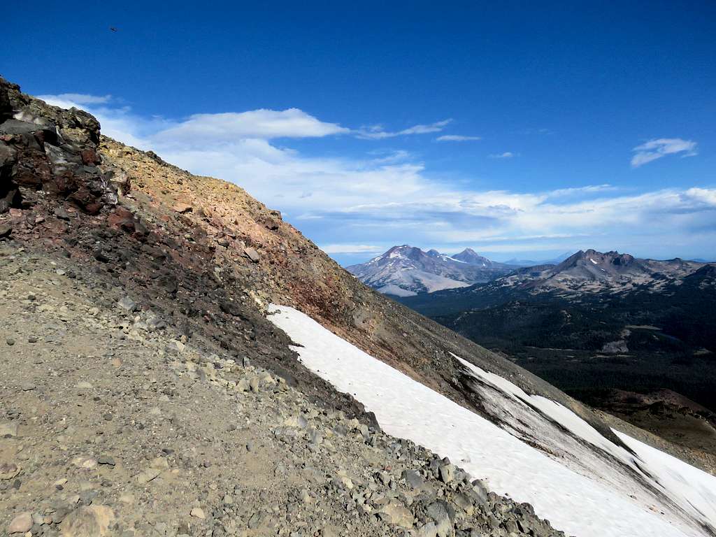
At around 8960 ft elevation, reached the top of the lift where the slope eased up. Got on a wide trail/road that took me up hills made of black boulders and gravel to reach the summit at 9:20 a.m. The sun came out and a beautiful rainbow appeared.
Sat there to have lunch and enjoy the views:
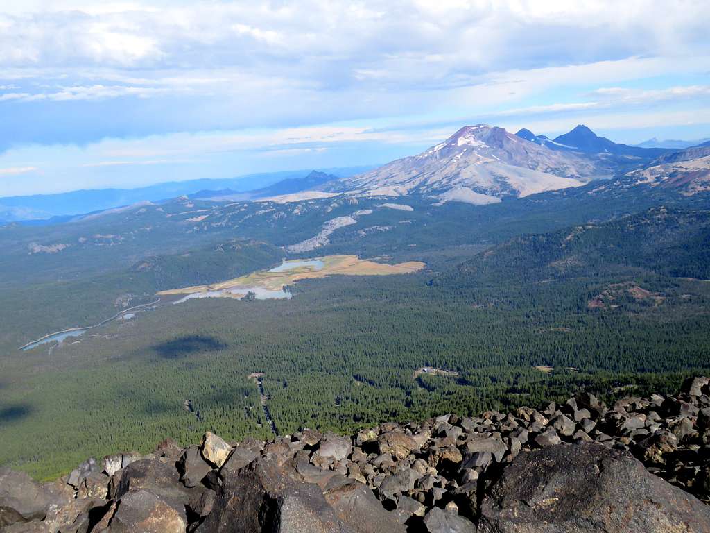
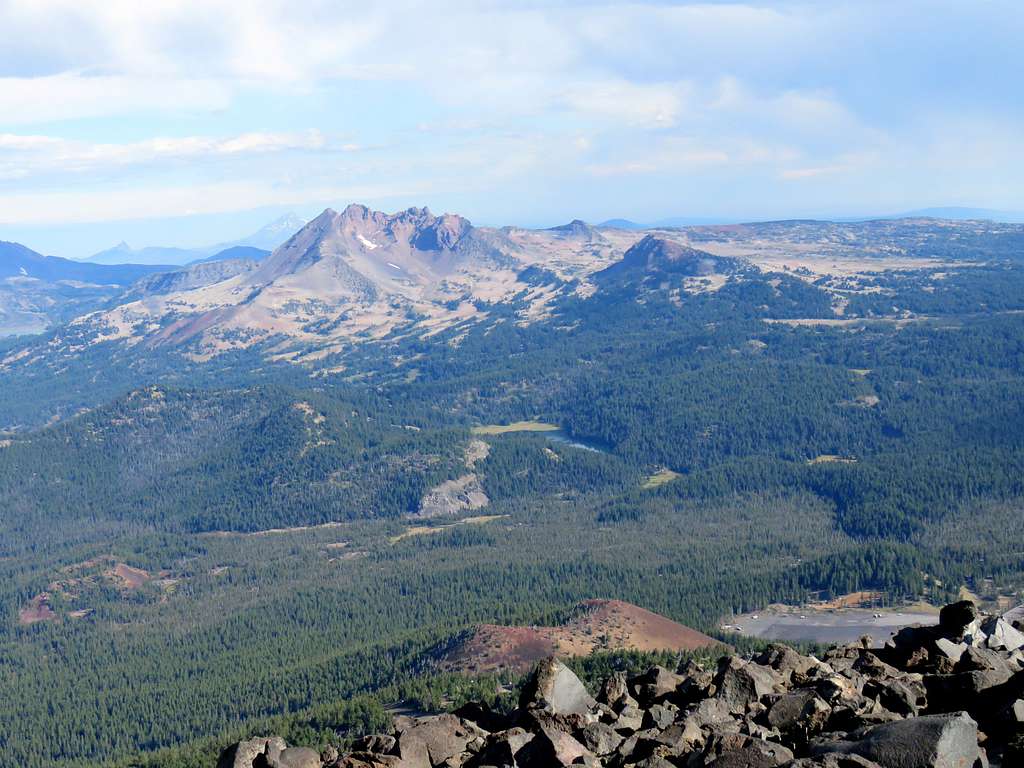
Three Sisters and Sparks Lake.
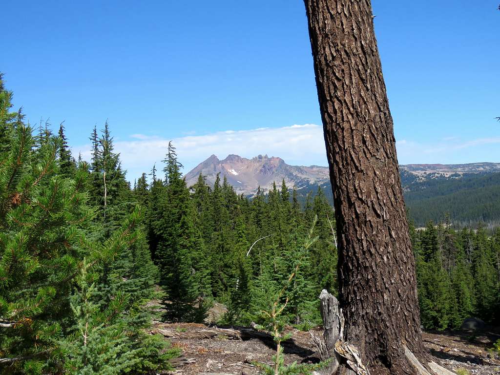
Broken Top and Todd Lake.
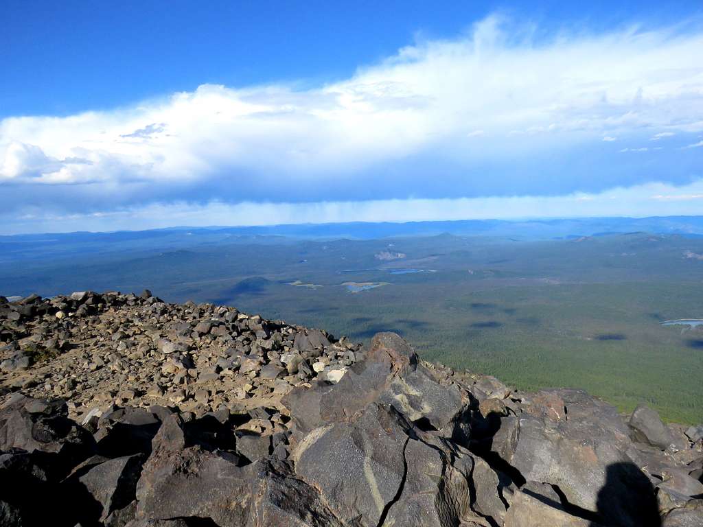
Looking west/southwest.
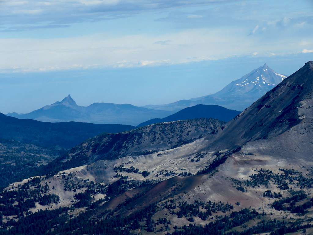
Zoomed view of Mt. Jefferson and Three Fingered Jack.
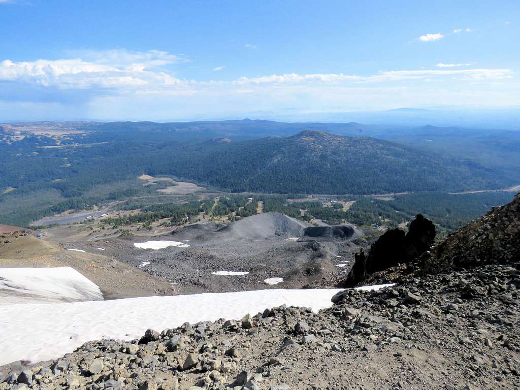
To the northeast, halfway down the mountain, I could see a gray-colored sandy hill. I was theorizing that it was the terminal moraine of an old glacier that once gauged that side of the mountain.
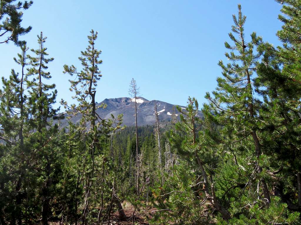
As I was standing there proudly as if I had conquered K2, I saw what looked like a soccer mom, her husband and two little girls who could not have been older than 8 and 11 years old coming to the summit. I was surprised to see them and thought to myself that the lifts must have surely opened and that was how they made it to the top but I did not tell them anything. Left the summit before 10 and began to hike back down. Three Sisters and Broken Top from just below the summit.
Once I reached the top of the lift, I noted that it was not working. I stood there talking to Kris via Walkie Talkie when I saw the family coming down the summit and hiking down the slopes very fast. Kris said that he had talked to them and they were in a mountain rescue team.
I continued down the trail until I reached Kris at 8600 ft elevation. Took a short rest and we then both continued down. Looking back at the summit and the black rock slopes.
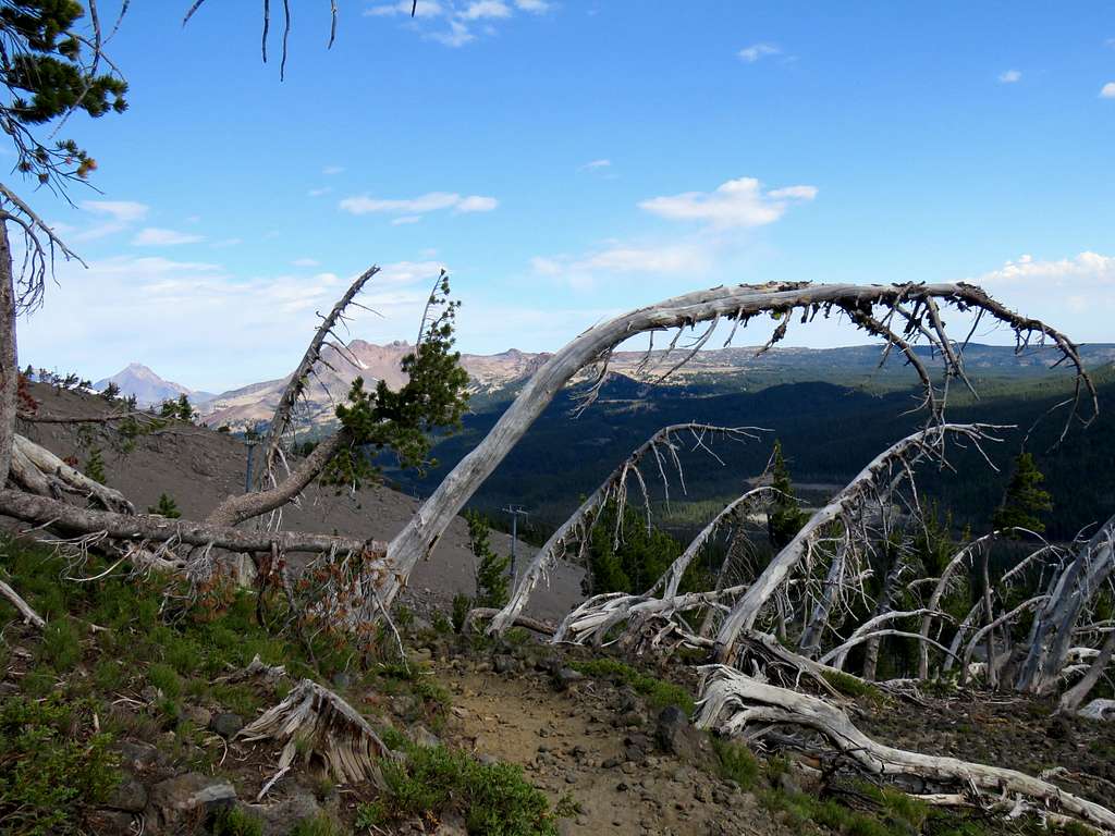
Bent dwarf trees.
At the top of the lower lift (7250 ft), we took another break. They were doing construction in the distance creating much noise. Then continued down through the forest. Another look back at the summit.
We then reached the three-way that we had seen in the morning. The sign clearly said, “No Hiking” on the path that we had come up from so we took the other path down. I was afraid that the path was going to take us down to the northern entrance of the ski resort where we would end up having to hike one mile back along the road to reach our car.
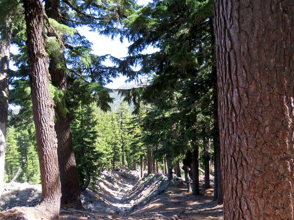
A pretty forest of big pine trees.
Broken Top.
I kept looking at my GPS to make sure that we did not go much farther west than the Dutchman Flat Parking Area. Once we were as far west as the parking area, we left the trail and went directly down a ski run, crossed Route 372 and reached the car at 12:10 p.m.
The summit of Mt. Bachelor from the parking area.
Black clouds had appeared to the east but we were still in the sun. Kris said he wanted a Mt. Bachelor sticker for his ski helmet so we drove to the northern entrance of the resort. A number of cars were there but nobody was visible and all buildings turned out to be locked, Kris was surprised that the resort did not do any business in the summer months. By the time we made it back to Sunriver, it had begun to rain and rained very hard later that evening.