Mount Stuart 7-27-2013
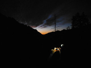
After an awesome peak bagging backpack trip to Gem Lake last weekend, Colin and I were left with a lingering summit fever. We have both been looking at Mount Stuart for years and conditions could not have been better for a summit bid. We hoped to camp in the Ingalls Creek valley or somewhere along the climb but when we arrived at the trailhead at 1030 pm we chose instead to sleep in the truck and make an alpine start.
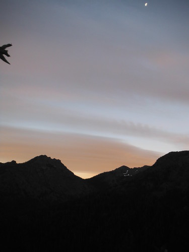
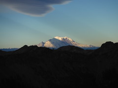
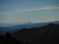
We were on the trail at 245 am and off to Long's Pass by 4. Stuart was well enough lit by moonlight to make out the wide Cascade Couloir from the pass. The morning light appeared before we reached Ingalls Creek. We both mistakenly believed the trail followed the South side of the creek and we made it about a half mile East before we decided to leave our overgrown path and push through brush and over the creek to the real trail. The trail that leads to the beginning of the Cascade Couloir Route begins at the West edge of a clearing just after a small creek crossing with the remains of an old footbridge.
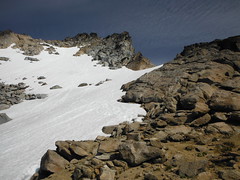
Several tents were set up in the camp just south of the clearing below the col. We returned to the creek after climbing 200' of the trail and refilled our water, as it is the last reliable source. Several tents were set up in the camp just across the trail from this clearing. The wide open Cascade Couloir came into view around 5500' after a very short section of meadows. The next 2500' or so was through small loose talus and sand, with decent bootpaths through vegetation along either edge of the couloir.
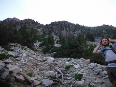
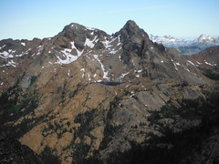
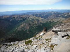
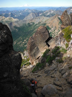
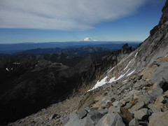
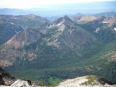
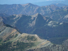
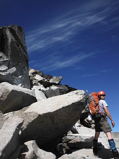
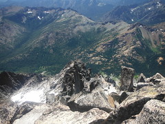
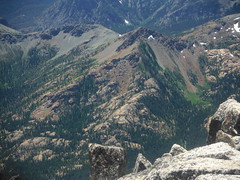
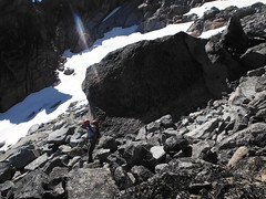
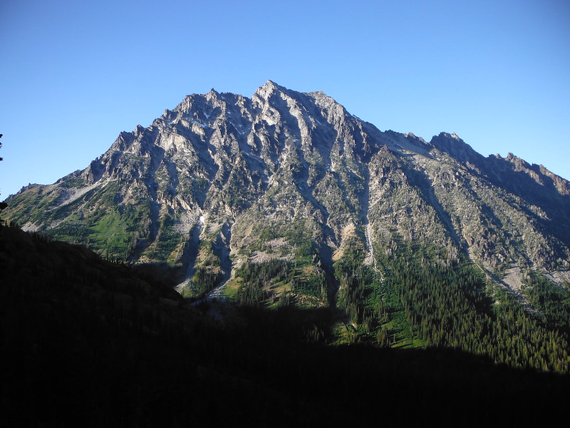
At 7000' we stopped for a break at a small landing with a few excellent bivy spots and views into the valley below and up towards the false summit. Above that the talus began to grow quickly, with the occasional massive boulder or three strewn about. We were both having a blast rock-hopping our way up the mountain when suddenly Sherpa Peak came into view to the East. Colin knew Sherpa to be about 8600' which meant we had less than one thousand feet to go.
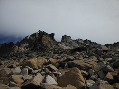
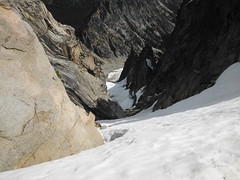
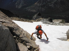
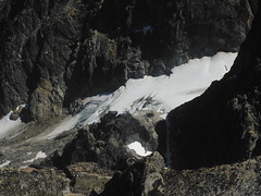
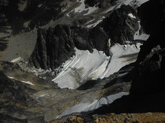
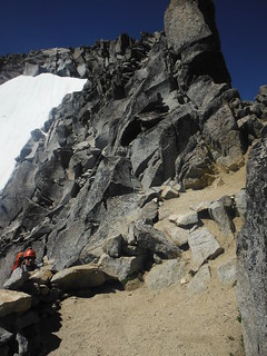
The next landmark along the route was the large snowfield situated just below the false summit. The snow had melted out enough near the top to expose what looked like a decent scramble route above it, so we chose to save the trouble of donning crampons. We climbed up inside the moat until it appeared sketchier than the solid rock above. Clean handholds were everywhere, I have never had so much fun climbing!
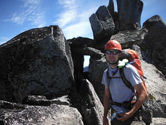
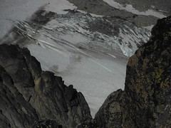
At the top of the snow field we used ice axes to carefully cross 15 feet of snow where it curled over to the north, becoming the top of the Ice Cliff Glacier. A short scramble later we were standing on the fase summit with our destination finally in view.
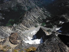

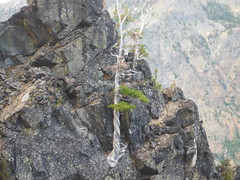
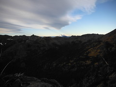
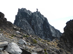
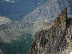
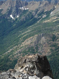
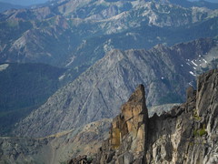
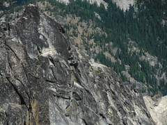
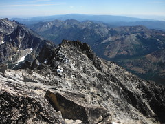
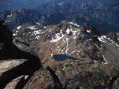
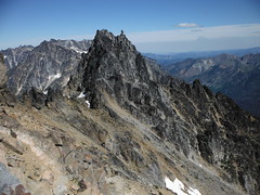
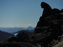
On the way to the true summit I heard voices. We were fairly certain that nobody was ascending behind us, and soon Colin noticed a few distant climbers on the North Ridge. We enjoyed more scrambling along the ridge, pausing often to admire dozens of bivy spots and imagine the countless adventures they had been a part of. As we were examining the Stuart Glacier from above we noticed two climbers from the North Ridge attain the summit.
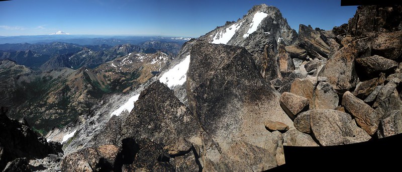
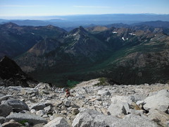
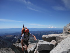
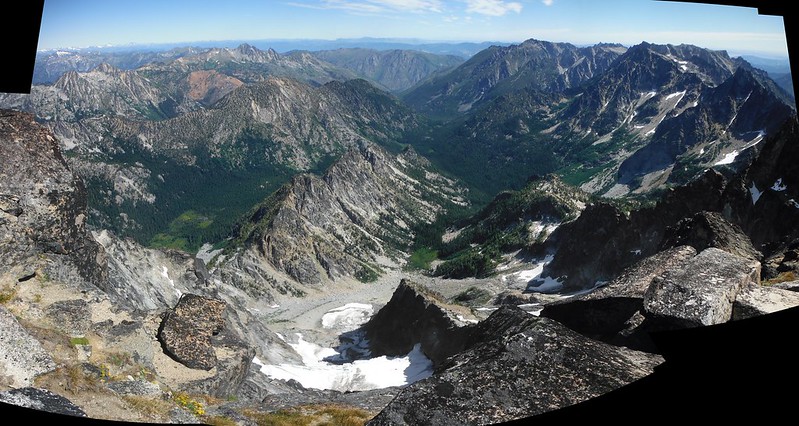
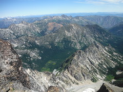
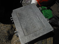
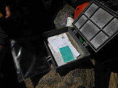
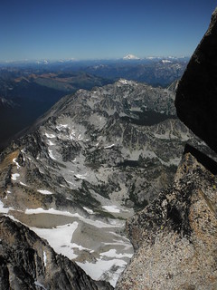
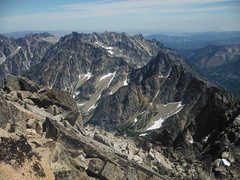
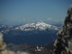
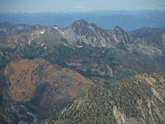
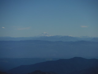
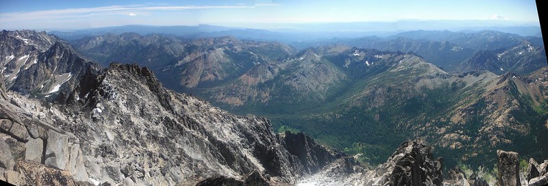
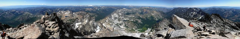
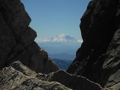
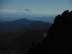
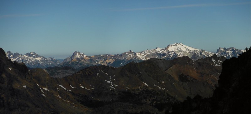
The summit of Mount Stuart is without a doubt my favorite place yet to view the Cascades. Nearly every peak I have ever climbed was in view, not to mention hundreds more that I've never laid eyes on. A lot of our route up was visible, the switchbacks down from Longs Pass looked unreal. The summit register's container is a metal(aluminum?) briefcase, seemingly custom made though I'm not sure what "MAZAMAS" is supposed to mean. We found two notebooks inside with logs going back to 1997.
After staying to enjoy the summit as long as possible, we packed up and headed down with about 6 hours of light remaining. It took us 9.5 hours to reach the top and we hoped to make it over Longs Pass without headlamps so we would need to make good time. Following our ascent route down with some modifications thanks to hindsight proved to be quicker than I hoped, and a few hundred feet of glissades didn't hurt our time either. At least 500' of deep sand allowed for plunge stepping like I have never experienced outside of a snowy slope, and was conveniently situated in the middle of 4000' of knee-busting fun.

We had time for a dinner break back at the creek and still made it to the pass just as the sun began to set behind Fortune Peak. We watched the remaining light leave Stuart and celebrated the accomplishment with a little toast before returning to the trailhead under twilight.
2:45am - Leave TH
4:00am - @ Longs Pass
5:00am - @ base of CC
12:20pm - @ Mount Stuart Summit
2:20pm - Leave Summit
5:30pm - @ base of CC
7:30pm - @ Longs Pass
8:15pm - back @ TH
14 miles
~9000' elevation
My Blog

Comments
No comments posted yet.
