|
|
Mountain/Rock |
|---|---|
|
|
46.08719°N / 11.39066°E |
|
|
Hiking |
|
|
Spring, Summer, Fall, Winter |
|
|
7421 ft / 2262 m |
|
|
Overview
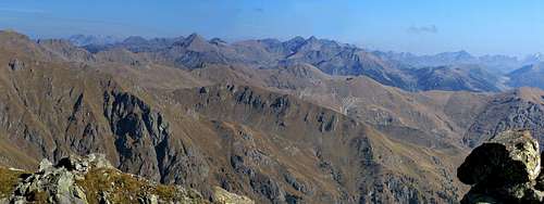
Monte Cola is a small but interesting summit in the Lagorai range.From its summit spectacular views on Southern Lagorai and on Valsugana.
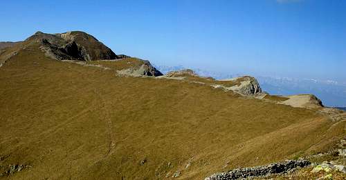
Monte Cola
Lagorai range in autumn from Monte Cola 2262mt.
Getting There
by car - autoroute A22 (Brennero-Modena)- exit Trento Centro (km 20) - follow the SS47 (Valsugana) direction Padova-Venezia and follow to Levico and then Roncegnoby train Trento station (railway Monaco-Roma) - Pergine Valsugana Station (railway Valsugana, Trento-Venezia). From Pergine Valsugana - Calceranica al Lago - Caldonazzo - Levico Terme - Roncegno.
nearest airports : Verona (Aeroporto Valerio Catullo) - Venezia (Marco Polo Airport) - Milano (Linate Airport) - Bolzano (Bolzano Sud Airport)
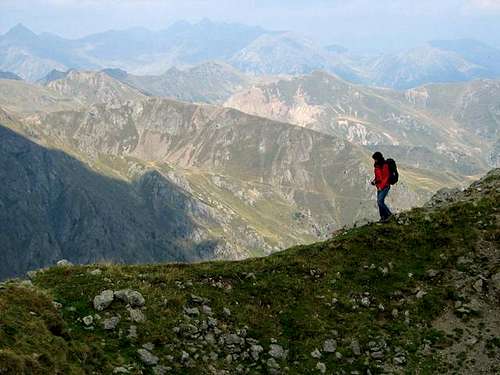
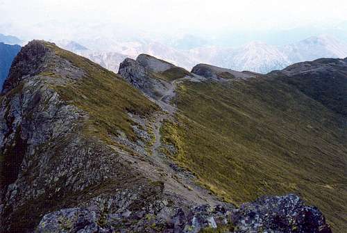
Monte Cola: the path along the ridge and Monte Hoabonti 2334mt.
Route Description

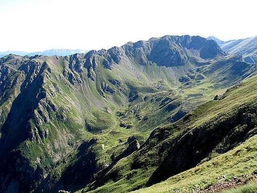
Sette Laghi: eriofori
On along the Statale della Valsugana SS47 to Roncegno.
Now follow for le Pozze and the Rifugio Serot 1565m, leaning on the Valsugana.
A little beyond you arrive to Malga Trenca where you must park your car.
Herefrom shortly on foot toward North to the upper plain, then to the left (Westward), along a well marked muletrack, toward a big wooden Cross.
Now you lean out on a very fine walley (Val d'Ilba); keep the right side, and using a marked path along the ridge, up to the summit of Monte Cola 2262m.
From the summit toward W, always on the ridge, up to the main summit (Hoabonti 2334m)
Down, along tracks, toward the Passo La Portella.
Just a little before it you arrive at a fork with the path 325, a short equipped stretch and, along tracks, down to the Sette Laghi (Seven lakes).
Now follow the mark 323 that, with a long cross, turns round (on the East) the Monte Cola bringing back to Malga Trenca.
Maps and Books
Kompass: 1:25.000 n.626 Catena dei Lagorai. Cima d'AstaKompass: 1:25.000 n. 621 Valsugana. Tesino
|

Weather forecast
For weather and avalanche conditions in Trentino look at this pages:wetterzentrale
Meteotrentino
Meteo Alpin
Società Meteorologica Italiana
Il meteo .it
eurometeo
Provincia di Bolzano