|
|
Route |
|---|---|
|
|
38.28597°N / 119.6511°W |
|
|
Hiking, Scrambling |
|
|
Spring, Summer, Fall |
|
|
Most of a day |
|
|
Class 2 |
|
|
Overview
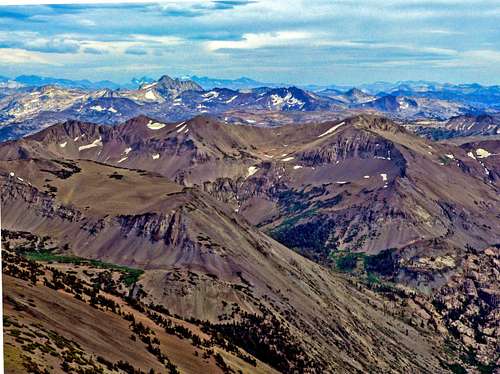
Leavitt Peak from the northeast
Leavitt Peak 11,569', is the second highest peak in the Sonora Pass area. It is also the highest peak north of Tower Peak along the northern Sierra Crest. The east shoulder is a popular class 1 walk up hike off the Pacific Crest Trail and the views from the large flat slate covered summit are extensive up and down range.
The northeast ridge is a straightforward class 2 scramble that gets a little knife edgy in places. It is a satisfying alternative to the regular southeast ridge route for those looking for a more interesting approach. It is a little shorter. It is recommended that hikers descend via the southeast ridge route.
Because the route approaches from the north, it is best hiked between July and October.
Appreciation is owed to Windsor Riley (aka Noondueler) who created this page, and who passed away in 2016.
Getting There
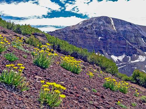
Northeast ridge from the south
From the town of Sonora in the Sierra foothills go 70 miles east on Hwy. 108 to Sonora Pass.
From Hwy. 395 below the eastern Sierra go 15 miles west on Hwy. 108 to Sonora Pass. There is a parking area on the north side of the pass.
Route Description

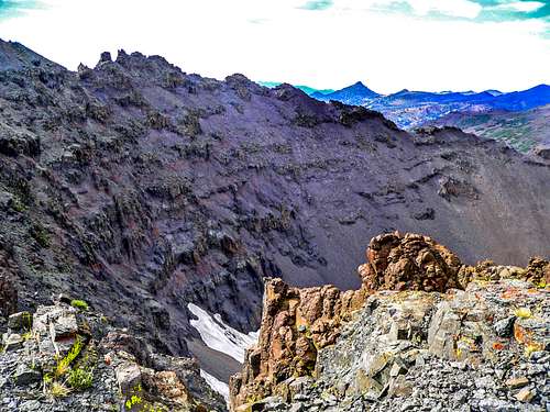
Looking up the northeast ridge
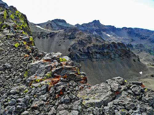
On the northeast ridge looking northwest
Take the PCT south as it climbs to the crest and goes along the west slopes of the first two peaks until it reaches a saddle which is over three miles from the trailhead. The north ridge of "Latopie Peak" is directly ahead. The PCT then drops down to the left and goes along below the northeast face of "Latopie Peak" until it reaches a pass (10,800') about 3/4 miles further. Continue on over the pass above Latopie Lake as it goes down to the right for half a mile. At this point leave the PCT and head to the right up to the saddle between "Latopie Peak" and Leavitt Peak's northeast ridge. Take the northeast ridge to the left to the top of Leavitt staying to the left pretty much all the way.
The descent here takes the regular southeast ridge route back down to the PCT and back to Sonora Pass. That will be 11 miles total round trip, gaining over 2,400' on the way to the summit, and another 400' on the way back. Add another 400' with no additional distance if hiking over Pacific Crest Peak.
![Leavitt Peak south view]()
Essential Gear
Essential gear includes just a day pack with food, water and appropriate clothing for the summit weather. Early season hikes may require an ice axe and crampons; however, this route isn't recommended in those conditions.