
-
 3498 Hits
-
 0% Score
-
 0 Votes
|
|
Route |
|---|---|
|
|
47.15040°N / 12.52110°E |
|
|
Skiing |
|
|
Spring, Winter |
|
|
Half a day |
|
|
easy |
|
|
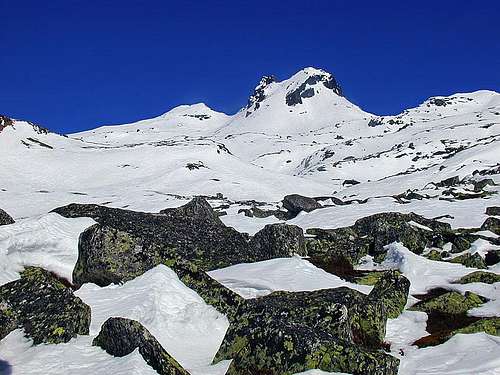
Route Description

From the parking place at the tunnel, or from the big parking place at the Matreier Tauernhaus we ascend through light larch woods towards the north. First we go straight upwards, after 20 minutes we keep more left, until we reach open terrain. Above the Messeling Bach we ascend over a more steep part and reach the plateau on which the Gruenseehuette, 2235 m, stands. Behind the hut is the first lake: Gruensee (Green Lake). Our route goes by its west bank and so we enter a bit more closed upper valley of the Messeling Bach. Above the Schwarzsee (Black Lake) and the Grausee (Grey Lake) we continue in the NW direction and comfortably reach the broad saddle (2563 m) north of Messeligkogel (2694 m). From the saddle we turn again more towards the northeast. After crossing a small plateau, the upper slopes are ahead of us. Heading towards the west ridge and enjoying broader and broader panorama, we reach the summit in about 3 hours 30 minutes (cca 1300 m of altitude). When skiing down we can choose the ascent route or, when visibility is good, we can choose also other neighbouring slopes. |