
-
 3889 Hits
-
 78.87% Score
-
 10 Votes
|
|
Route |
|---|---|
|
|
39.81600°N / 77.47°W |
|
|
Hiking, Trad Climbing, Scrambling |
|
|
Spring, Summer, Fall, Winter |
|
|
Half a day |
|
|
Overview
This route approaches Buzzard Peak from the south. The route begins on the Appalachian Trail (AT), but soon deviates from the AT in order to follow a pleasant stream and explore an interesting rock formation along the way.
Getting There
Using the driving directions from the east as given on the main page, just continue driving on Old Forge Road about 0.4 miles past the AT crossing. The Old Forge picnic area will be on the left, with ample free parking. Park here and walk roughly southeast toward the woods across the remains of a baseball field.
Route Description
From the Old Forge picnic area, look for this small building. The AT is behind it. Head north (left) on the AT.
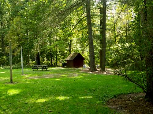
The AT is behind this small building.
Cross Rattlesnake Road in about 0.2 miles. Continue on the AT and cross Old Forge Road in about 0.4 more miles.
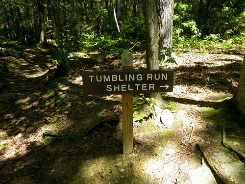
Continue north on the AT. Within a quarter-mile from Old Forge Road there is a junction with the blue-blazed Tumbling Run trail. Leave the AT here. Take the Tumbling Run trail and hike alongside the pleasant stream.
Tumbling Run
When a lengthy footbridge over Tumbling Run is obvious, leave the trail and cross the stream.
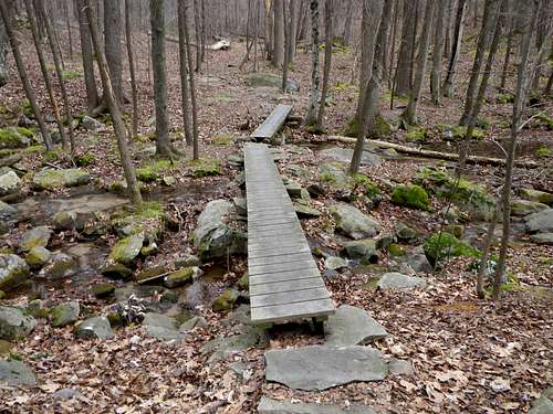
Footbridge over Tumbling Run
Soon you'll encounter a sign for “CLIMBING ROCKS.”
Sign
This geological feature is called "Monument Rock" on USGS maps, and apparently some people call it “Shaffer Rocks.” Follow the trail or simply head up and to the right, and soon this impressive formation will be obvious on the left.
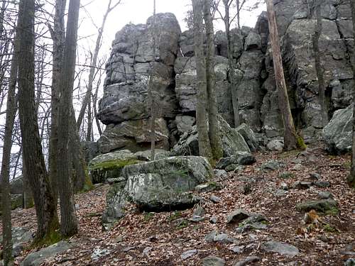
Monument Rock
Scramble around the base and approach the summit from the back for an easy walk-up.
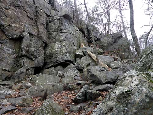
Some Class 3
Obviously, more challenging climbing is available for those who desire it. (See the link to climbing information below.)
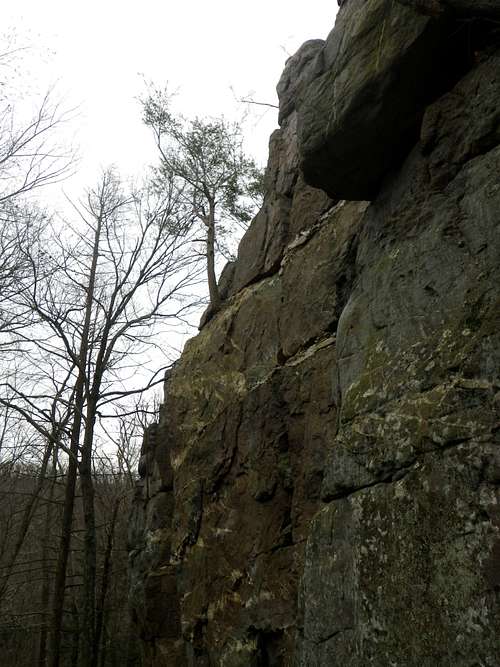
Monument Rock
The high point is non-technical, and the summit area is a pleasant spot.
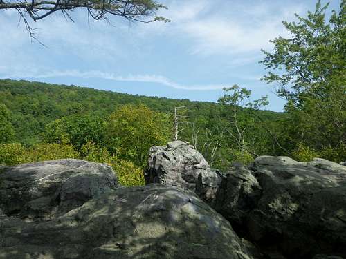
Monument Rock Summit
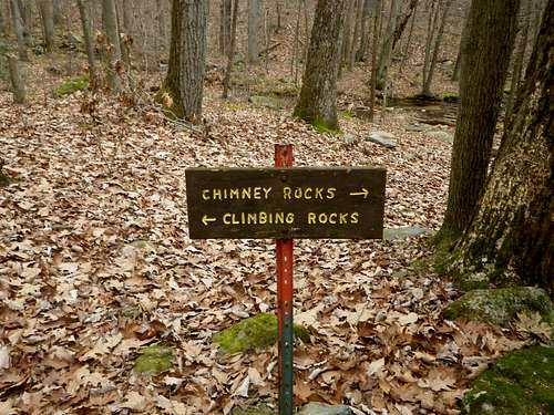
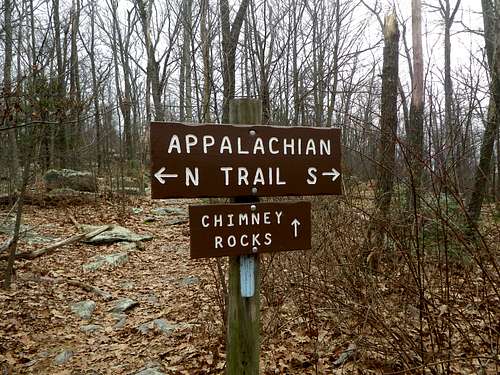
From Monument Rock, return to the footbridge, re-cross it, then continue north on the Tumbling Run trail. When the trail splits, turn right, the direction indicated by a “CHIMNEY ROCKS” sign.

Helpful Sign
Eventually cross the AT (1.5 miles from where you left it) and continue on a blue-blazed trail toward the summit of Buzzard Peak.
Buzzard Peak
After enjoying the rocks and the view at the summit area of Buzzard Peak, return to the AT and hike south 2.1 miles back to your car at the Old Forge picnic area. BONUS: Just off the AT, north of Buzzard Peak is Snowy Mountain. Including this out-and-back hike to the loop would add about 1.5 to 2 hours to the total time.