Toggle navigation
Mountains
Routes
Images
Trip Reports
Forum
What's New
People
Areas & Ranges
Articles
Trailheads
Canyons
Huts & Campgrounds
Albums
Logistical Centers
Fact Sheets
Lists
Custom Objects
Gear
Plans & Partners
WELCOME TO SUMMITPOST
SIGN IN
REGISTER
Rim to Rim to Rim
Additional Parents
Image
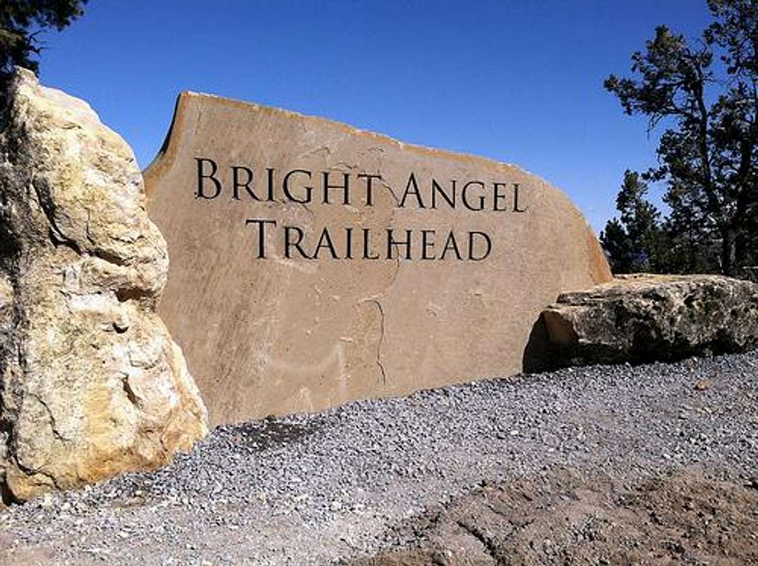
Bright Angel Trail Head
View High-Resolution Image
Bright Angel Trail Head
Picture taken from nsps.gov website
. The trail begins a few feet to the right of this sign.
« PREV
NEXT »
Diesel
on
Oct 25, 2015 7:56 pm
Comments & voting
Other parents
Lat/Lon:
36.05733°N / 112.14666°W
Image Type(s):
Informational
Image ID:
957464
1616 Hits
72.08
% Score
2
Votes
Log in to vote
Comments
No comments posted yet.
to post!
Don't have an account?
Rim to Rim to Rim
(Route)
« PREV
Viewing
#7 of 16
GALLERY
NEXT »
Diesel's Image Gallery
« PREV
Viewing
#169 of 609
GALLERY
NEXT »
Bright Angel Trail
(Route)
Loading....
×
You need to login in order to vote!
User Name
Password
Remember me
Forgot your password?
Log me out when I close my browser.
Keep me logged in all the time.
sign in as a user
Don't have an account?
Register now for FREE
Rating available
Suggested routes for you
People who climb the same things as you
Comments Available
Create Albums
Register Here


