Intro/Stats
"Notabon" (12706')
Mt Audubon (13223')
Paiute Pk (13088')
Mt Toll (12979')
Pawnee Pk (12943')
Indian Peaks Wilderness
Sept 12, 2009
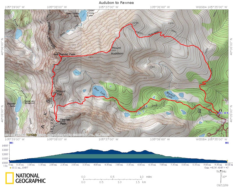
10.1 miles RT/4400' gain
Participants: Jim & Karen Ohl, Kevin Baker
Slideshow
With cold weather just around the corner, I was hoping to sneak in a string of 13ers and 12ers in the Indian Peaks Wilderness before the Brainard Lake Road closed. Jim and Karen were looking for a hike with some fall colors, so I thought we would have a good shot at seeing some aspens on this hike. It turns out the aspens are along the road to Brainard Lake and not along the Audubon trail! It started raining on the drive up from C. Springs and it started snowing a bit as we arrived at the trailhead, so it was looking like it would be a gloomy day with limited views. So much for my lofty goal of doing the Pawnee to Little Pawnee traverse at the end of the day!
Audubon & Paiute
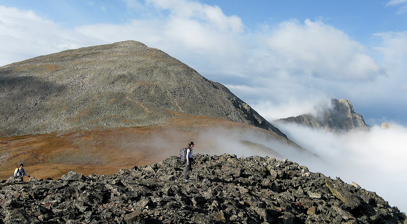
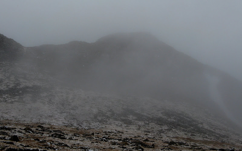
We set out at 6:55am and were the first group up the trail. Audubon is almost as busy as a 14er due to its close proximity to Denver in a spectacular setting. This was Jim's first trip to the IPW, so he'll have to come back on a nice day! The snow stopped right when we started and we actually had a nice hike up the gentle slopes of Audubon despite the lack of views on this cruiser trail. Audubon made a brief appearance as the clouds lifted briefly. We busted off the trail to tag the unranked bump n.e. of Audubon with an unofficial name of "Notabon." It was here where we enjoyed the only distant views of the day.
Jim and Karen near the summit of Notabon with Audubon and Paiute:
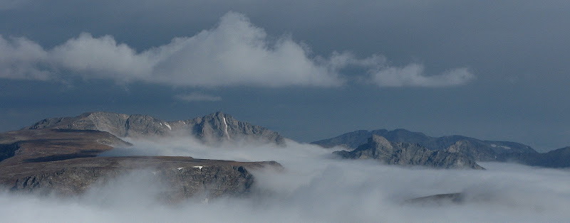
Ogalalla & Elk Tooth to the north:
This little bump only adds about 100 feet and was a worthy side trip. We headed back down to the trail at the saddle and were engulfed by the clouds again, which would be the last time we would see blue skies. The easy grunt from the saddle went quick and we were on the summit in less than 3 hours. I can see why Audubon is so popular, as it's quick hike on a gentle trail.
We fueled up for the traverse north to 13er Paiute. It began to snow as we descended and the rock started getting a bit slick, but the snow wasn't sticking yet. Jim and Karen decided to call it a day near the saddle since it was looking like this was not going to be a "smell the flowers" hike with the bad weather! I pressed on knowing that I could keep the whole day at class 3 or easier.
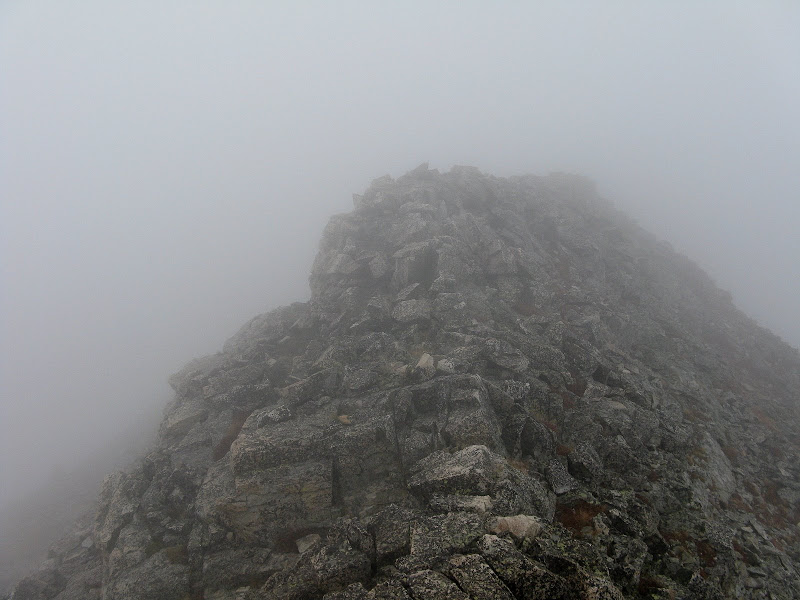
The climb up Paiute went pretty quick as I stuck at or near the ridge crest the whole time. There are some fun, optional class 3 slabs near the top and the exposure is only on the north side. Visibility was now less than 200 feet, which would be typical for the next few hours. Routefinding with limited views adds some uncertainty and challenge, but I knew I could call it a day if I ever became uncomfortable with the conditions. I just had to pay attention to the GPS more!
Optional scrambling along the east ridge of Paiute just below the summit:
Paiute has two summits very close together that are nearly the same height. I couldn't tell with the naked eye, so I went out to the harder northern summit to be sure. There is a class 3 downclimb off the southern summit that is a bit exposed, but the rock was solid and dry.
Toll, Pawnee & Descent
The traverse over to Toll would be the toughest part of the loop. I descended the south ridge of Paiute in the muck which was easy at first, and it steepened enough lower down that I decided to avoid some potential wet class 4 on the ridge and contoured below the difficulties on the left. There are a couple blocky bumps near the saddle that I skirted on the right.
The easiest way to climb Toll from Paiute is via the class 3 n.w. face, which I of course couldn't see. The only other option in these conditions was to drop off the saddle on the east side and contour all the way around to the easy s.e. face. I had read Ryan Schilling's route description of the n.w. face on summitpost and thought I could find it. Here's what the route looks like on a nice day.
![Mount Toll s NW Face route]() The northwest face route on Mt Toll. Image courtesy of Ryan Schilling.
The northwest face route on Mt Toll. Image courtesy of Ryan Schilling.
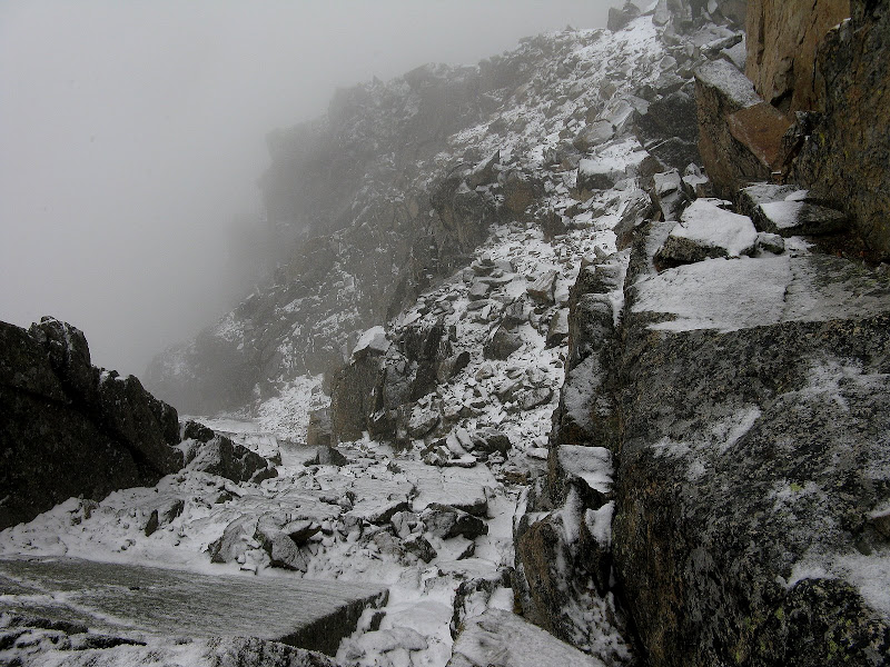
I dropped about 80 feet or so and traversed below the north face on slick talus. The snow began to pickup a bit, but I still had enough visibility to have a clue where I was at. I remember the description saying to begin climbing to the left of a prominent slab, which I was able to pick out. As I climbed, I spotted a cairn! I was shocked to find them on such an obscure route that is not in Roach's IPW guidebook.
I was easily able to find the class 3 crux of the route and it looked doable with snow. There is a small chockstone in the way at the top that wasn't a problem getting around.
Looking down from the top of the crux:
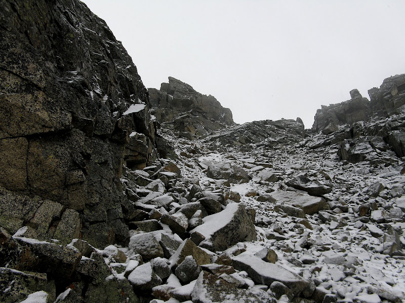
Above this, I traversed right following a couple cairns to the class 2 gully climb to a notch on the south ridge. There were a couple class 3 moves cresting this notch.
Gully climb to the ridge, using the notch just right of center:
Once on the ridge, it was a slick boulder hop to the summit. I topped out on Toll at 1:20 and didn't hang around as the weather was uncertain. Another annoying, slick talus descent and I was down to the broad, grassy saddle with Pawnee. The clouds lifted a bit for my only view of Toll. I'll have to come back and see this beautiful mountain again someday.
Pawnee is a short climb of 400 feet from the saddle. I weaved my way up grass and small talus on the north slopes, cresting the ridge just below the summit. About 300 horizontal feet from the summit, I heard the first rumble of thunder. I high tailed it to the summit cairn and got the heck out of there, arriving at 2:09. The snow picked up again and finally started to let up as I descended the bowl down to Blue Lake.
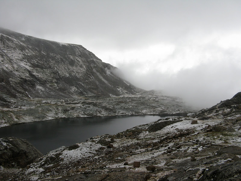
Thunder rumbled for awhile, but the weather improved as I descended. There are some steep slabs to navigate through above the lake, but I was able to keep it at class 2 on grass other than a few short butt scoots here and there. It took me awhile to navigate around the south side of Blue Lake, and I was happy when I finally hit the trail!
Blue Lake finally makes an appearance:
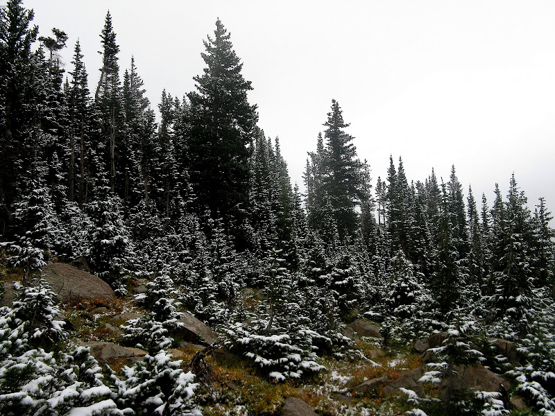
The Blue Lake trail was a quick cruise, and the fresh snow really highlighted the trees well.
I was surprised I had made it through the day walking over thousands of slick rocks without wiping out, but I almost ended up biting it on a slick double log stream crossing. A last second pirouette move saved me from an icy plunge into the creek! Sometimes I let my guard down too much along the trail at the end of the day. I made it back to the car at 4:45 and was surprised that it had snowed all the way down to the trailhead. Bummer that summer is over!
GPS track:


Comments
Post a Comment