
|
|
Route |
|---|---|
|
|
33.97677°N / 116.16507°W |
|
|
Hiking |
|
|
Spring, Fall, Winter |
|
|
Half a day |
|
|
Hike |
|
|
California Riding & Hiking Trail
California Riding and Hiking Trail (CRHT) is a 37.5 mile long trail that starts at the northern entrance of Joshua Tree National Park near twenty Nine Palms. It heads south for 7 miles then turns west/northwest to end at the northwestern border of the park in Black Rock Campground. To create Summitpost pages and reasonable day hikes, I have arbitrarily broken CRHT into several sections with approximate millage as below (the linked pages below may include descriptions of other nearby trails as well):
1) Northern Entrance to Pinto Wye, 4.5 miles
2) Pinto Wye to Juniper Flats, 13.7 miles
3) Juniper Flats to junction of Stubbe Springs Trail, 3.7 miles
4) Junction of Stubbe Springs Trail to Eureka Peak Trail, 10.1 miles
5) Eureka Peak Trail to Black Rock Campground, 5.5 miles
CRHT-Fan Canyon Overlook-Stubbe Spring Loop
The 3.7 mile section of CRHT described here sits to the west of Juniper Flats parking area on Keys View Road. When combined with Fan Canyon Viewpoint and Stubbe Spring Trails, it creates an ideal day hike 13.2 miles long. At Fan Canyon Overlook, you will find yourself on the edge of a plateau where eroded slopes drop 4600 vertical feet down to the bottom of Coachella Valley (where the city of Palm Springs is).
Getting There
Directions to Juniper Flats Parking:
From the west entrance follow the main park road 10 miles to Keys View Road. Turn right onto Keys View Road and drive 1 mile to Juniper Flats Parking area on the right side of the road.
Route Description
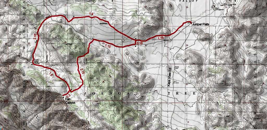
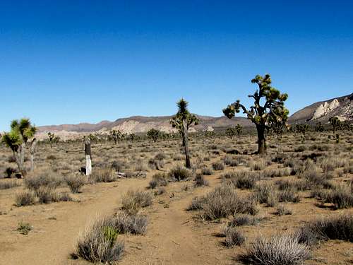
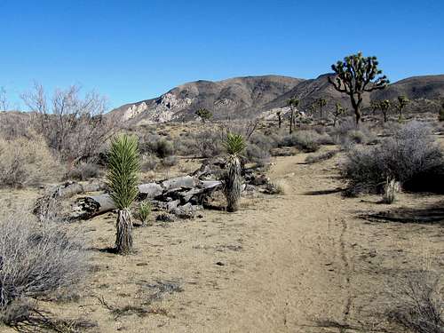
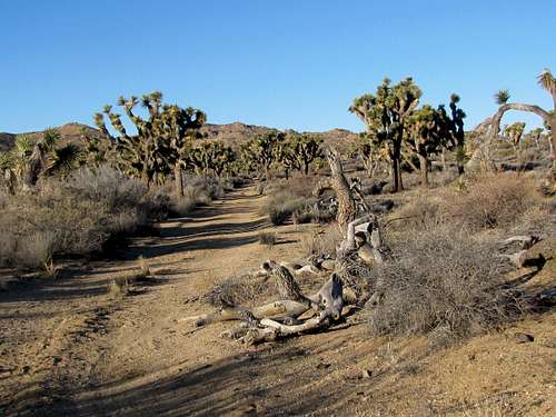
The lollipop loop described here is 13.2 miles long. See above map for detailed distances. Elevation ranges between 4350 and 5000 ft. When I was in the area, the trails were well-established and well-signed.
At Juniper Flats parking area head a short distance north to reach California Riding and Hiking Trail.
 |
 |
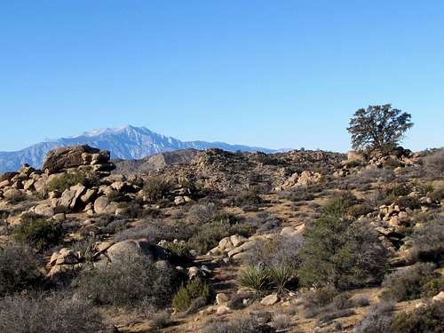
Ryan Mountain will be behind you to the east.
 Ryan Mountain
After 1.75 miles, you will reach the signed intersection with Stubbe Spring Trail. This is the start of the loop. This description goes clockwise. Turn left onto Stubbe Spring Trail.
You will soon reach an old dirt road turned into a trail. Turn right and follow the trail west.
 |
 |
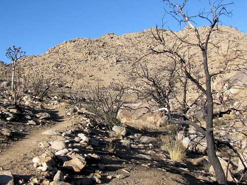
Follow this road for 1.15 miles until you reach a sign telling you to turn left leaving the road. The trail takes you into a small canyon among burned trees going up in elevation.
 |
 |
 |
 |
Looking back at the plain below.
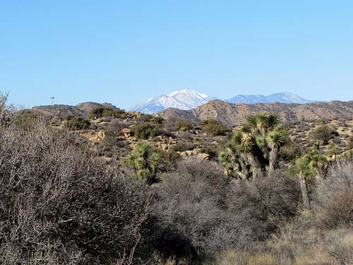
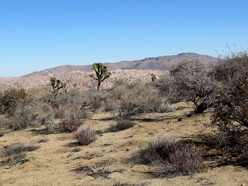
You will then reach a plateau. Mts. San Gorgonio and San Jacinto will come to view.
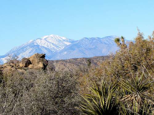 San Gorgonio San Gorgonio |
 San Jacinto San Jacinto |
The trail will go up to a high point and then begins to slowly come down until you reach a 0.3 mile spur trail to Fan Canyon Overlook. Turn onto to this trail to reach the edge of the plateau at the overlook.
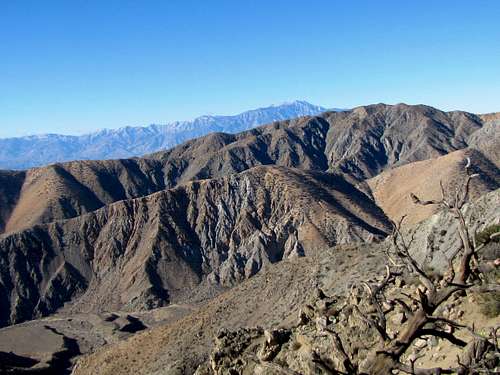 San Jacinto from Fan Canyon Overlook San Jacinto from Fan Canyon Overlook |
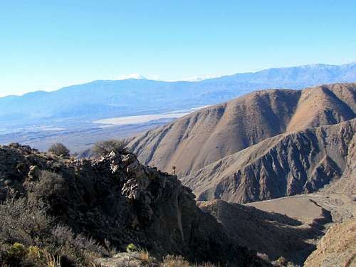 Coachella Valley from Fan Canyon Overlook Coachella Valley from Fan Canyon Overlook |
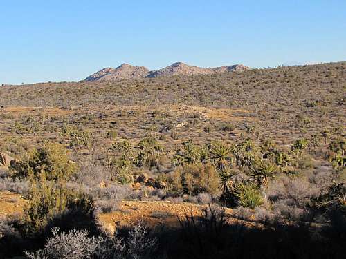
Return to the main trail and continue it down a dry wash toward Stubbe Spring. Quail Mountain, the highest peak in the park, can be seen.
 |
 San Gorgonio San Gorgonio |
 |
 Quail Mountain Quail Mountain |
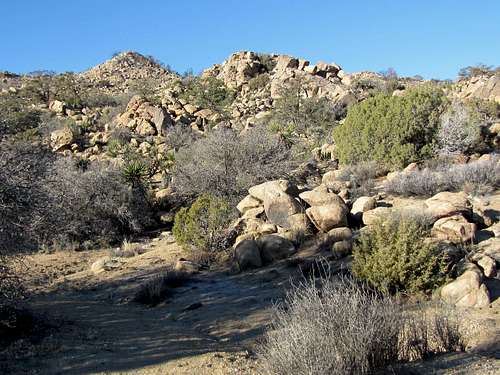
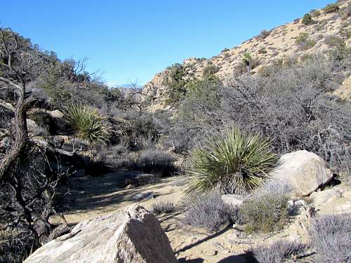
At Stubbe Spring, you will see a slope with a lush growth of bushes.
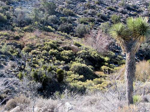 Stubbe Spring
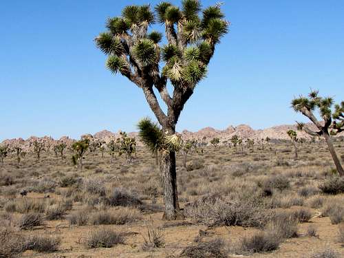
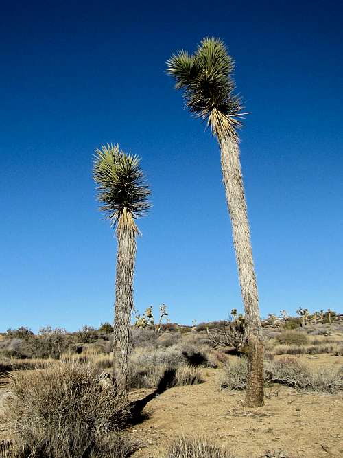
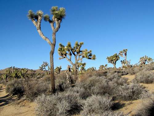
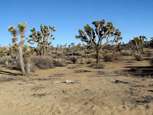
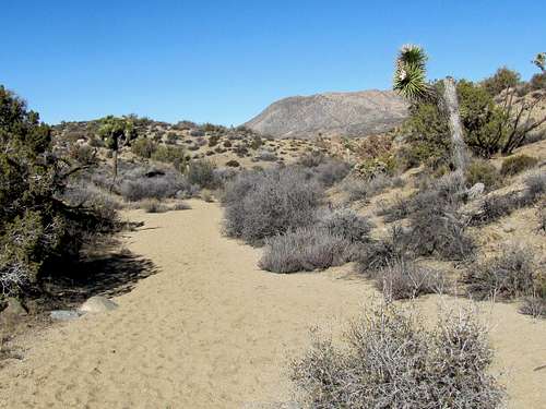
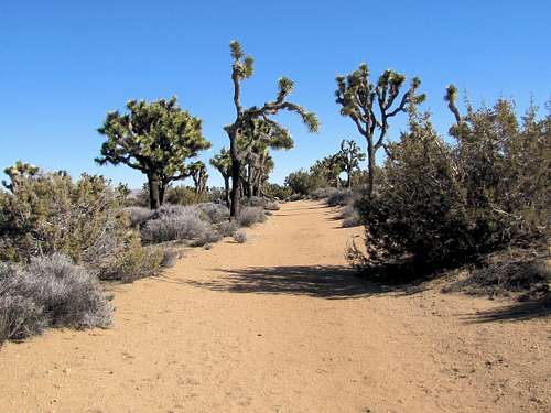
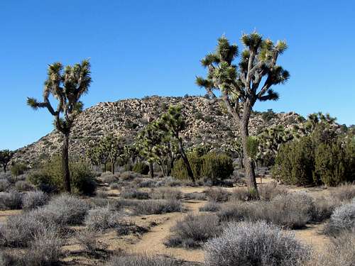
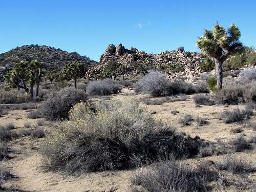
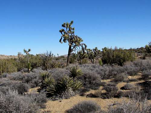
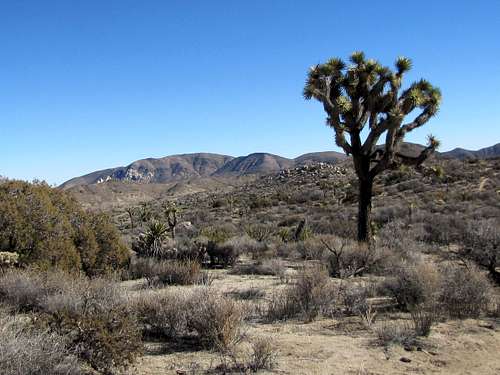
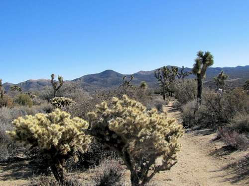
Continue on the trail up a relatively steep section to reach a plateau. You will find big Joshua Trees here.
 |
 |
 |
 |
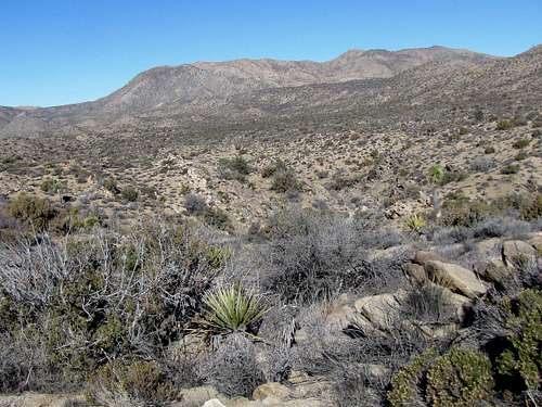
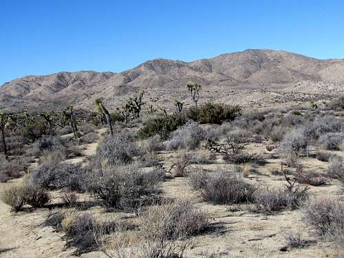
You will then reach California Riding and Hiking Trail. Continue east to reach Juniper Flats Trailhead. Quail, Queen and Ryan Mountains will be visible.
 Queen Mountain Queen Mountain |
 Quail Mountain Quail Mountain |
 Ryan Mountain Ryan Mountain |
 |
When to Hike
Summer can be dangerously hot. Spring, fall and winter are generally good times.