Toggle navigation
Mountains
Routes
Images
Trip Reports
Forum
What's New
People
Areas & Ranges
Articles
Trailheads
Canyons
Huts & Campgrounds
Albums
Logistical Centers
Fact Sheets
Lists
Custom Objects
Gear
Plans & Partners
WELCOME TO SUMMITPOST
SIGN IN
REGISTER
Ticino / Tessin
Additional Parents
Rheinwaldhorn / l'Adula
Image
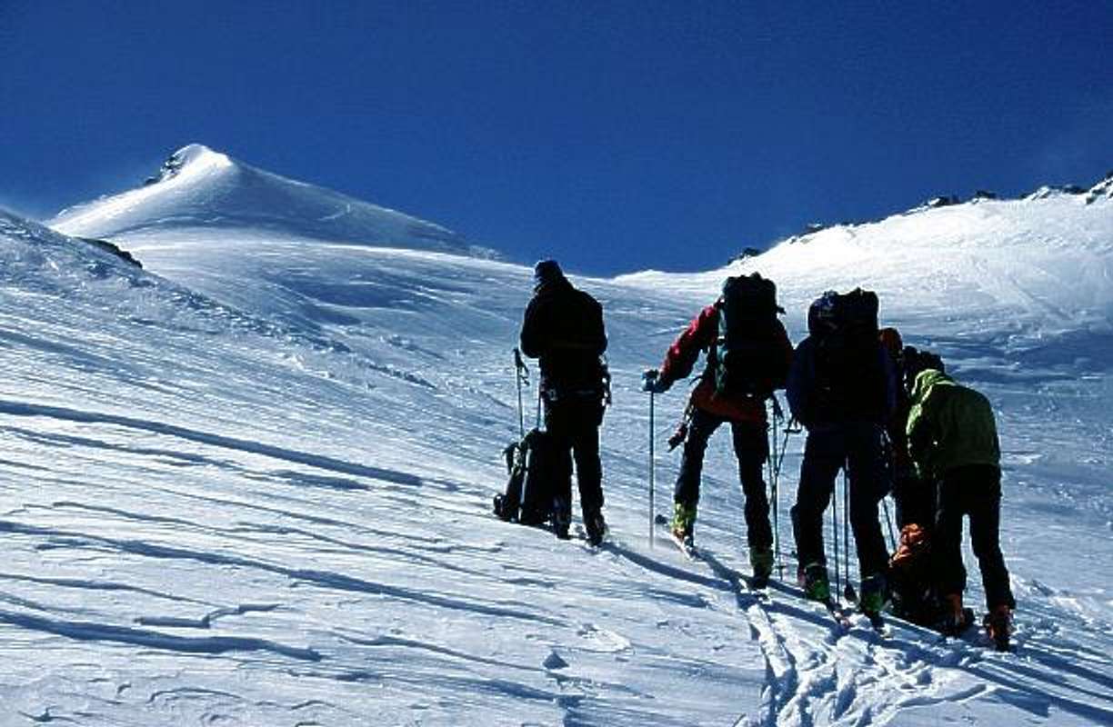
The upper part of the Laenta...
View High-Resolution Image
The upper part of the Laenta...
The upper part of the Laenta glacier with the Rheinwaldhorn. The easiest route is along the right ridge (March 2000)
(---
II
---)
« PREV
NEXT »
Mathias Zehring
on
May 31, 2002 5:28 pm
Comments & voting
Other parents
Lat/Lon:
46.49680°N / 9.03960°E
Image ID:
7424
3866 Hits
73.06
% Score
3
Votes
Log in to vote
Comments
No comments posted yet.
to post!
Don't have an account?
Ticino / Tessin
(Area/Range)
« PREV
Viewing
#392 of 581
GALLERY
NEXT »
Mathias Zehring's Image Gallery
« PREV
Viewing
#1412 of 1879
GALLERY
NEXT »
Rheinwaldhorn / l'Adula
(Mountain/Rock)
Loading....
×
You need to login in order to vote!
User Name
Password
Remember me
Forgot your password?
Log me out when I close my browser.
Keep me logged in all the time.
sign in as a user
Don't have an account?
Register now for FREE
Rating available
Suggested routes for you
People who climb the same things as you
Comments Available
Create Albums
Register Here


