
Viewing: 1-2 of 2

Shano - Jun 9, 2004 11:39 am - Hasn't voted
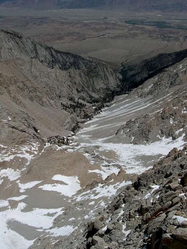
great photo!nice shot - I was down there in the canyon a few days after you took this. Great view of the route thru Tuttle Creek!
-shano

blmcclain - Jun 29, 2004 2:42 am - Hasn't voted
Re: great photo!Thanks! I just got off Mt. Tyndall this past weekend and will upload some pics from that adventure soon. The 2000' vert. relief down into the Williamson Bowl is something quite amazing. Someday I'll have to tackle the Tuttle Creek approach to Langley.
--Brian
Viewing: 1-2 of 2


Comments
Post a Comment