

rpc - Oct 24, 2002 3:57 pm - Hasn't voted
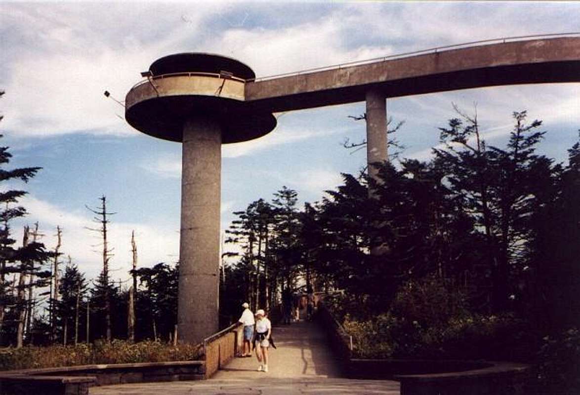
what the h...??Decent photo, but man what an uglya.. structure!!! What were the architects thinking when they drew it - that is if they did any thinking at all when they slapped this crap together? Unreal - what a way to destroy the summit scenery!
rpc

mpbro - Oct 24, 2002 4:25 pm - Hasn't voted
Re: what the h...??Welcome....to 1965! Mushroom-shaped concrete monstrosities appeared all over the place. Think: Space Needle!

John - Oct 24, 2002 4:35 pm - Hasn't voted
Re: what the h...??Getting up and down that ramp was quite the adventure back in April of 1998 when I visited. The entire surface was iced over and there was rime ice on top. One thing good about it is that being on top is about the only way to get a decent view up there!
rpc - Oct 25, 2002 9:15 am - Hasn't voted
Re: what the h...??I guess the top of the mountain is totally forested over, but they really could've put a little more consideration into making the structure 'blend in' a bit more. I've seen similar eye sores in many other wilderness type places - there's something very similar in Mt. Rainier NP - a saucer shaped, concrete piece of crap. Actually the NP service had plans to take it down (and replace it with 'wood looking' type structure) but then the funds got cut.....too bad.
rpc

vanman798 - Oct 10, 2019 8:27 am - Hasn't voted
It's interesting to know the Tower is in NC not TNIt's interesting to know the Tower is in NC not TN. Zoom in on a map and you will see the tower is clearly in NC. Bit of a shocker as we all are lead to believe the tower is at the highest point in TN. The topo does show that part of the peak is in TN and the paved trail to the peak crosses into TN, as does the AT. Photos on the tower are not the highpoint of TN but rather the third highest point in NC.


Comments
Post a Comment