Toggle navigation
Mountains
Routes
Images
Trip Reports
Forum
What's New
People
Areas & Ranges
Articles
Trailheads
Canyons
Huts & Campgrounds
Albums
Logistical Centers
Fact Sheets
Lists
Custom Objects
Gear
Plans & Partners
WELCOME TO SUMMITPOST
SIGN IN
REGISTER
McInnis Canyons National Conservation Area-Black Ridge
Additional Parents
Image
View from the Upper...
View High-Resolution Image
View from the Upper...
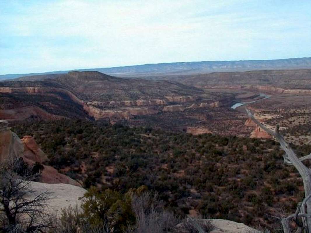
View from the Upper Rattlesnake Canyon Trail. The Colorado River can be seen snaking off to the left. 11-19-99
« PREV
NEXT »
theplugger
on
Feb 15, 2003 8:56 pm
Comments & voting
Other parents
Lat/Lon:
39.06500°N / 108.748°W
Image ID:
17057
2314 Hits
74.01
% Score
4
Votes
Log in to vote
Comments
No comments posted yet.
to post!
Don't have an account?
McInnis Canyons National Conservation Area-Black Ridge
(Area/Range)
« PREV
Viewing
#30 of 104
GALLERY
NEXT »
theplugger's Image Gallery
« PREV
Viewing
#94 of 246
GALLERY
NEXT »
×
You need to login in order to vote!
User Name
Password
Remember me
Forgot your password?
Log me out when I close my browser.
Keep me logged in all the time.
sign in as a user
Don't have an account?
Register now for FREE
Rating available
Suggested routes for you
People who climb the same things as you
Comments Available
Create Albums
Register Here


