

Viewing: 1-3 of 3

andrew david - Mar 18, 2013 11:45 pm - Voted 10/10
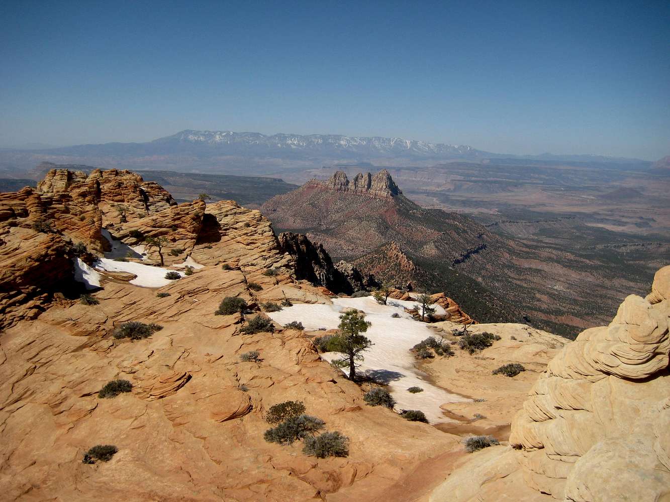
Water?Any water after Water Canyon in all those miles? My semi-coherent dream, knowing nothing of the area, has been to climb with a light overnight pack and camp on top of the plateau of the mountain somewhere. Make a 2 or 3 day casual experience of it. I would be driving from just north of Salt Lake, so car shuttle is unlikely, I will prob be solo, and I'd have to retrace my steps and do the Water Canyon and Squirrel Canyon loop.

MoapaPk - Mar 18, 2013 11:53 pm - Hasn't voted
Re: Water?I don't recall any water after Water Canyon, except the occasional (and unreliable) pothole. This is a dry year; I know folks have camped on top, but I'd guess melting snow is the best option. There is little snow anywhere in zion this March.
andrew david - Mar 19, 2013 12:03 am - Voted 10/10
Re: Water?Thank you. I will know not to expect any this spring for sure.
Viewing: 1-3 of 3


Comments
Post a Comment