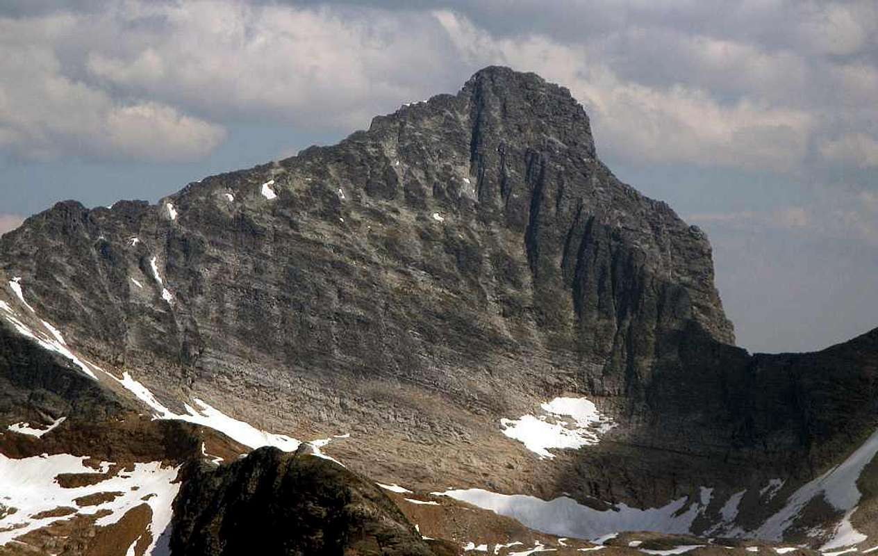
Uto Peak from across the valley on the Abbott-Afton traverse. The Northwest Ridge forms the lefthand skyline. The much better (though more difficult) southwest Ridge follows the dark towers leading up and left from the obvious col on the right. The right hand skyline is the East Ridge, a 5.7 route. Sandra McGuinness graciously allowed me to use her photo, which I found on bivouac.com. It is far superior to anything I was able to take on my day on Uto. July 24, 2009.


