Trails in red on this map of...
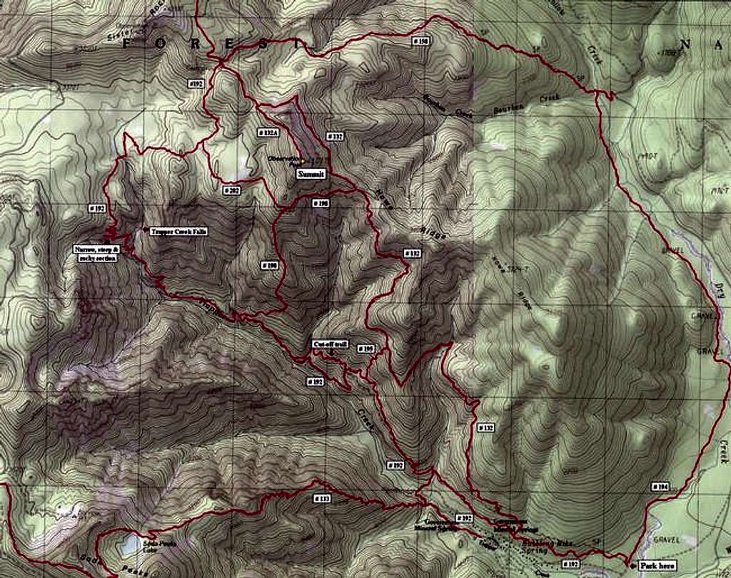
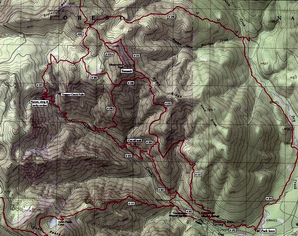
Trails in red on this map of the Observation Peak area. Start out on trail # 192 in the lower right corner of the map and turn right on # 132 after about a mile for an out-and-back route to the peak of about 14 miles. Our loop of 4/24/05 took us back via trail # 192 for a total of over 16 miles. This was well worth the extra distance for the views of Tanner Creek Falls and even more treking through spectacularly primitive old-growth forest. (Forget the "Cut-off trail" and stay on # 192, BTW - too many ups and downs) (Map created with NG TOPO! software)


Comments
Post a Comment