-
 1100 Hits
-
 77.48% Score
-
 8 Votes
|
|
Mountain/Rock |
|---|---|
|
|
Hiking |
|
|
Summer, Fall |
|
|
6608 ft / 2014 m |
|
|
Overview
Among the many summits and peaks of Karwendel ranges there are some second rank summits which are worth a visit.
Torkopf is such a second rank summit.
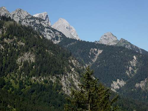
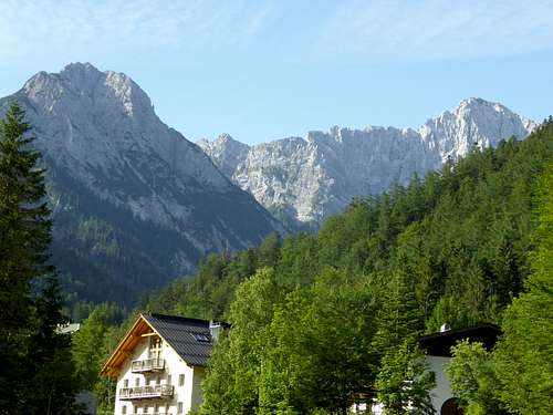
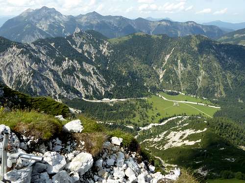
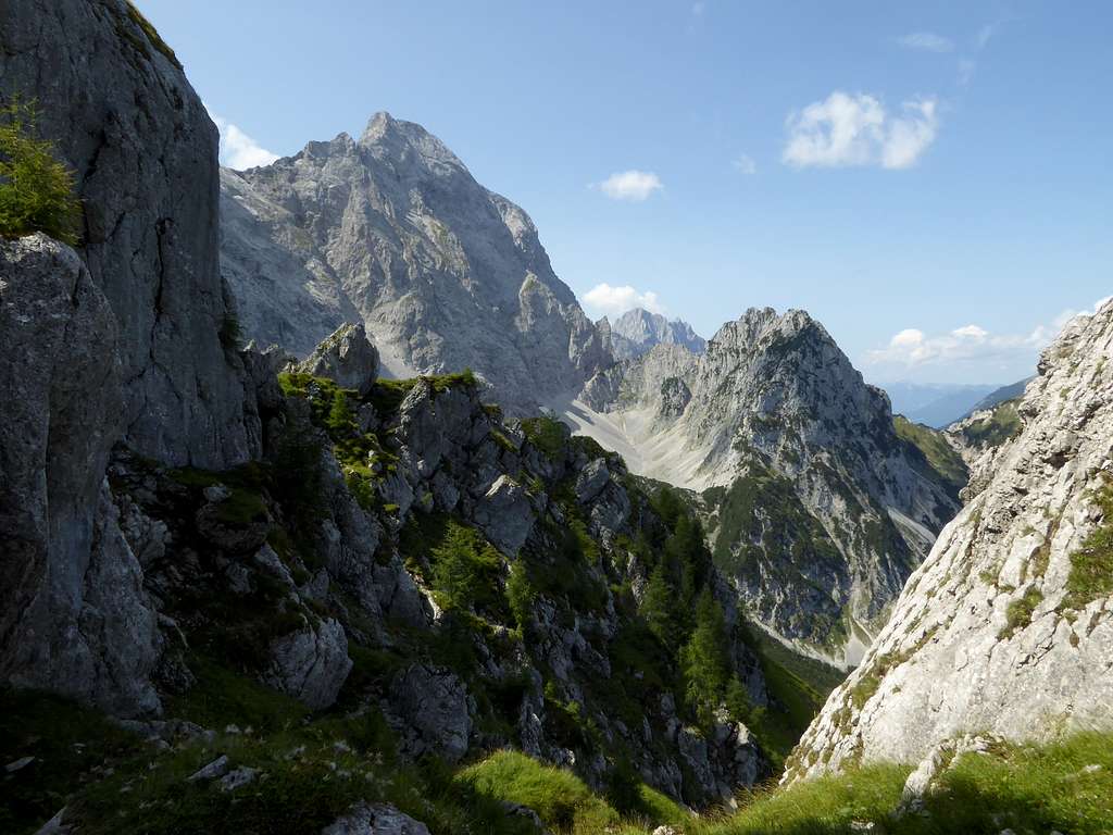
It is the eponymous summit and highest point of a short, south – north running ridge which starts at Östliche Karwendelspitze and runs down to the village of Hinterriß. This ridge separates two extraordinary valleys: Tortal valley to the east and Rontal valley to the west, both showing a breathtaking landscape.
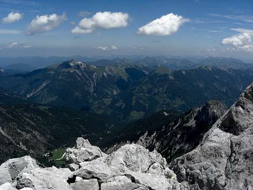
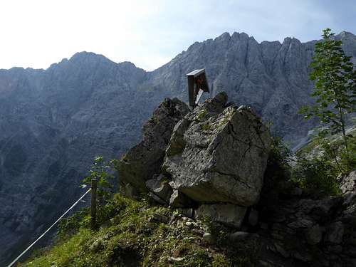
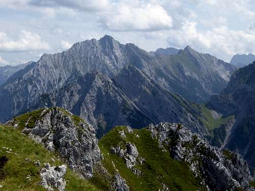
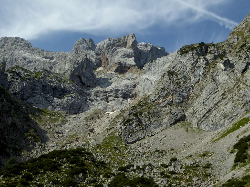
Torkopf is in fact the only summit of this short ridge which can be climbed rather easily. Standing north of Östliche Karwendelspitze, this mountain faces directly the huge northern rock walls stretching between Talelespitze to the east and Bäralplkopf to the west. The summits of these huge limestone wall are about 400 to 500 meters higher than Torkopf. Thus second rank Torkopf is in the very center of these mighty rock faces and the views from this mountain are, despite of beeing limited, breathtaking.
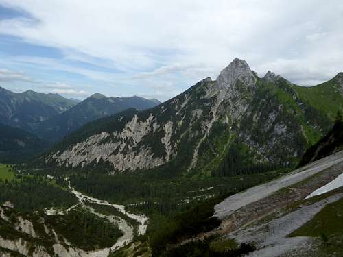
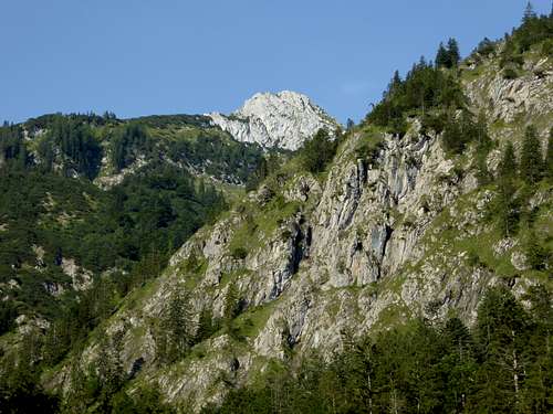
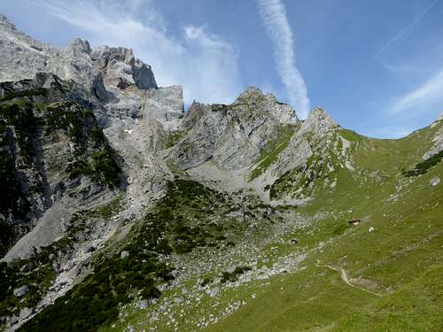
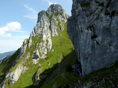
The broad southern col, Tor col, is the entrance to climb Torkopf which is in itself a huge rocky mountain, dropping down to Ron valley with an equal impressive rock face. The hike to Tor col is an easy one, the last 250 meters to Torkopf is a narrow and steep, unmarked trail which requires some caution especially with wet conditions.
Getting There
Trailhead for the two Torkopf routes is Hinterriß within Eng valley.
You reach Hinterriß by car
- on road number B 13 and B 307 coming from Bad Tölz and Lenggries via Fall / Sylvenstein dammed lake
- on road B318 and B 307 coming from Tegernsee region, Achenpass and Sylvenstein lake
- on road 181 coming from Inntal valley to the German / Austrian border at Achenpass, following road B 307 to Sylvenstein lake.
- Road B 307 ends at Vorderriß. Follow Risstal Landesstraße crossing the German / Austrian border until you reach Hinterriß.
There is a hiker parking area at the beginning of the village, another one after leaving the village (called parking area P2).
Public transportation
There is a hiker bus serving Eng valley. It starts at the railway station of Lenggries and has a bus stop at Hinterriß.
Routes Overview
There are two routes starting at Hinterriß.
Rontal route:
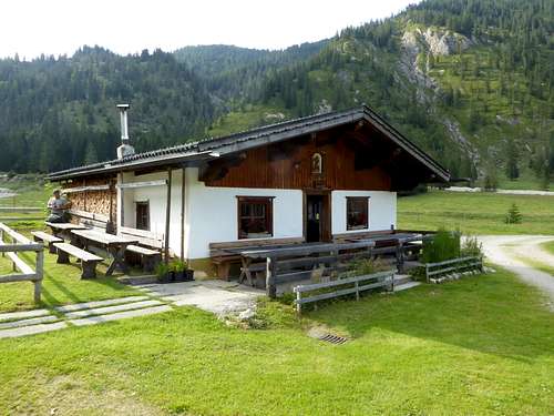
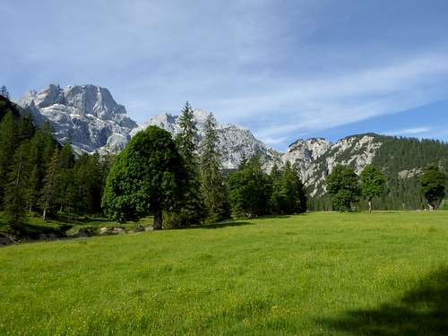
Take the right hand road about 100 m south of the Gasthof zur Post inn at Hinterriß and follow the signs to Rontal. A forest road brings you up to Rontalalm and a huge and broad alpine meadow with very old and impressive alpine maple trees an a breathtaking look on the north faces of Östliche Karwendelspitze and Vogelkarspitze.
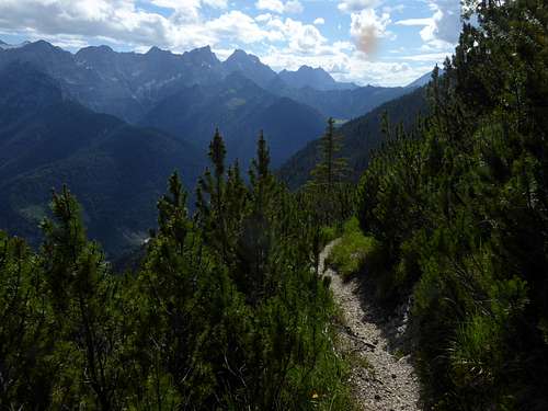
Go straight south at Rontalalm and follow the marked trail in some zigzags up to Tor col.
Tortal route:
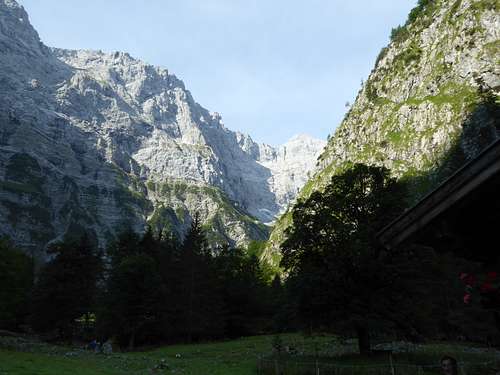
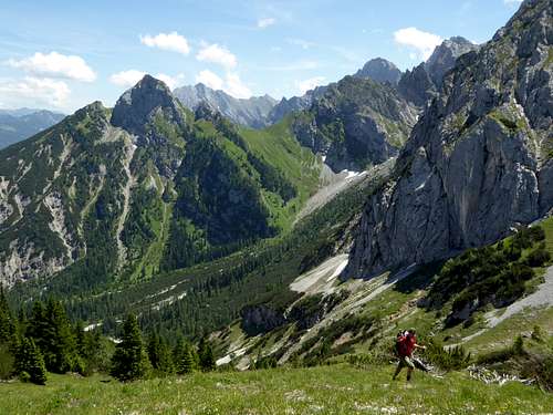
Take the forest road at the parking area P2 to the south. Go right at the first road junction and follow this road up into Tor valley to Toralm. Tor valley is a narrow valley with impressive views of the Talelekopf – Grabenkar- and Lackenkarspitze north faces.
Take the marked trail at Toralm and hike up to Tor col.
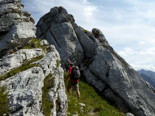
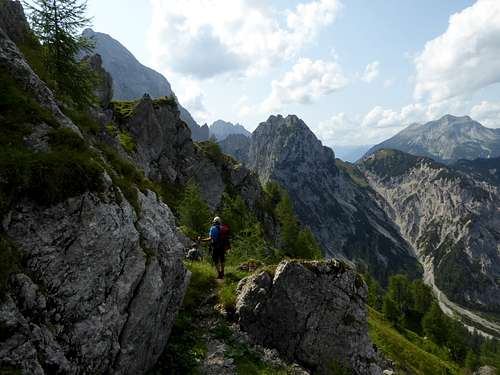
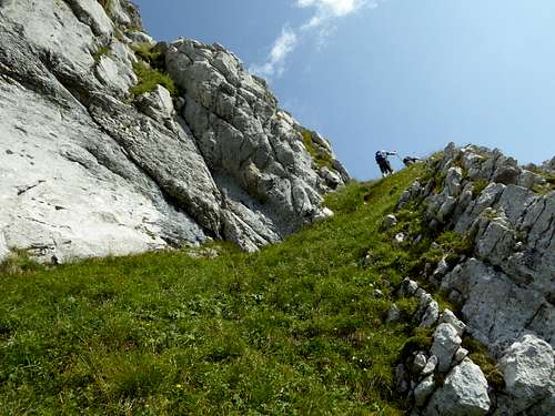
From Tor col hike up the meadows north of the col until you reach a narrow trail. At a steep rock tower take the left hand trail and traverse this rock tower on its west (left) side until you reagin the ridge at another col. The path goes up northbound steep and exposed meadows and changes on the equally steep and exposed east side of the mountain. There is a 3 meter high rock step as the main obstacle of this ascent. Pass through some rocks and hike up to the less steep summit meadows and the summit ridge. Caution with wet conditions!
Both routes to Torcol are ski routes, too.
Red Tape & Accommodation
Red Tape
Torkopf and the adjacent valleys belong to the Alpenpark Karwendel, an important and strictly protected National Park. One of the visitor information centers is located at Hinterriß
There is no entrance fee for the park but many regulations to follow.
Please respect the following rules in the National Park:

Accommodation
Accommodation can be found at
No camping within Alpenpark Karwendel
Overnight stay of motorhomes is strictly regulated and only possible at special parking areas
Rontal Alm offers drinks and some simple food.
There are no mountain huts around.
Gear & Mountain Conditions
Torkopf is a summer and autumn hike.
The trails to Tor col are easy hiking trails which require normal hiking gear and good shoes.
The summit ascent is a narrow, steep and exposed, unmarked track. Don’t try it with rain, ice, snow or wet conditions.
Tor col is a ski tour for advanced ski tourists and requires very safe avalanche conditions. Both slopes, to Rontal valley and to Tortal valley can be used as ascent route and/or downhill route.
See the Austrian / Tirol avalanche bulletin here.
Weather conditions Hinterriß:
Mountain Weather Vogelkarspitze:
Maps
Alpenvereinskarte 1 : 25.000
Blatt Nr. 5/2, Karwendel Mittleres Blatt
Online Shop Deutscher Alpenverein
together with
Alpenvereinskarte 1 : 25.000
Blatt Nr. 5/1, Karwendel Westliches Blatt
Online Shop Deutscher Alpenverein
both with trails and UTM grid
Bayerische Topographische Karte 1 : 50.000
Karwendel, UK 50/51 Landessamt für Vermessung und Geoinformation, München


