Toggle navigation
Mountains
Routes
Images
Trip Reports
Forum
What's New
People
Areas & Ranges
Articles
Trailheads
Canyons
Huts & Campgrounds
Albums
Logistical Centers
Fact Sheets
Lists
Custom Objects
Gear
Plans & Partners
WELCOME TO SUMMITPOST
SIGN IN
REGISTER
Mount Langley
Additional Parents
Image
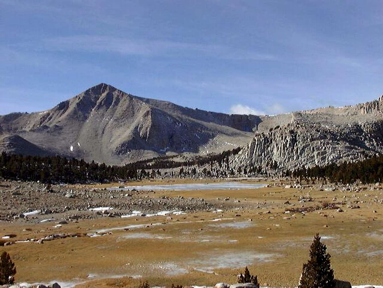
This meadowy swamp on the...
View High-Resolution Image
This meadowy swamp on the...
This meadowy swamp on the edge of the Cottonwood Lakes Basin used to be one of the Cottonwood Lakes. In this photo, the swamp is quite frozen.
Cirque Peak
is the peak on the left, and New Army Pass is out of view to the right..
« PREV
NEXT »
Tom Kenney
on
Nov 11, 2003 10:22 pm
Comments & voting
Other parents
Lat/Lon:
36.52330°N / 118.238°W
Image ID:
32882
3011 Hits
73.06
% Score
3
Votes
Log in to vote
Comments
No comments posted yet.
to post!
Don't have an account?
Mount Langley
(Mountain/Rock)
« PREV
Viewing
#108 of 277
GALLERY
NEXT »
Tom Kenney's Image Gallery
« PREV
Viewing
#127 of 316
GALLERY
NEXT »
×
You need to login in order to vote!
User Name
Password
Remember me
Forgot your password?
Log me out when I close my browser.
Keep me logged in all the time.
sign in as a user
Don't have an account?
Register now for FREE
Rating available
Suggested routes for you
People who climb the same things as you
Comments Available
Create Albums
Register Here


