

PellucidWombat - May 28, 2004 5:56 pm - Hasn't voted
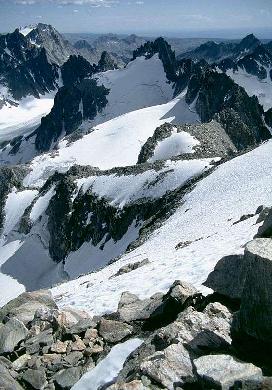
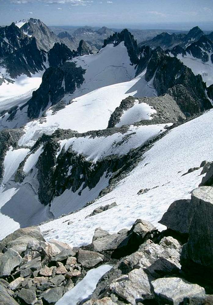
Wonderful photoWhat is the name of the peak in the center foreground of the photo with the spikey summit ridge? It looks like a pretty wild climb!

Klenke - May 28, 2004 9:00 pm - Hasn't voted
Re: Wonderful photoI'm going to take a stab at this...
The peak with the snow coming to the top is Pt. 13365 on the crest running south from Gannett. Rising directly behind Pt. 13365 is Mt. Woodrow Wilson (13, 502 ft). Extending to the left of MWW are (right to left): The Sphinx (13,258 ft), Bobs Towers, and Miriam Peak. The high peak at top left is Fremont Peak (at 13,745 ft it is 3rd-highest in Wyoming). Finally, I'm not positive, but I'm going to go with the peak at far right in the distance being American Legion Peak (13,205 ft). Titcomb Basin is on the other side of MWW.

iplabs - Feb 11, 2007 8:01 pm - Hasn't voted
Re: Wonderful photoThat formation is called Pinnacle Ridge or Petzoldt's Pinnacle Ridge.

Bob Bolton - Feb 11, 2007 11:04 pm - Hasn't voted
Re: Wonderful photoThanks - I modified the caption to include that information.


Comments
Post a Comment