selfmade map of the Venediger...

selfmade map of the Venediger...

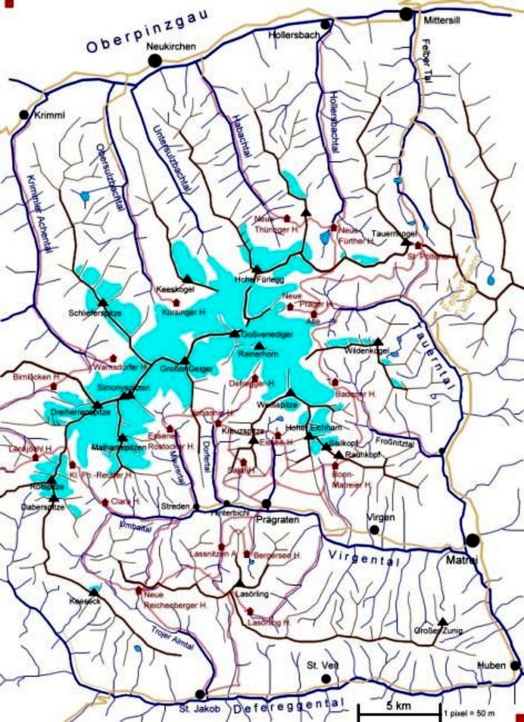
selfmade map of the Venediger Group except the SW italian part. (If you want to read the text and look at the map in addition you can open your browser a 2nd time); blue: rivers and lakes; red: huts and hiking trails; brown: mountain chains; turquoise: glaciers; yellow: roads; note: the picture is originally bigger so here 1 pixel is more than 50 m. HERE IT IS IN ORIGINAL SIZE
Mathias Zehring
on Nov 24, 2002 3:59 am
Image ID: 14285

Comments

Post a Comment
Viewing: 1-2 of 2
Vid Pogachnik

Vid Pogachnik - Nov 24, 2002 1:07 pm - Hasn't voted

What a job!

Mathias, that's really an effort. Congratulations!

wuedesau

wuedesau - Oct 31, 2003 4:36 am - Voted 10/10

This seems to be the product of a bad weather period

the page is really well done!

Viewing: 1-2 of 2