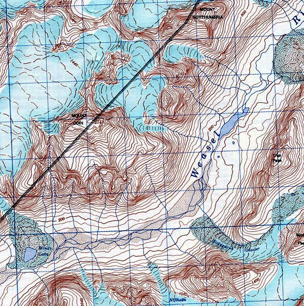
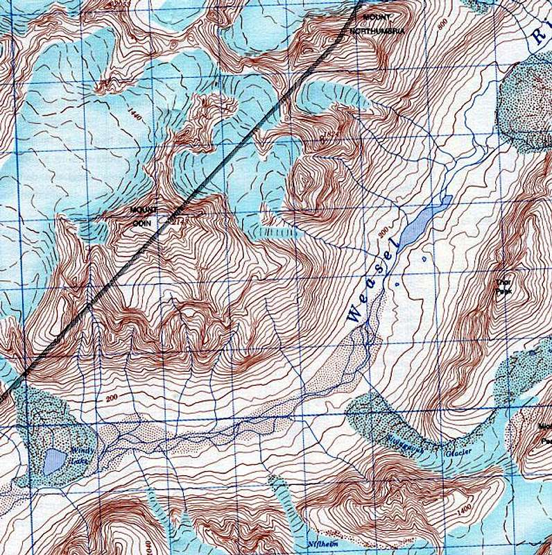
Scanned from 1:50,000 "Mount...
Scanned from 1:50,000 "Mount Asgard" map published by The Canada Centre for Mapping - Department of Energy, Mines and Resources 1994
Map 26-I/11
1000m grid is 2 deg 4 min off true North
contours at 40m
Scanned at 100 DPI


