Toggle navigation
Mountains
Routes
Images
Trip Reports
Forum
What's New
People
Areas & Ranges
Articles
Trailheads
Canyons
Huts & Campgrounds
Albums
Logistical Centers
Fact Sheets
Lists
Custom Objects
Gear
Plans & Partners
WELCOME TO SUMMITPOST
SIGN IN
REGISTER
Annapurna Circuit
Additional Parents
Image
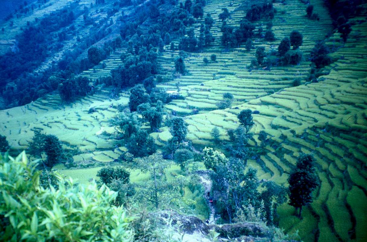
Rice fields after Bahundanda
View High-Resolution Image
Rice fields after Bahundanda
The path winds among the rice fields when you leave Bahundanda on the second morning of the trek. If you look carefully, our group can be seen in the lower part of the picture.
« PREV
NEXT »
eza
on
Mar 16, 2007 3:35 pm
Comments & voting
Other parents
Lat/Lon:
28.56670°N / 83.83330°E
Image Type(s):
Informational
,
Scenery
Image ID:
278380
1811 Hits
0
% Score
0
Votes
Log in to vote
Comments
No comments posted yet.
to post!
Don't have an account?
Annapurna Circuit
(Custom Object)
« PREV
Viewing
#125 of 152
GALLERY
NEXT »
eza's Image Gallery
« PREV
Viewing
#1339 of 1490
GALLERY
NEXT »
×
You need to login in order to vote!
User Name
Password
Remember me
Forgot your password?
Log me out when I close my browser.
Keep me logged in all the time.
sign in as a user
Don't have an account?
Register now for FREE
Rating available
Suggested routes for you
People who climb the same things as you
Comments Available
Create Albums
Register Here


