Toggle navigation
Mountains
Routes
Images
Trip Reports
Forum
What's New
People
Areas & Ranges
Articles
Trailheads
Canyons
Huts & Campgrounds
Albums
Logistical Centers
Fact Sheets
Lists
Custom Objects
Gear
Plans & Partners
WELCOME TO SUMMITPOST
SIGN IN
REGISTER
Red mountain to the south and...
View High-Resolution Image
Red mountain to the south and...
Red mountain to the south and the saddle (meadow area) where the trail terminates. Wheeler Peak can be seen in the distance in the center of this pic with two clouds above it. 9-6-04
« PREV
NEXT »
Dean
on
Sep 14, 2004 4:27 pm
Comments & voting
Other parents
Lat/Lon:
39.82820°N / 113.9189°W
Image ID:
69618
6992 Hits
78.6
% Score
10
Votes
Log in to vote
Comments
Post a Comment
Viewing: 1-1 of 1
desainme
-
Sep 14, 2004 5:07 pm - Voted 10/10
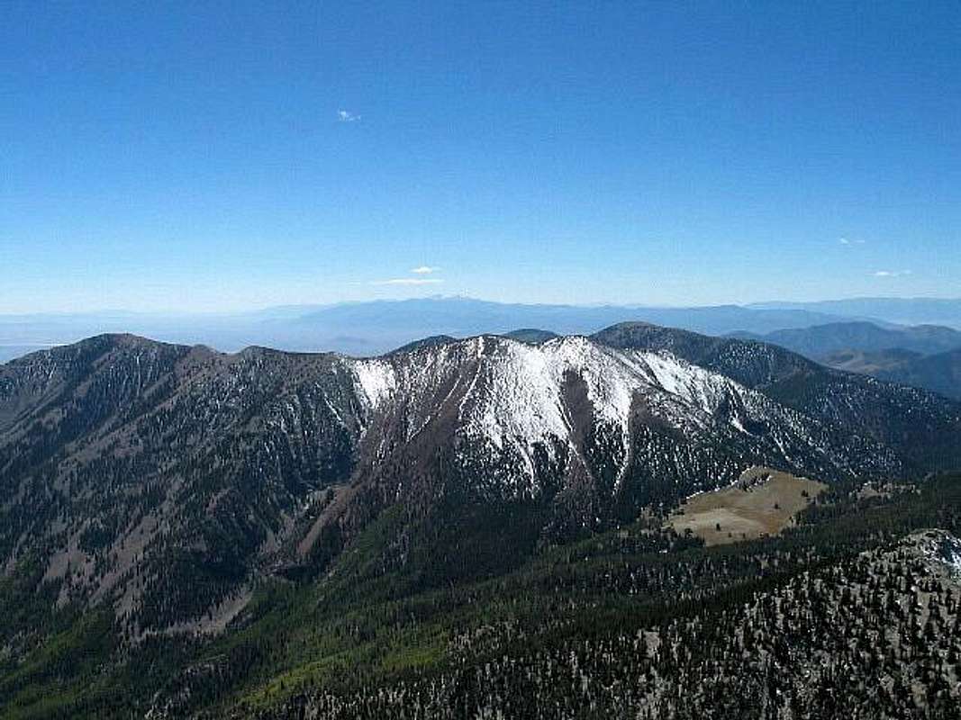
Yikes: Distant view of Wheeler
Thanks: that's lots of desert between Ibapah and Wheeler
Viewing: 1-1 of 1
to post!
Don't have an account?
Ibapah Peak (UT)
(Mountain/Rock)
You are at
the First
Image
Viewing
#1 of 1
GALLERY
You are at
the Last
Image
Dean's Image Gallery
« PREV
Viewing
#1820 of 7927
GALLERY
NEXT »
Ibapah Peak (UT)
(Mountain/Rock)
Loading....
Red Mtn - Deep Creeks
(Mountain/Rock)
Loading....
×
You need to login in order to vote!
User Name
Password
Remember me
Forgot your password?
Log me out when I close my browser.
Keep me logged in all the time.
sign in as a user
Don't have an account?
Register now for FREE
Rating available
Suggested routes for you
People who climb the same things as you
Comments Available
Create Albums
Register Here
Comments
Post a Comment