The view down to the head of...

The view down to the head of...

The view down to the head of the Nort Fork Entiat River from the summit of Emerald Peak. Beyond is Duncan Ridge. The pink line is the North Fork Entiat River Trail. It meets the Pyramid Mountain Trail (blue line) at 6,600 ft. The PMT continues northward and climbs over Saska Pass (actually just above the pass) to finally descend to an end at the Snow Brushy Creek Trail. The red triangle marks the meadow where I camped (go here for a picture of that meadow up close). July 14, 2001.
Klenke
on Jan 28, 2004 11:12 pm
Image ID: 39969

Comments

Post a Comment
Viewing: 1-1 of 1
wuedesau

wuedesau - Jan 29, 2004 2:04 am - Hasn't voted

Looks like a

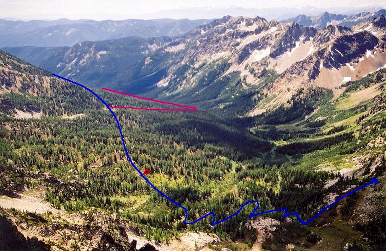
lovely untouched area

Viewing: 1-1 of 1